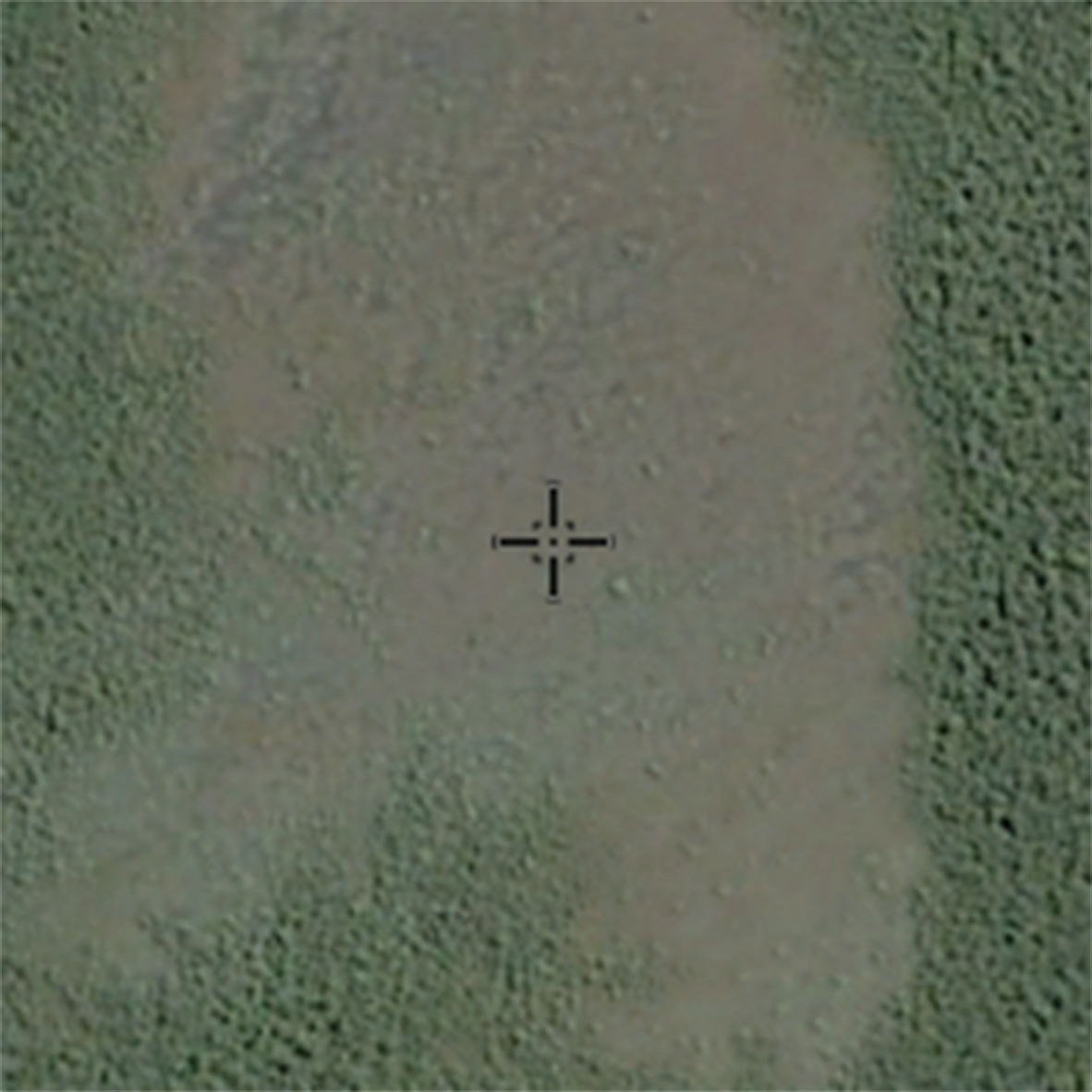
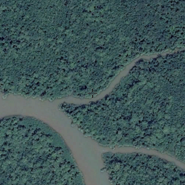
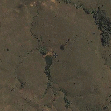
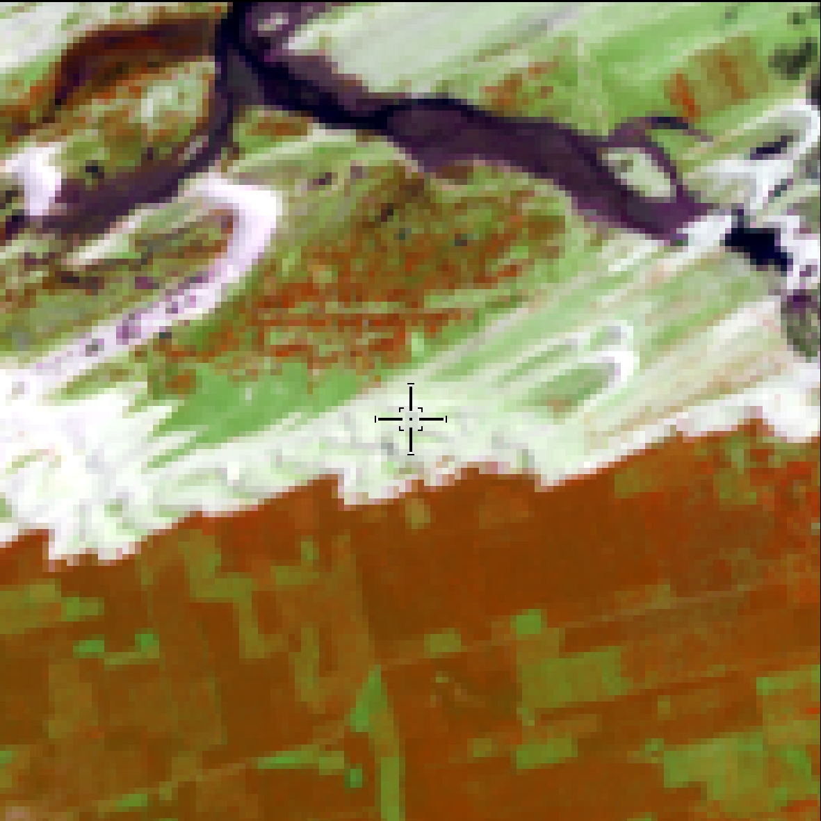
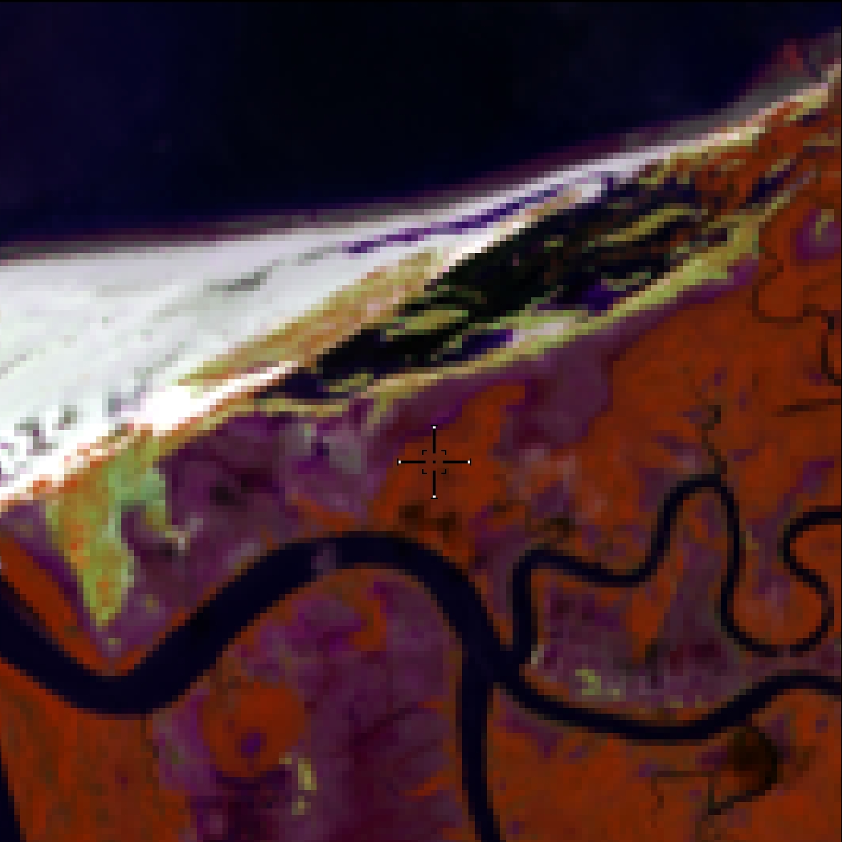
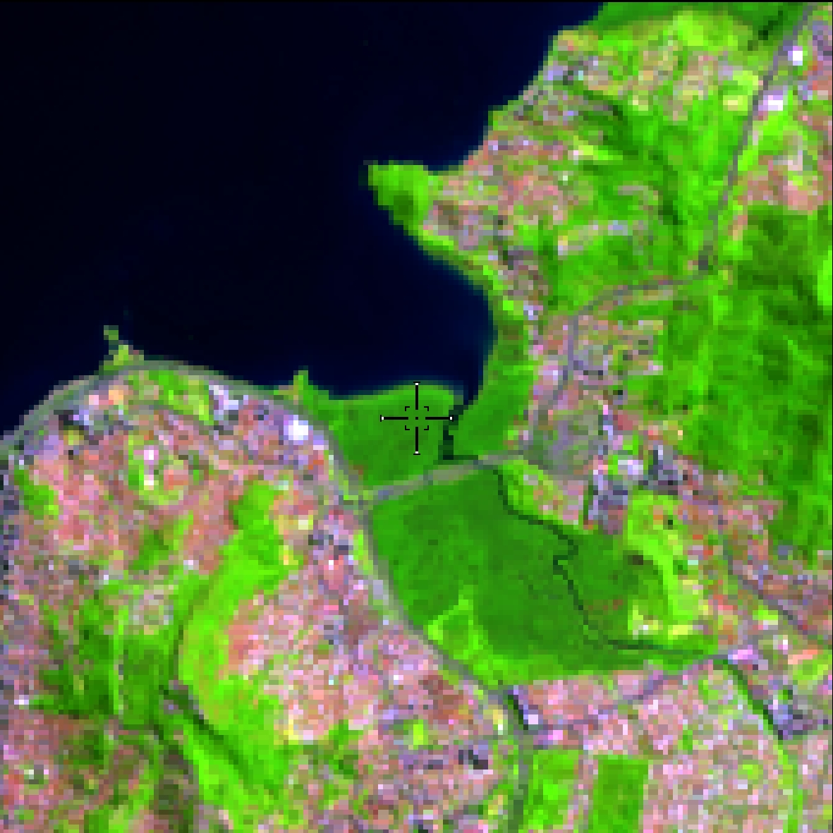
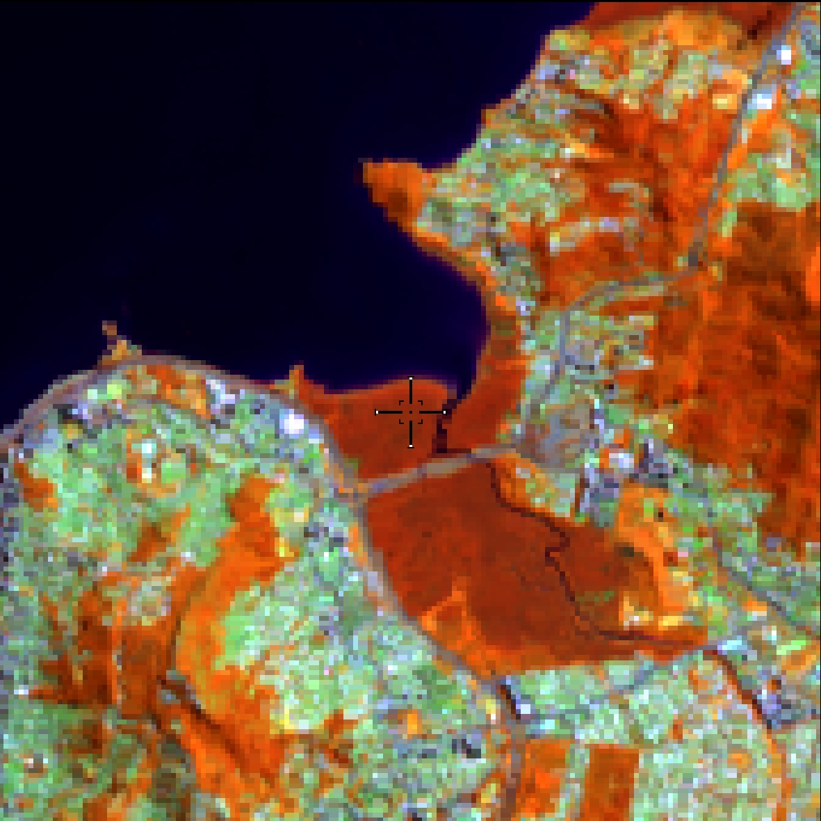
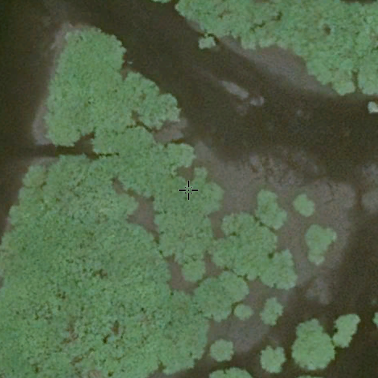
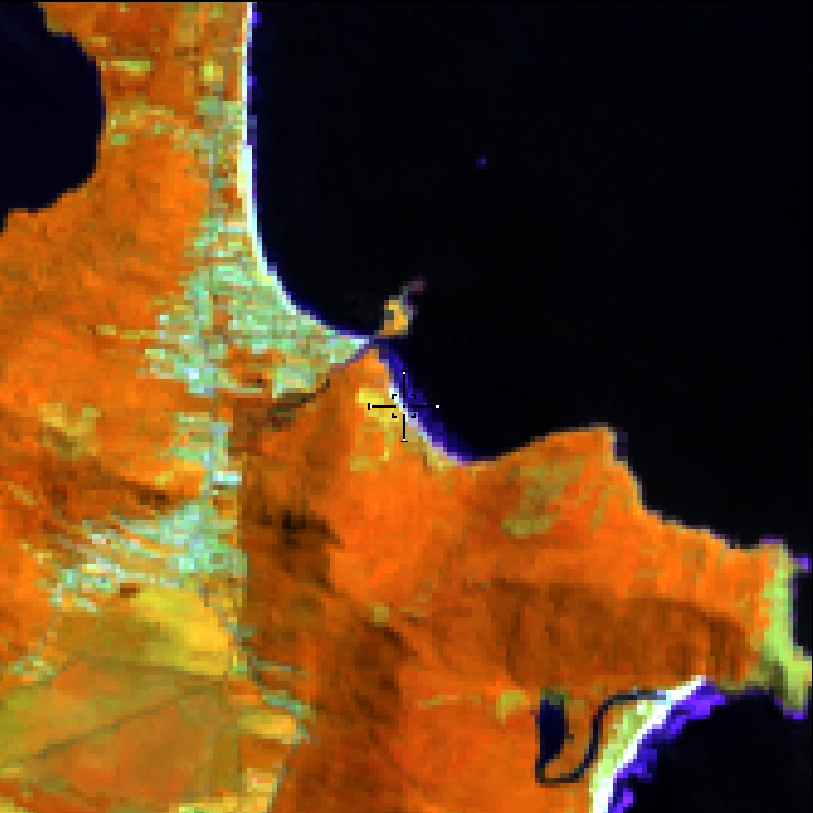
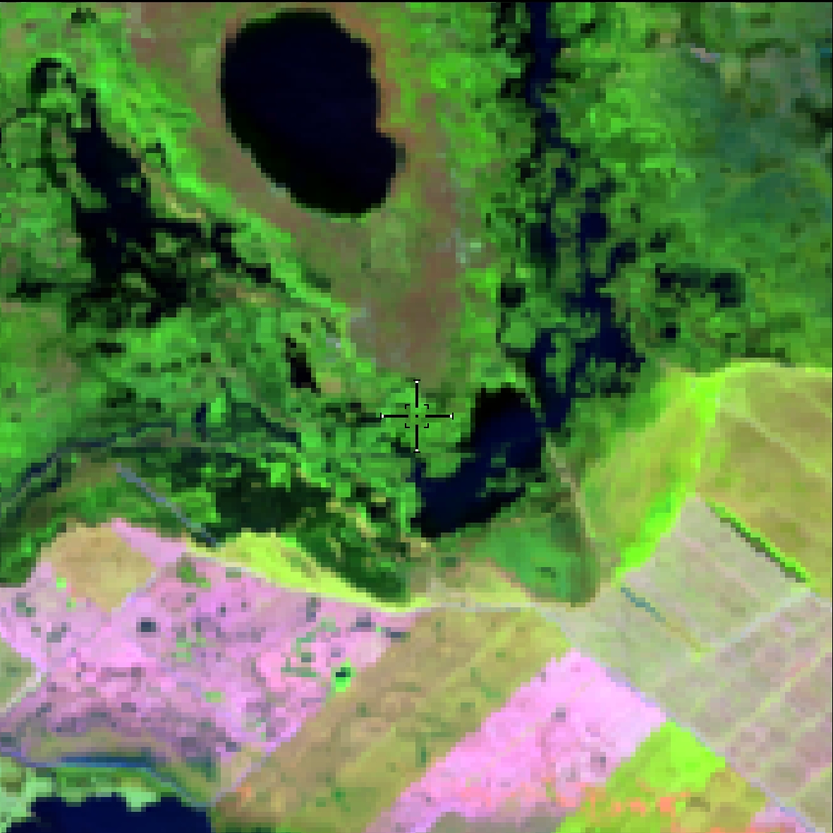
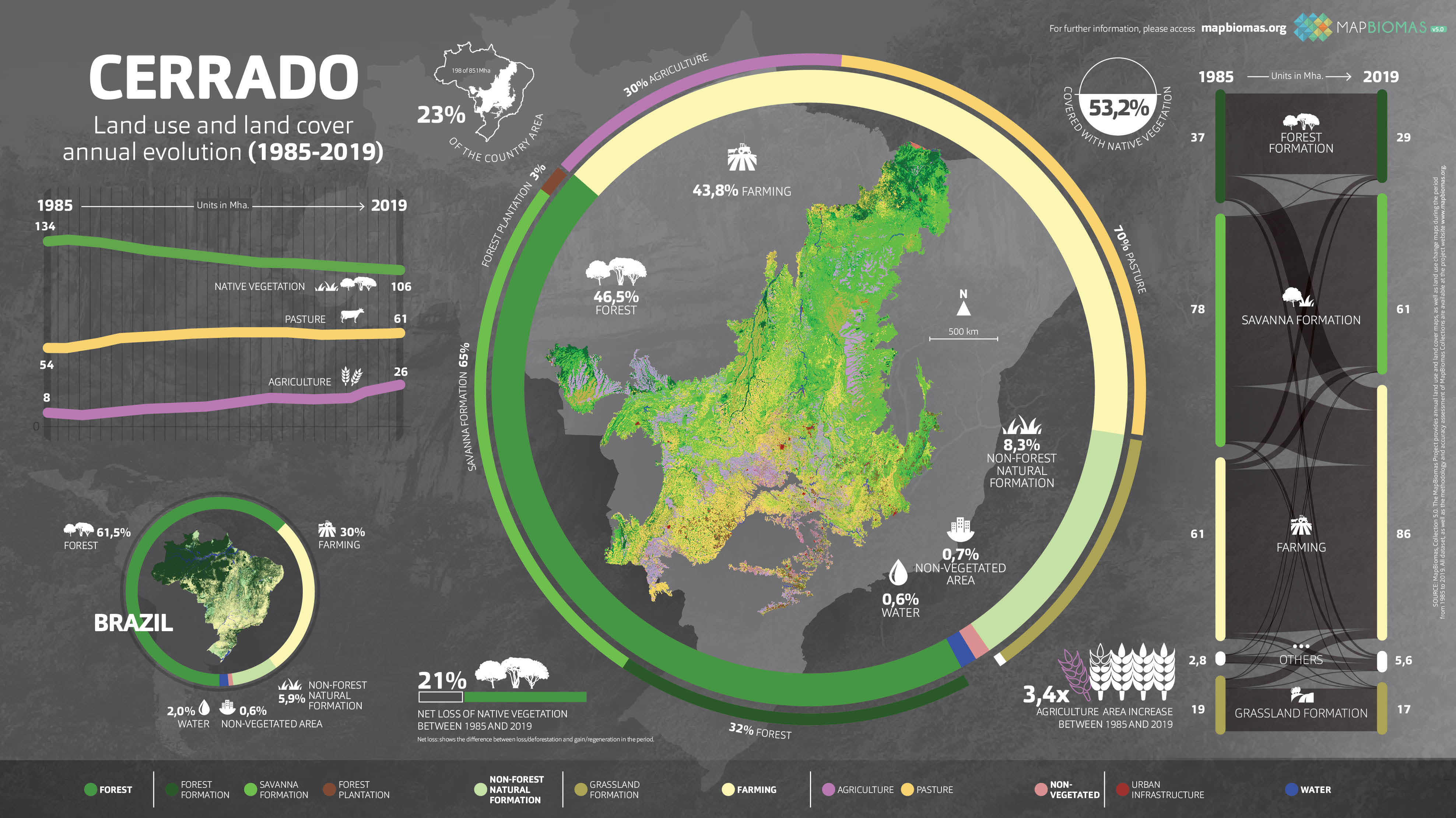
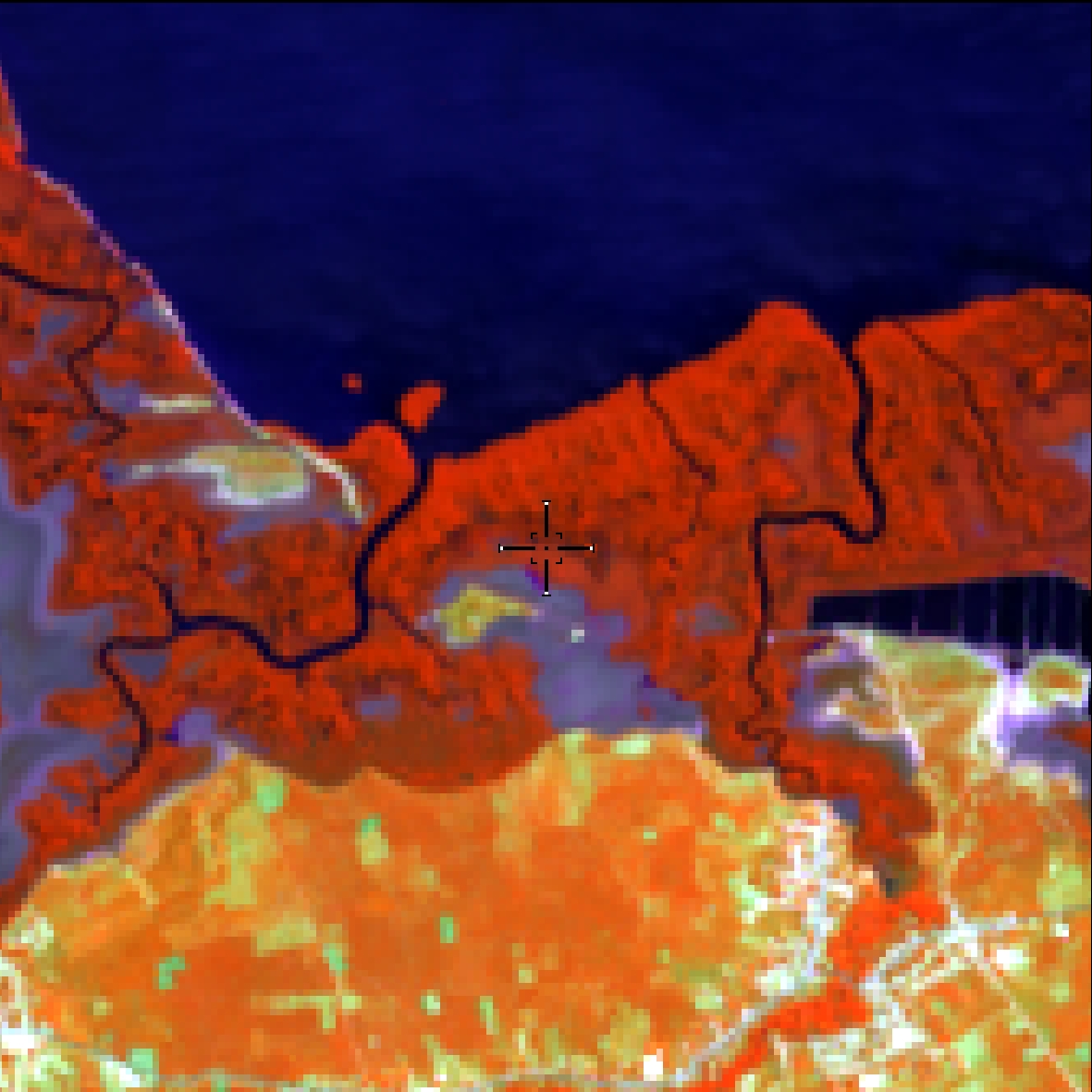
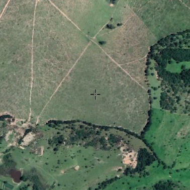
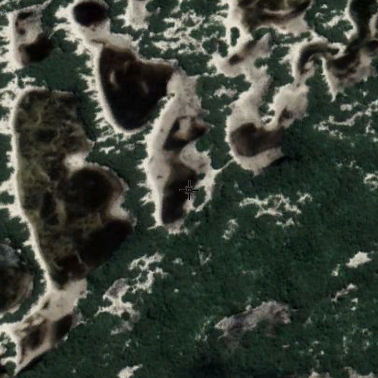
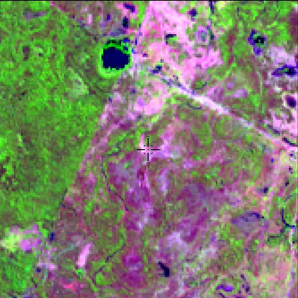
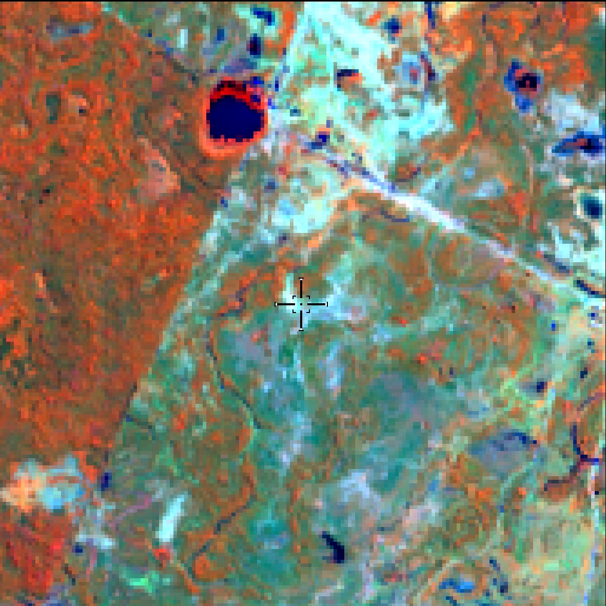
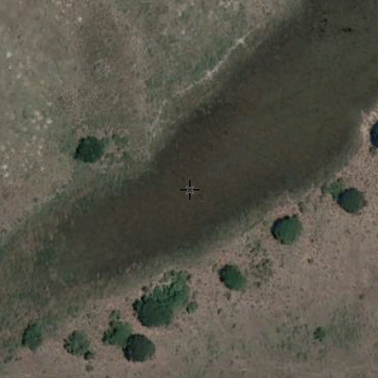
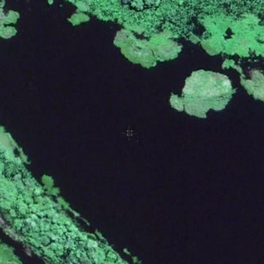
"Apicuns" or Salt flats are formations often without tree vegetation, associated to a higher, hypersaline and less flooded area in the mangrove, generally in transition area with the main land.
Salty mud ponds on the edges of mangroves
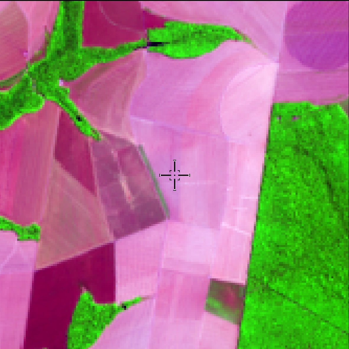
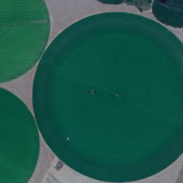
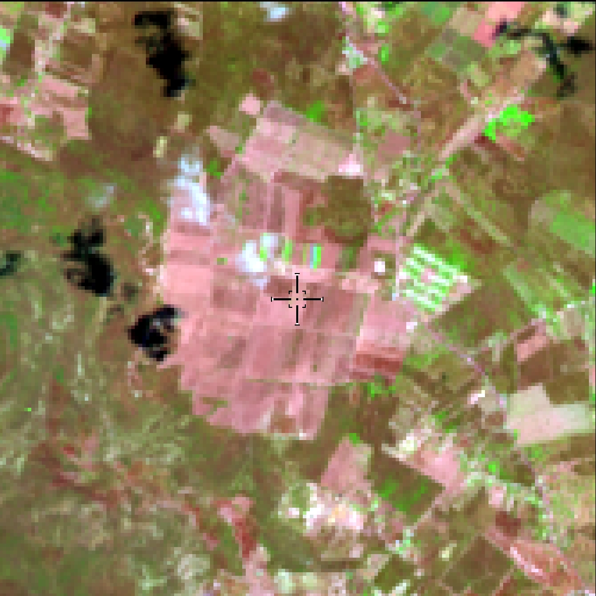
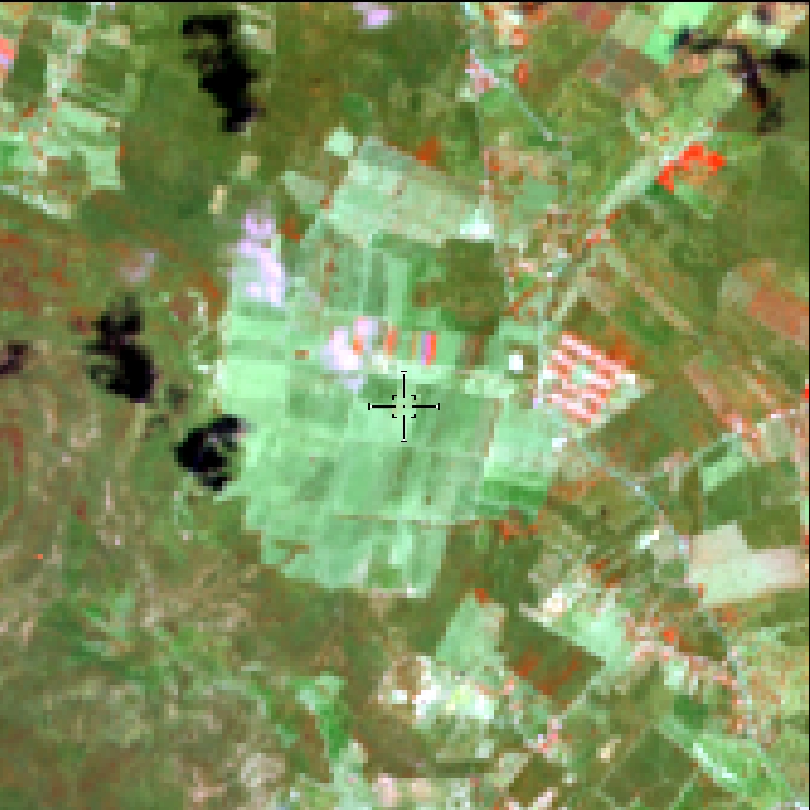
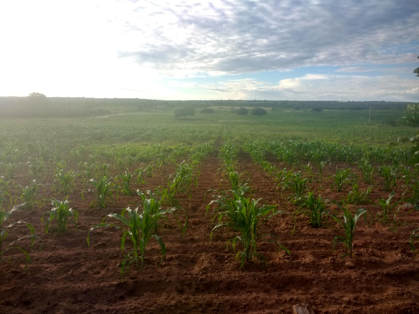
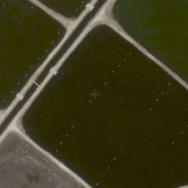
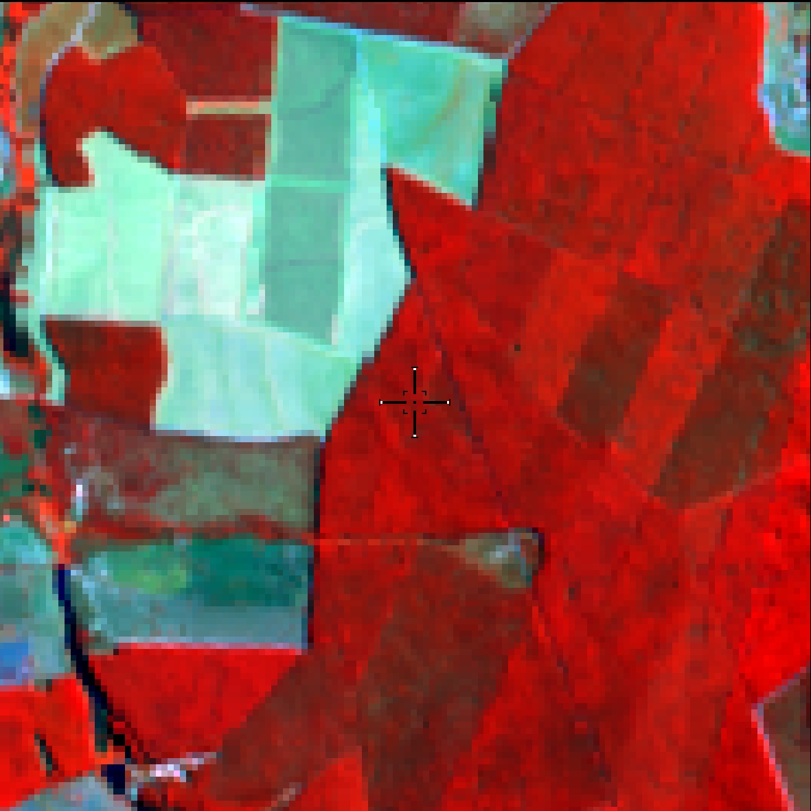
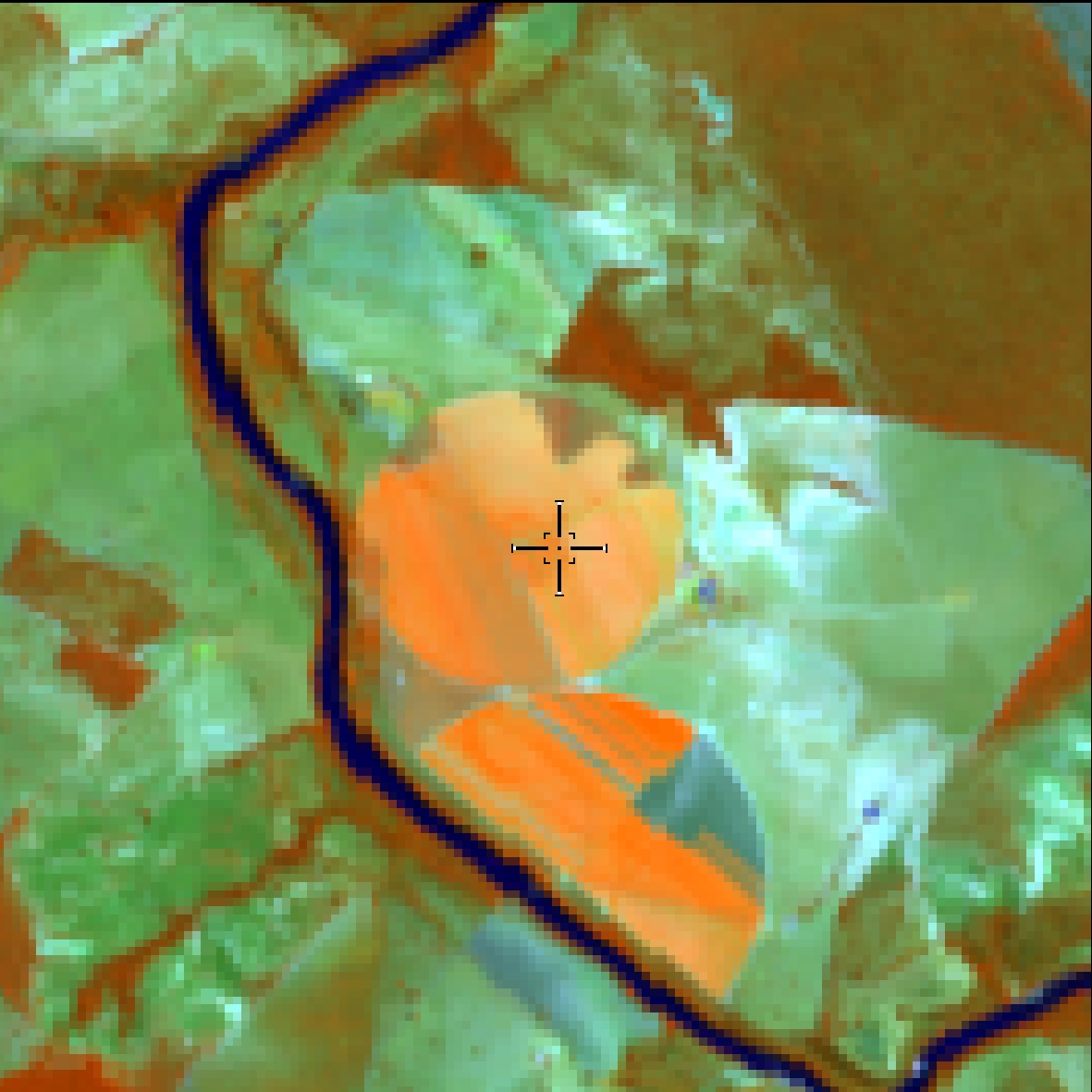
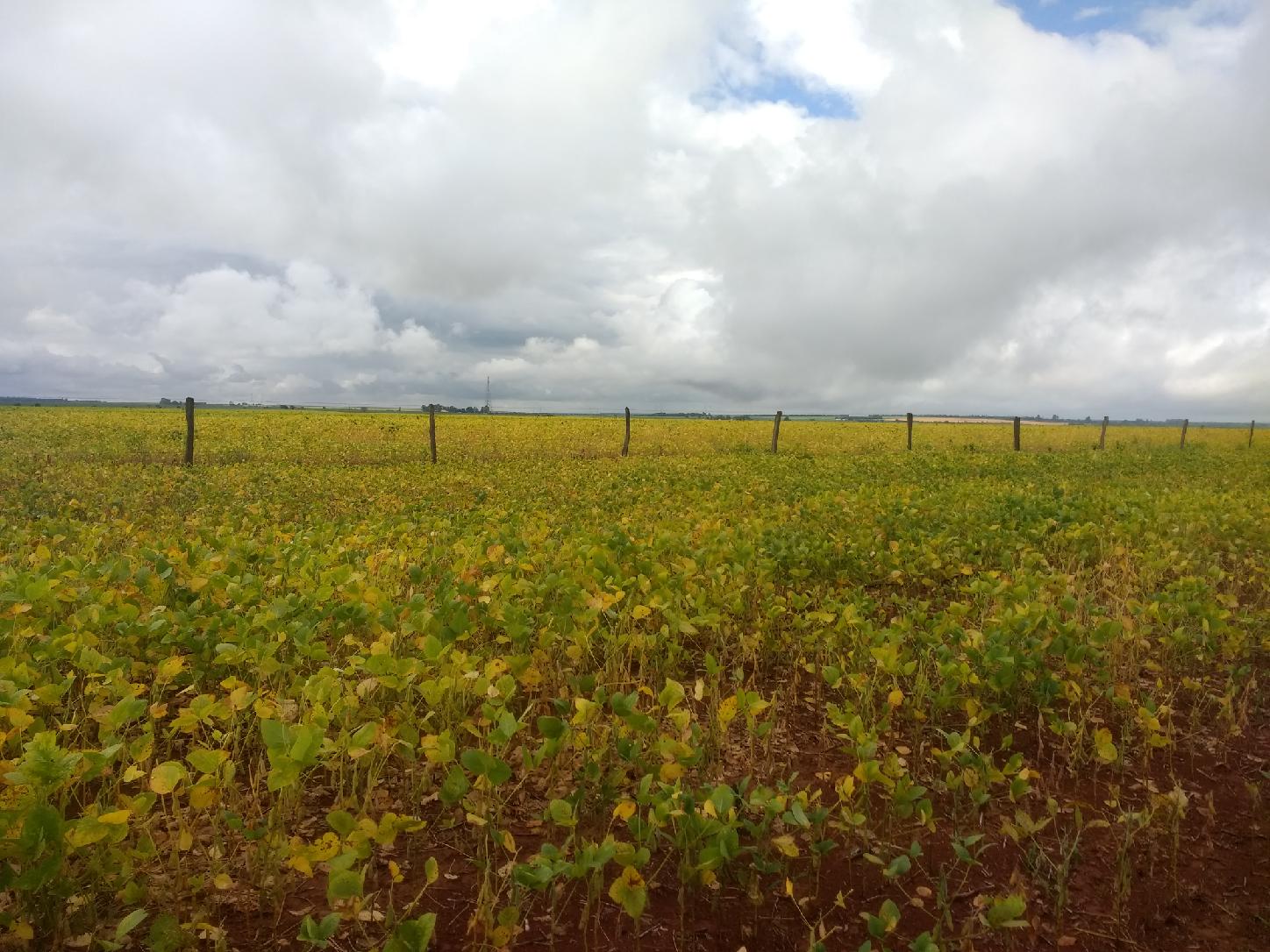
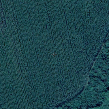
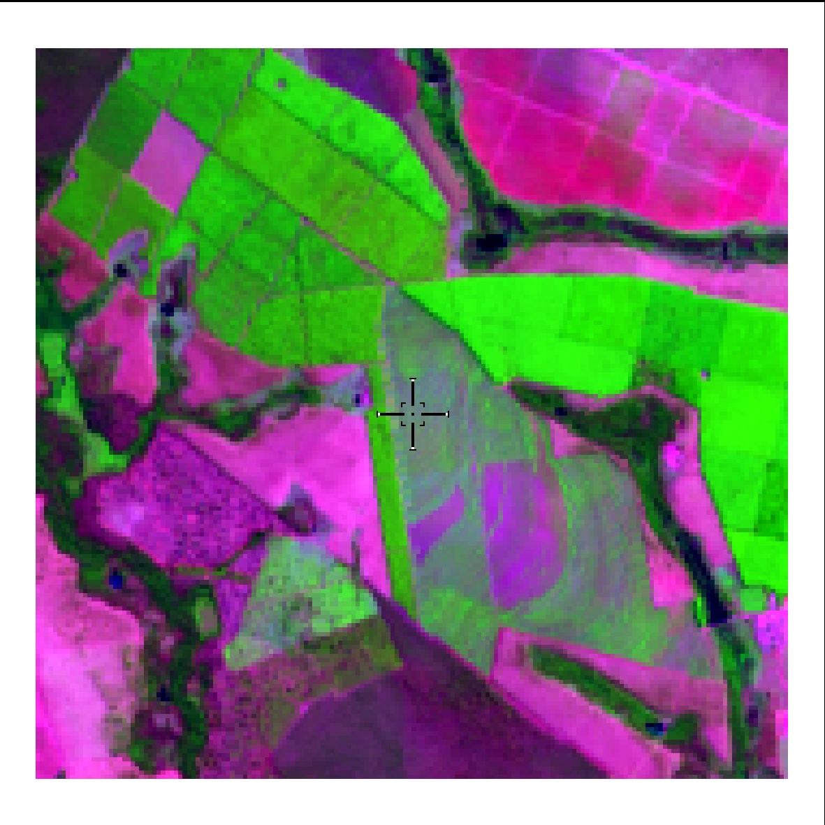
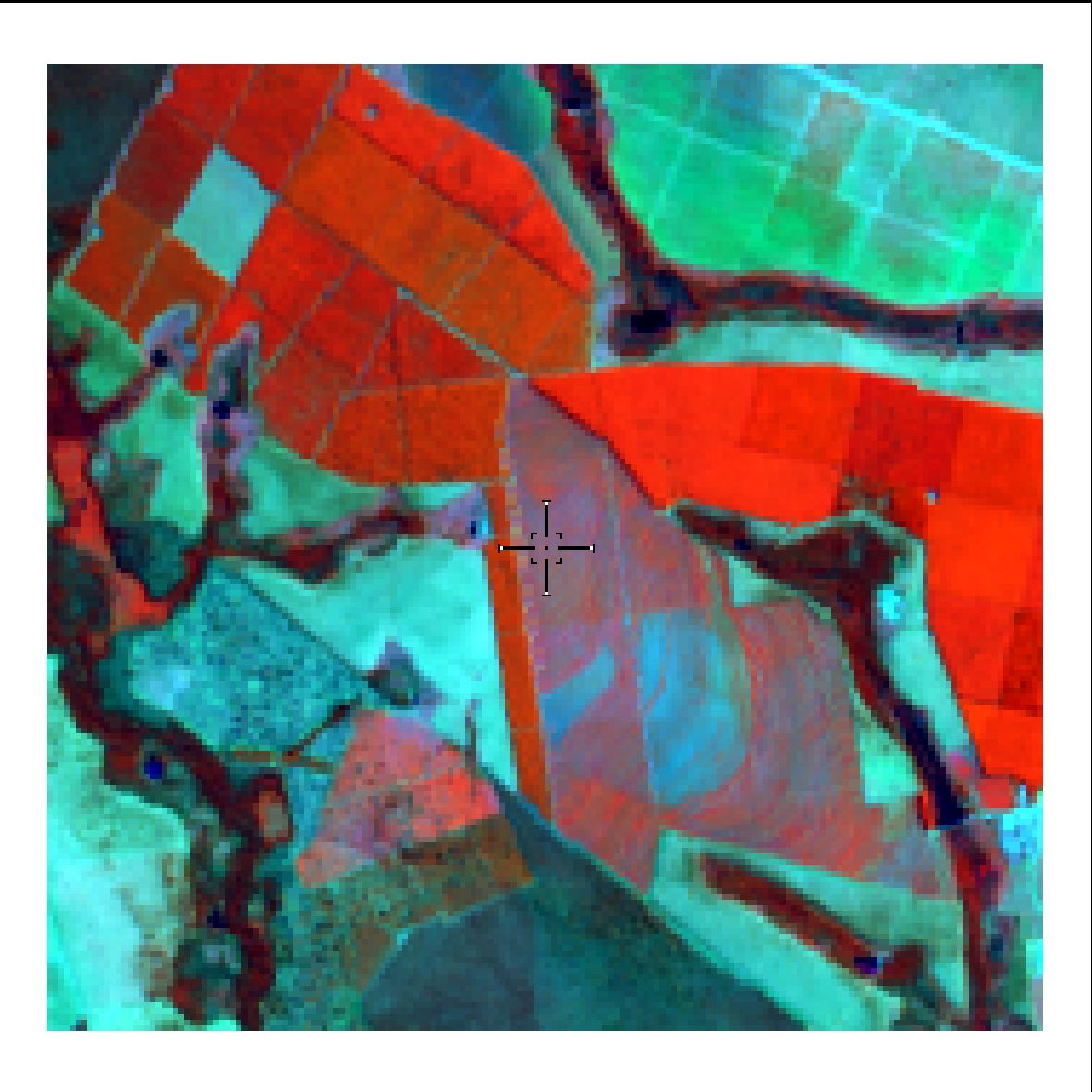
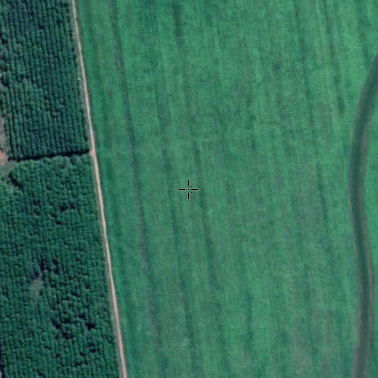
Areas predominantly occupied with temporary crops and, in some regions (mainly for the Northeast region) with the presence of perennial crops.
For large
areas consider the time signature of NDVI plot.
Most homogeneous area in relation to the
neighborhoods.
Presents base soil in the fallow period.
Concentration in the Northeast region of the
State of Pará (Tomé-Açú, Tailândia and Ipixuna do Pará).
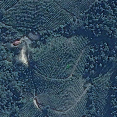
Palm oil, cocoa (Moju) (presence of
rectangular plots with high infrared response).
Red color (RGB 564) at the peak of
cultivation.
Medium roughness.
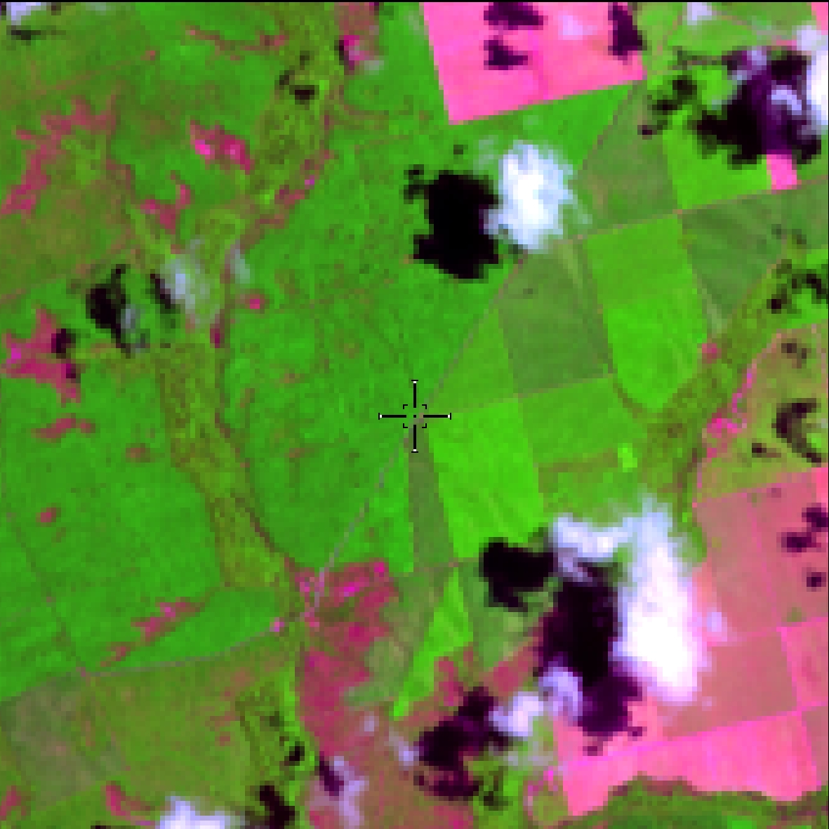
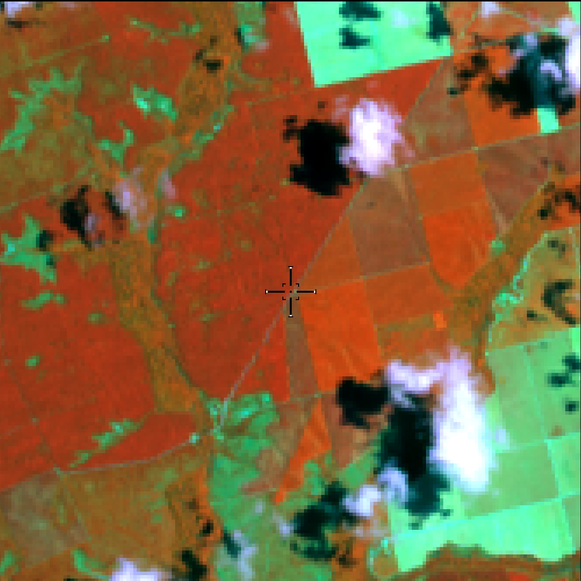
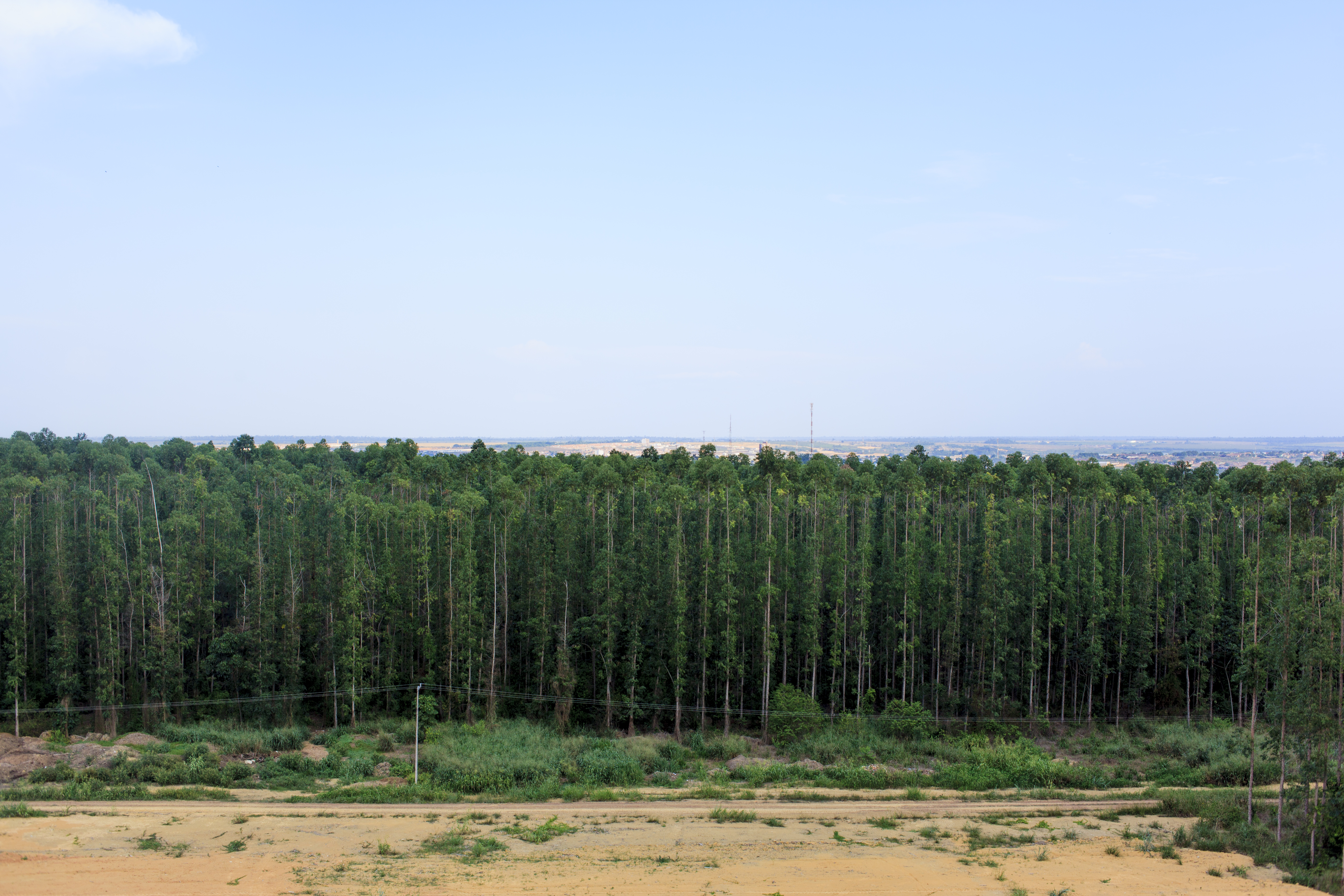
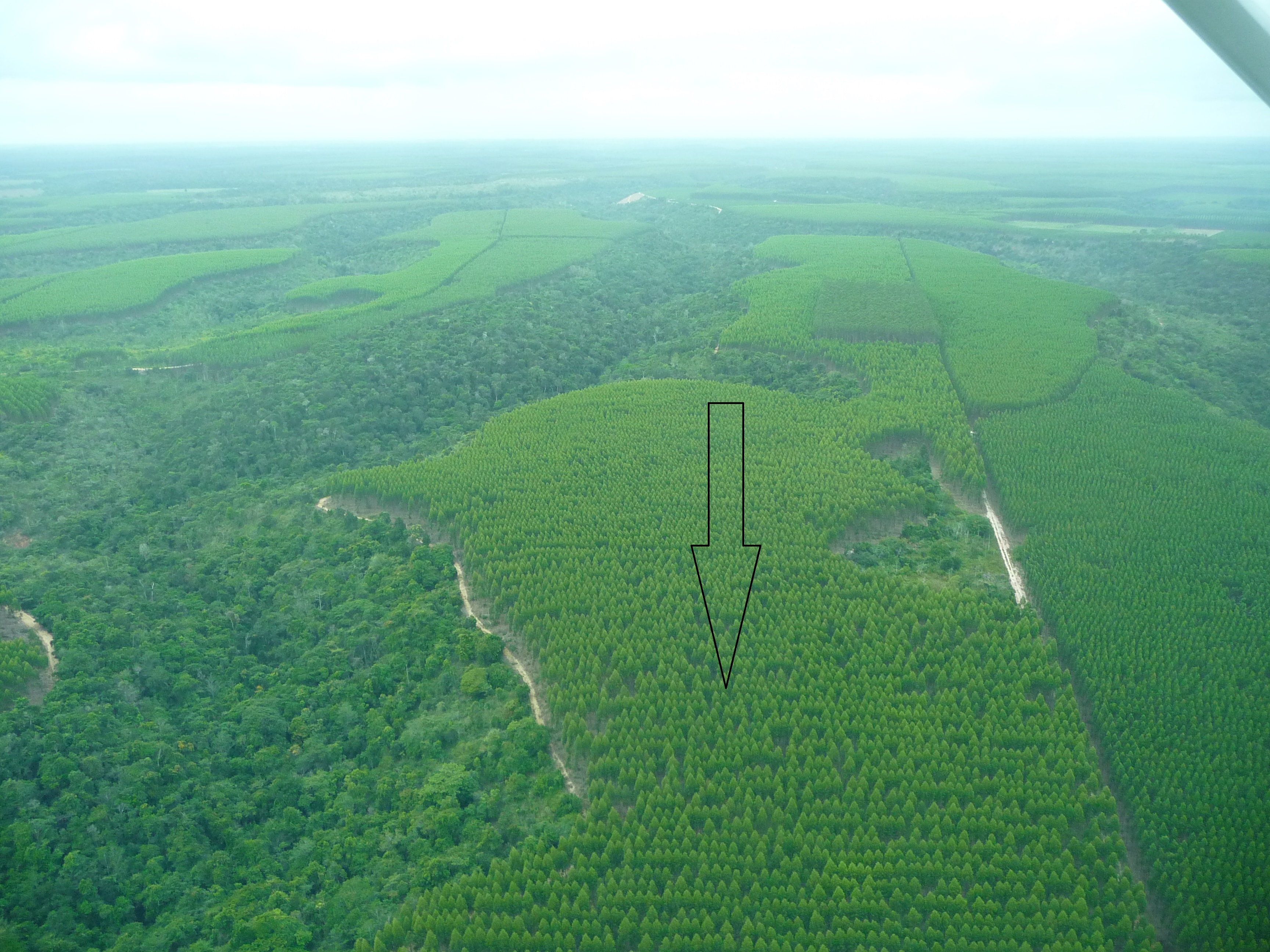
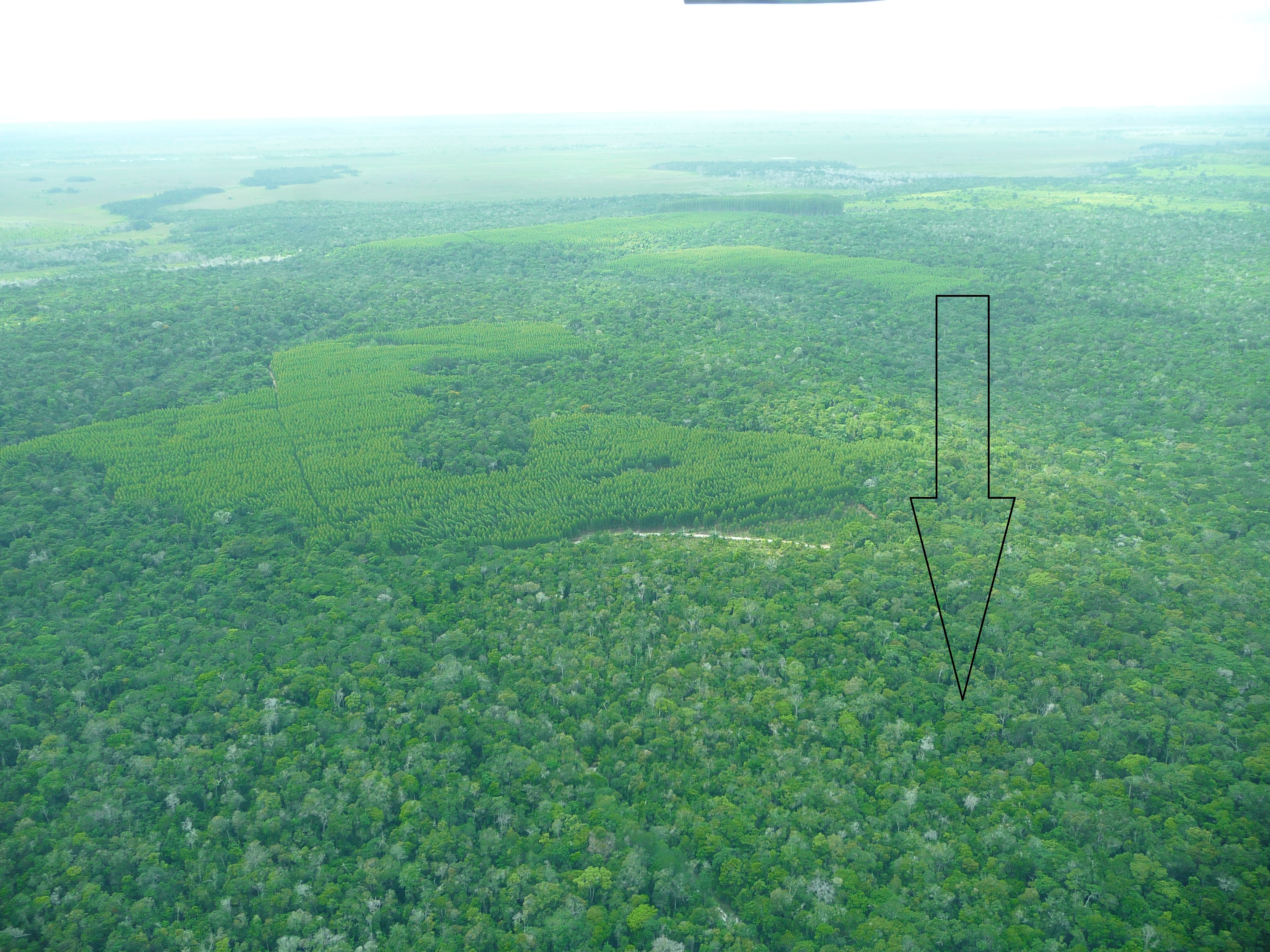
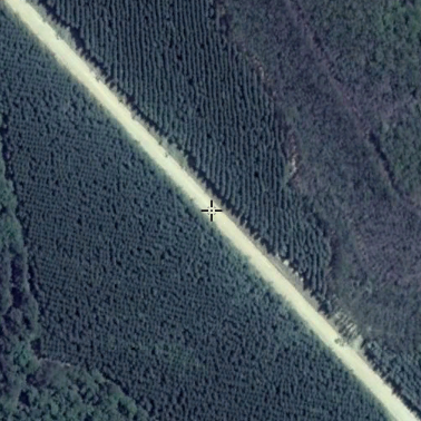
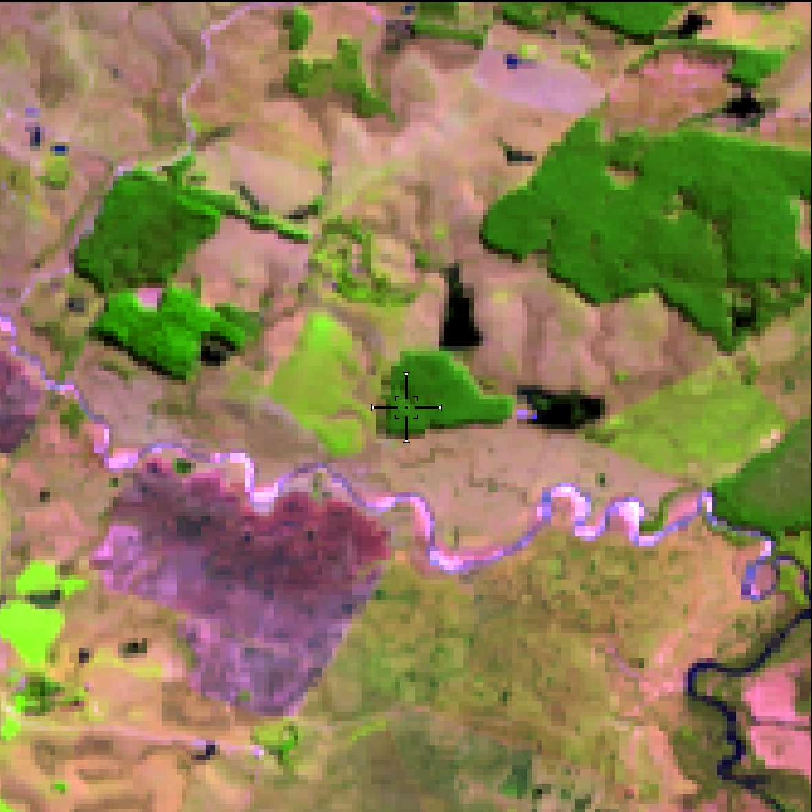
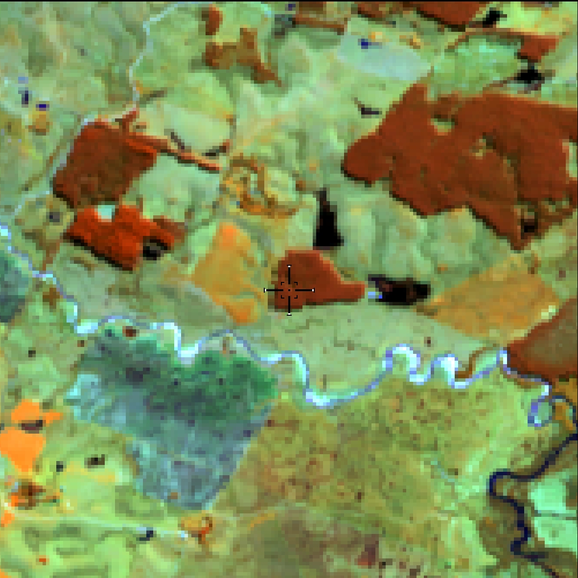
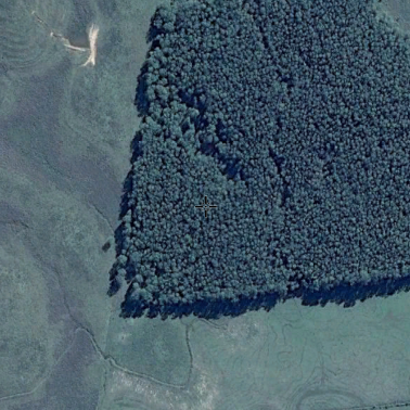
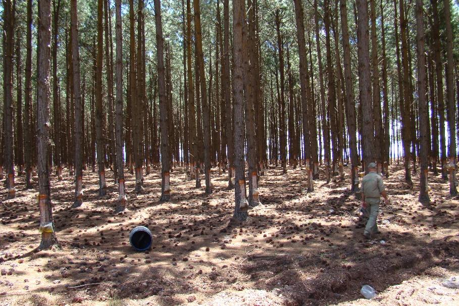
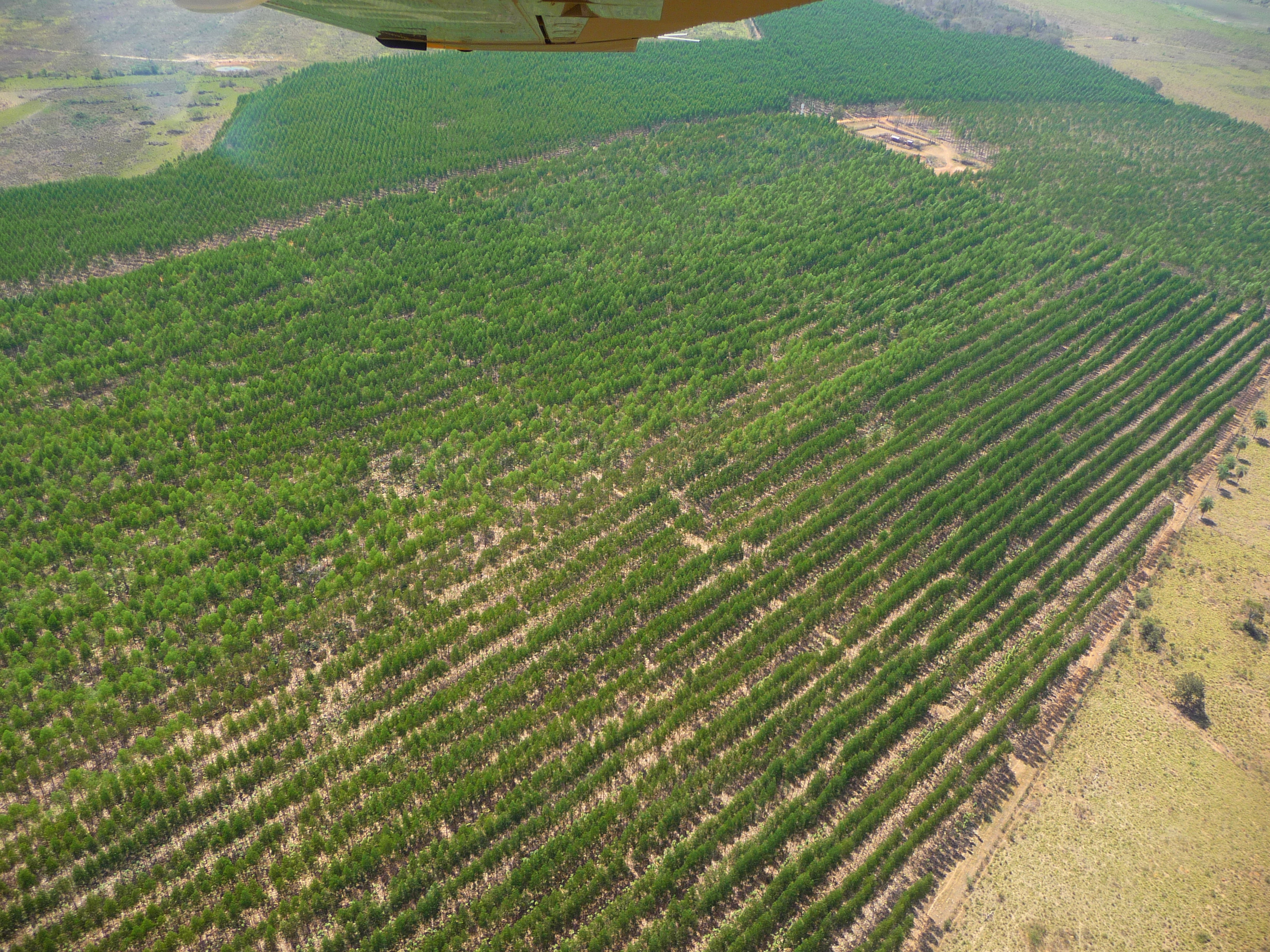
Planted tree species for commercial use (e.g. Eucalyptus, Pinus and Araucaria)
Eucalyptus
plantations, red color (RGB 564), medium texture / roughness.
Predominant in the state of Amapá and border
with Pará.
Consider fallow for 5 years.
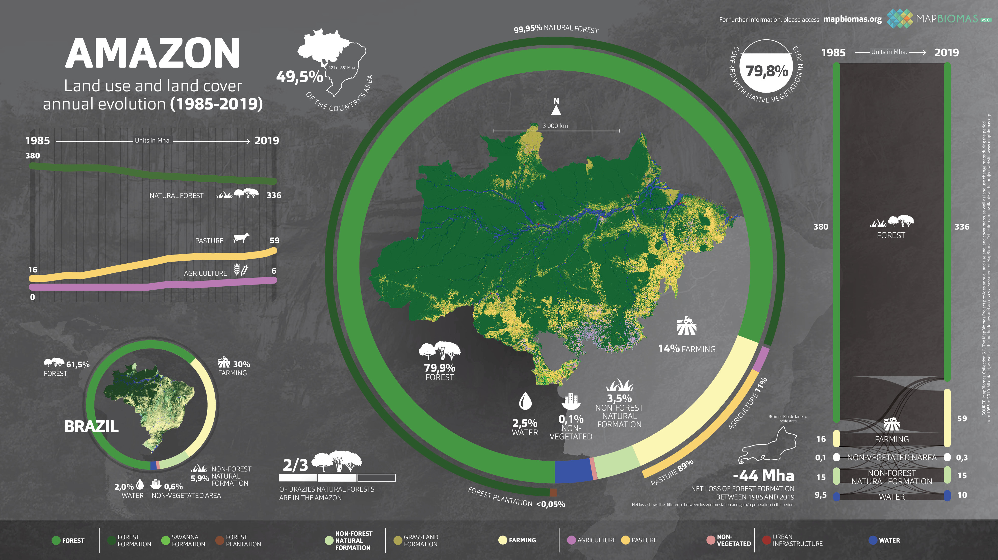
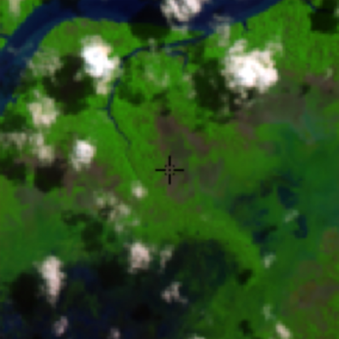
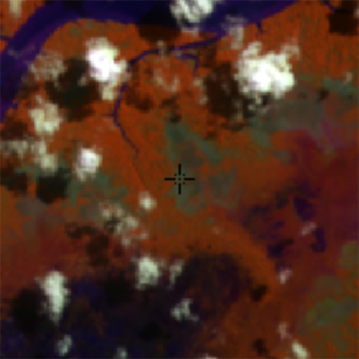
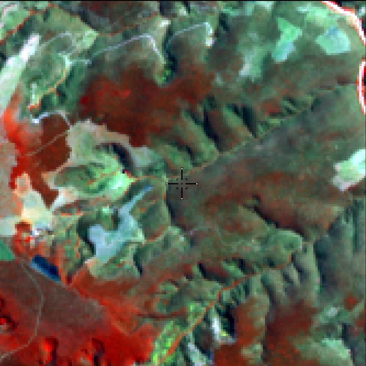
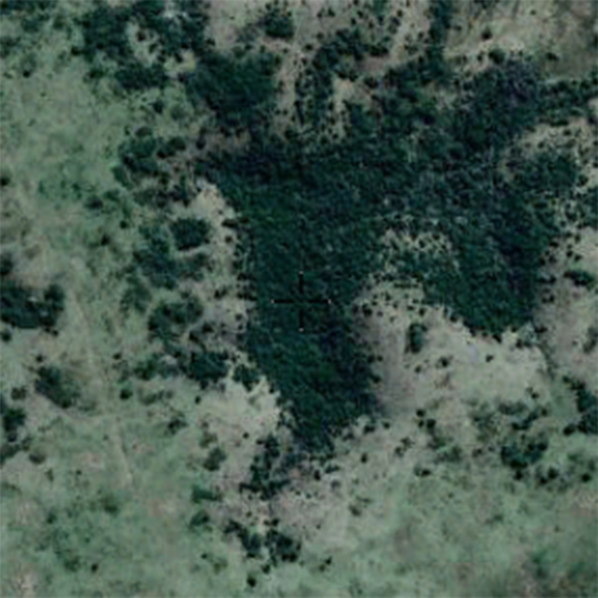
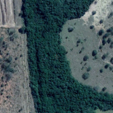
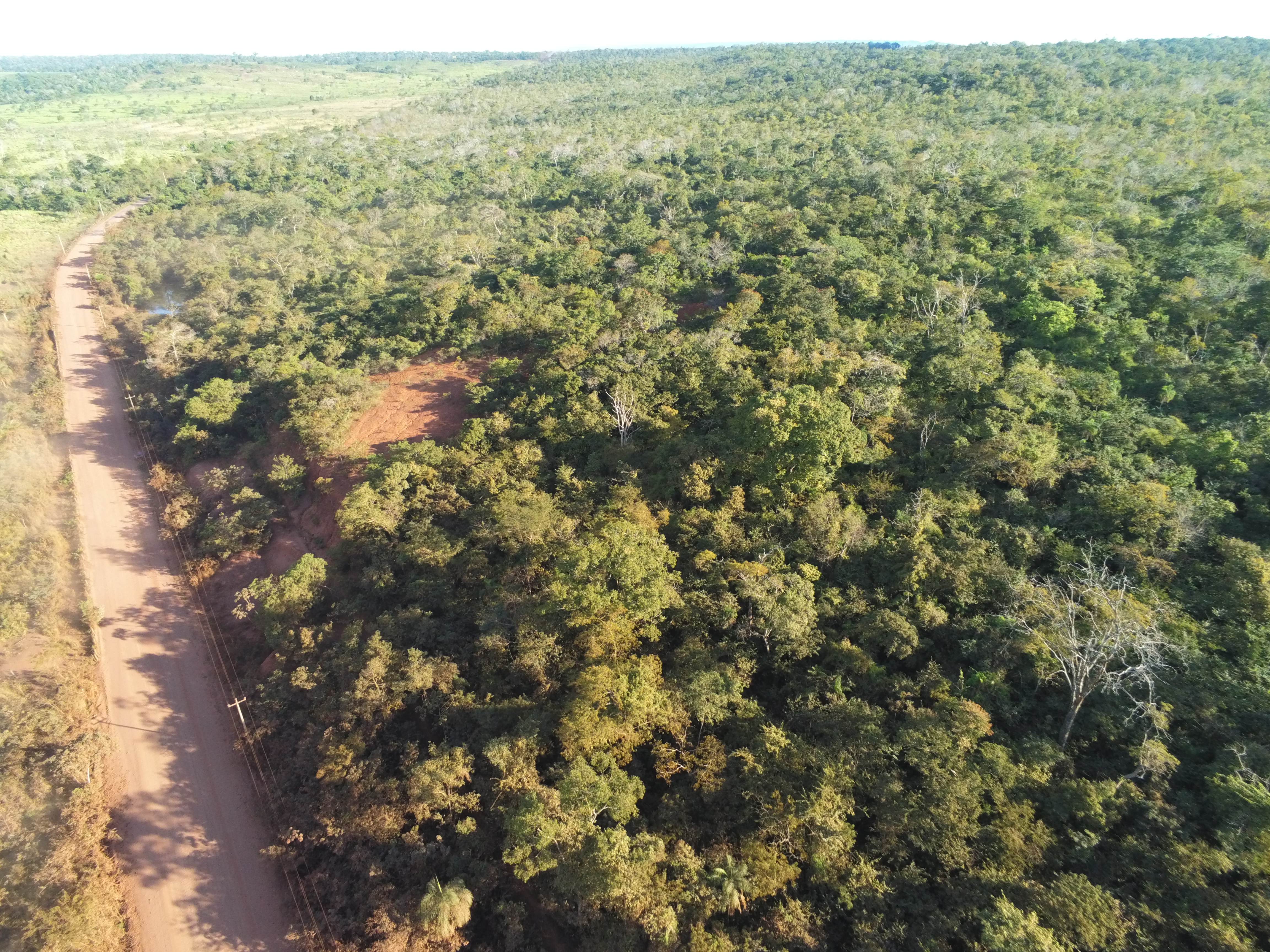
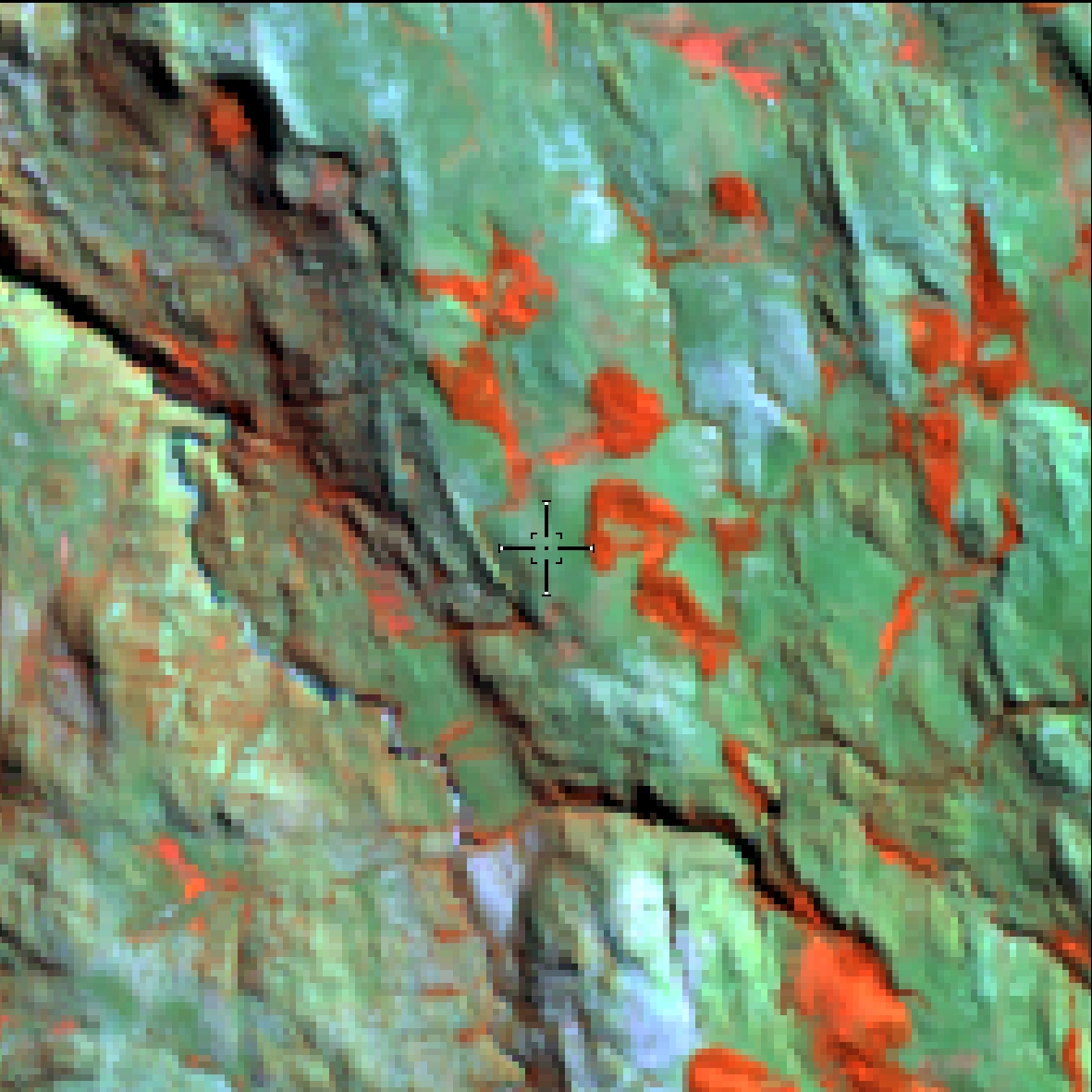
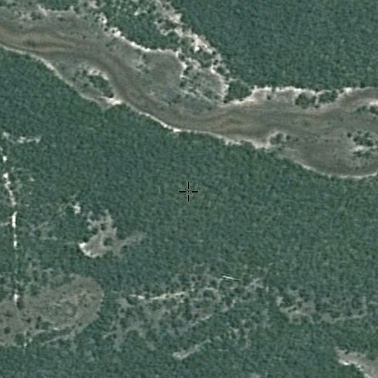
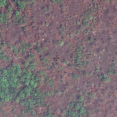
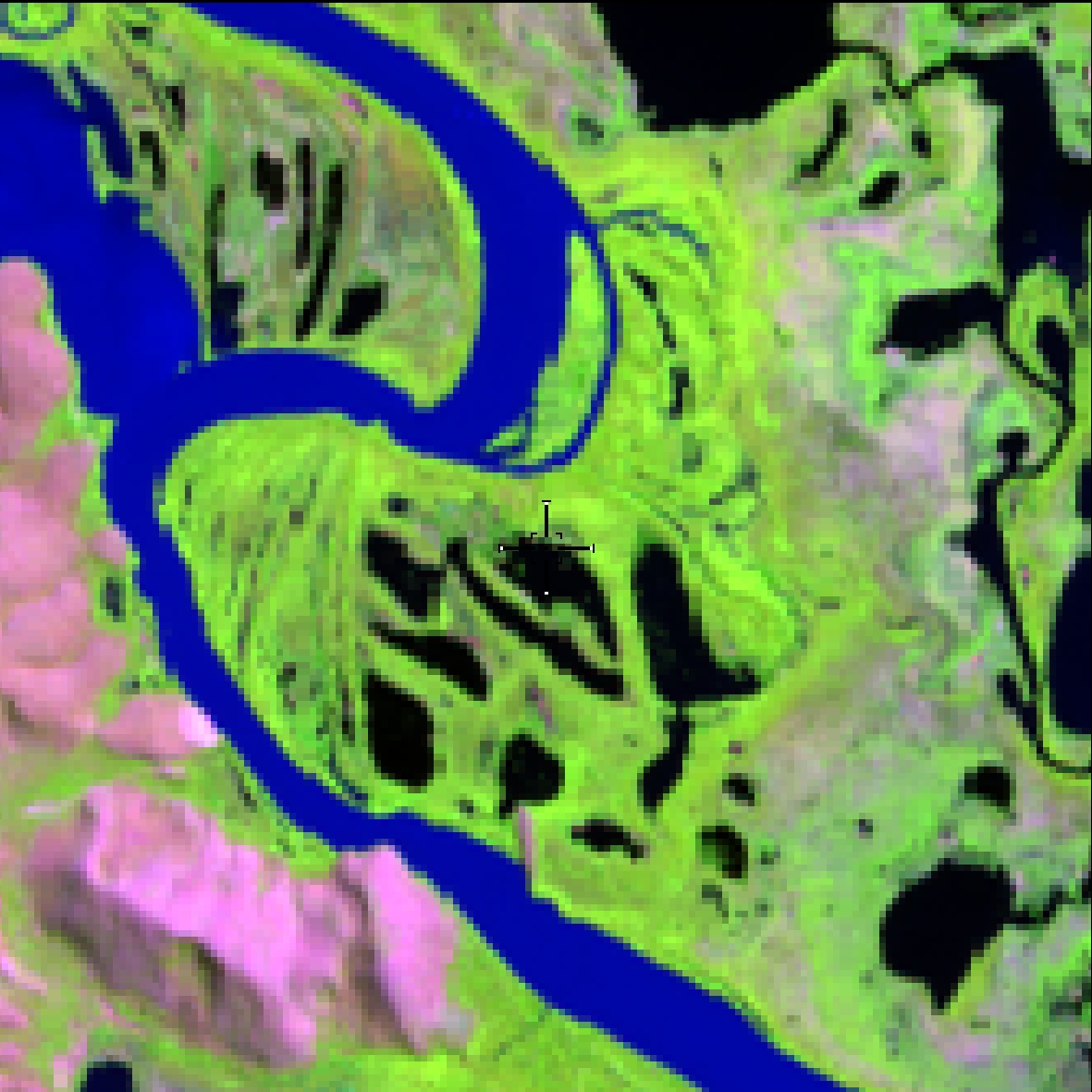
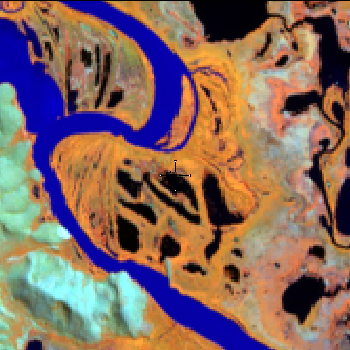
Dense Ombrophilous Forest, Evergreen Seasonal Forest, Open Ombrophilous Forest, Semi-deciduous Seasonal Forest, Deciduous Seasonal Forest, Wooded Savannah, areas that had fire or logging, forest resulting from natural successional processes, after total or partial primary vegetation suppression by anthropogenic actions or natural causes, which may have remaining trees of primary vegetation. Alluvial Open Ombrophilous Forest established along the watercourses, occurring in periodically or permanently flooded plains and terraces, where in the Amazon represent the physiognomies of igapó and lowland forests, respectively.
Forested areas,
degraded forests (burning and logging), igapó forests (forests associated with watercourses)
High roughness
Dark red (RGB 564) or light color (if for
secondary vegetation)
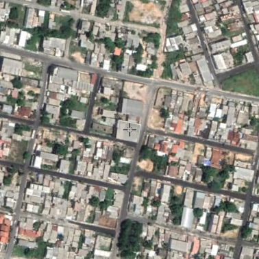
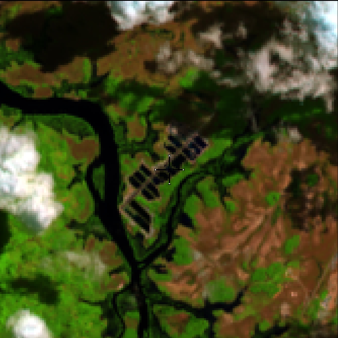
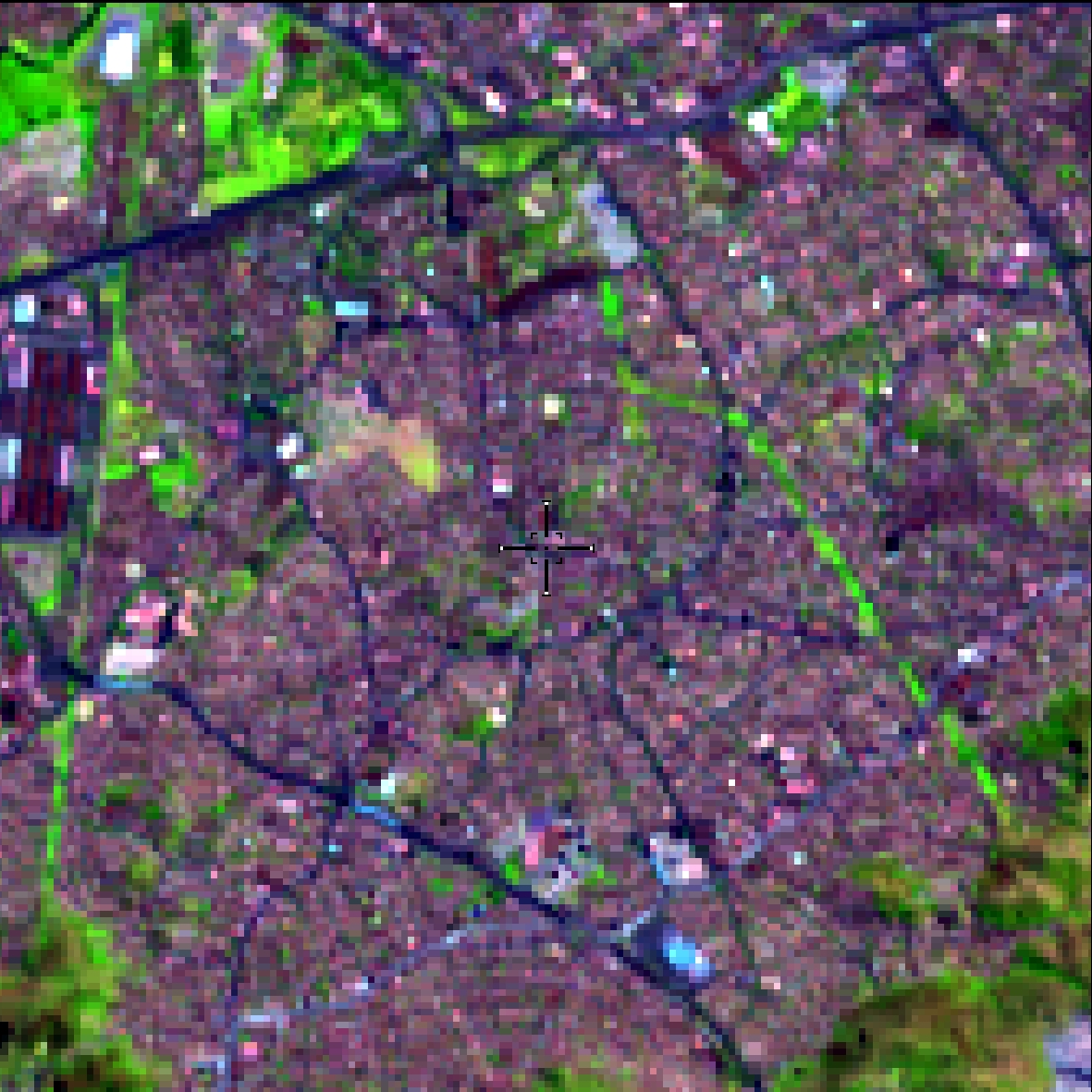
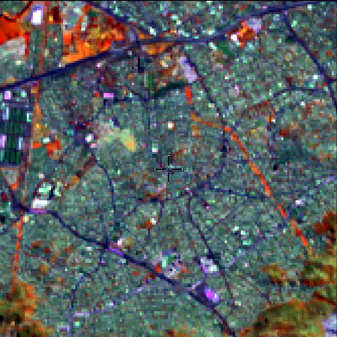
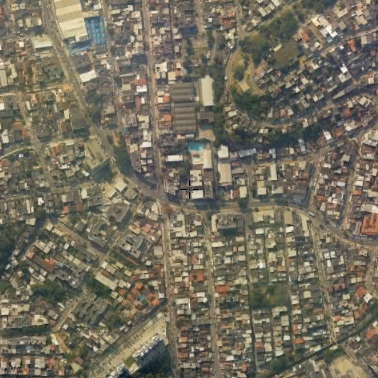
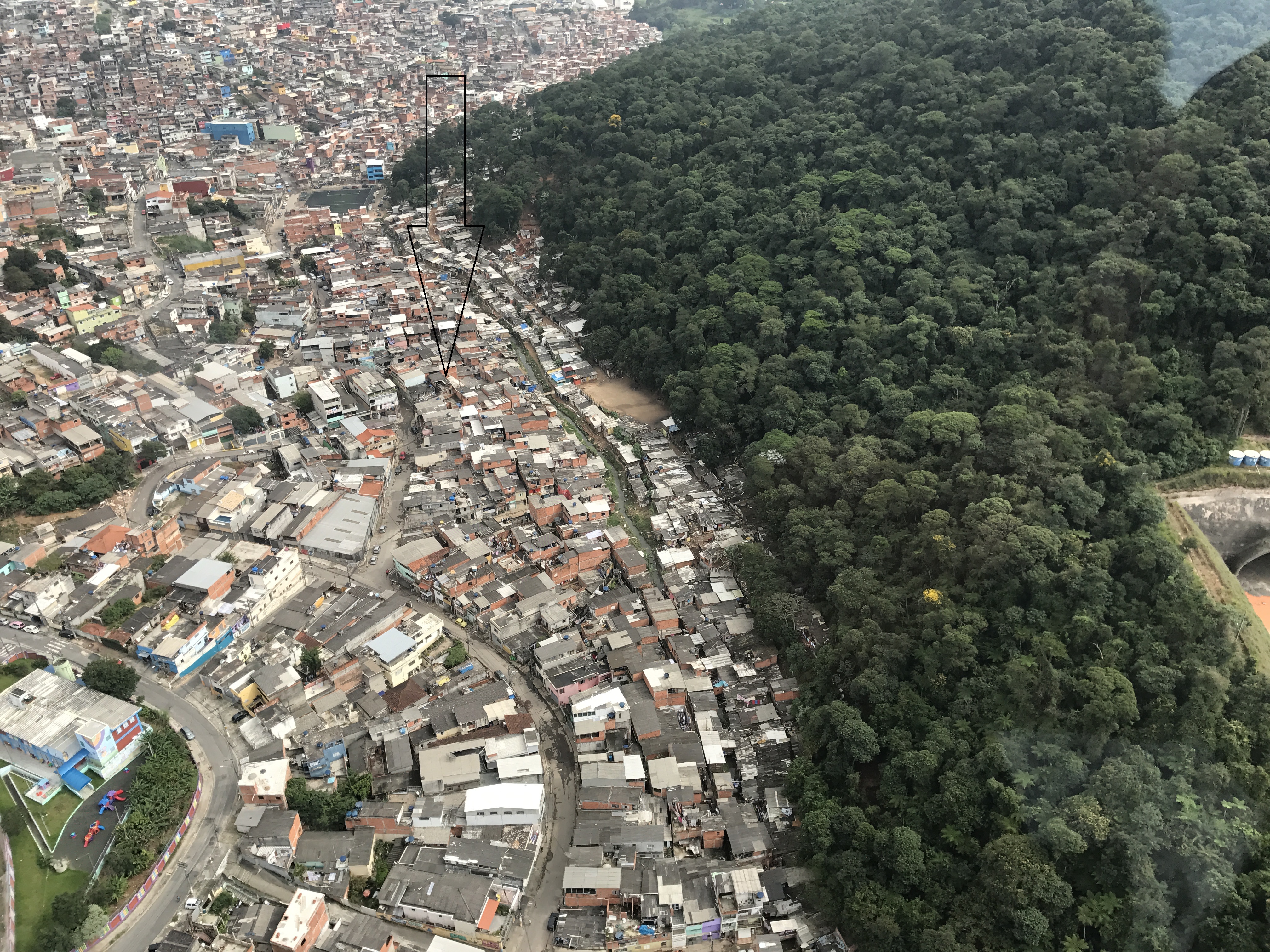
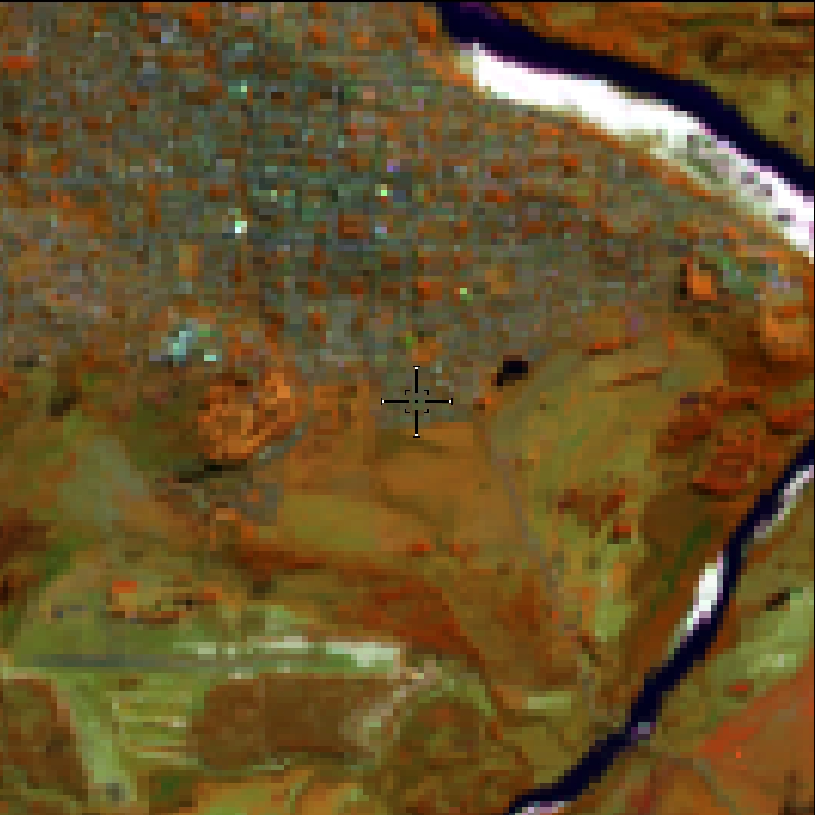
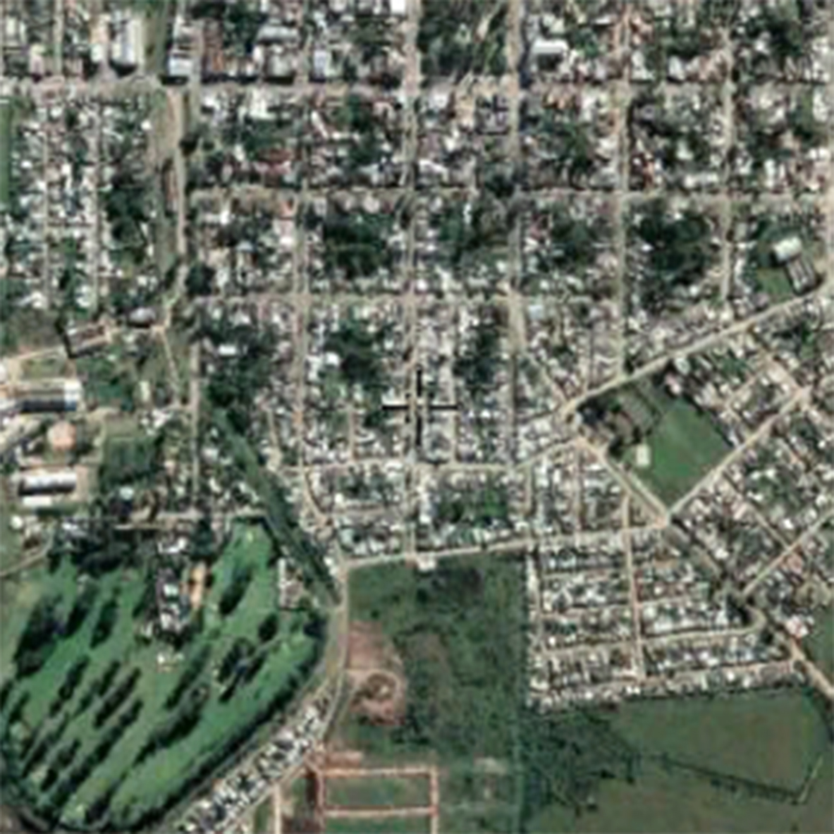
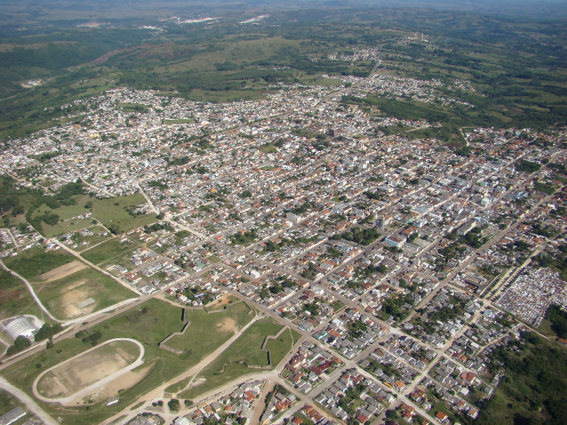
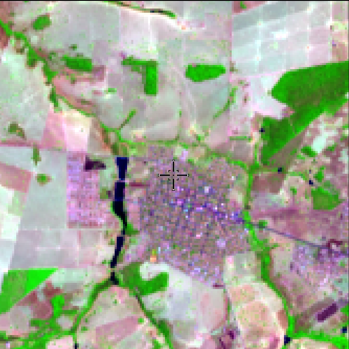
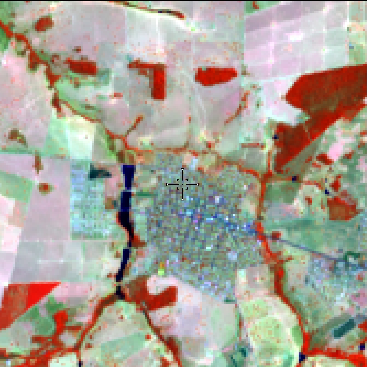
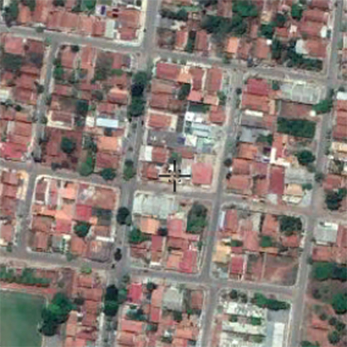
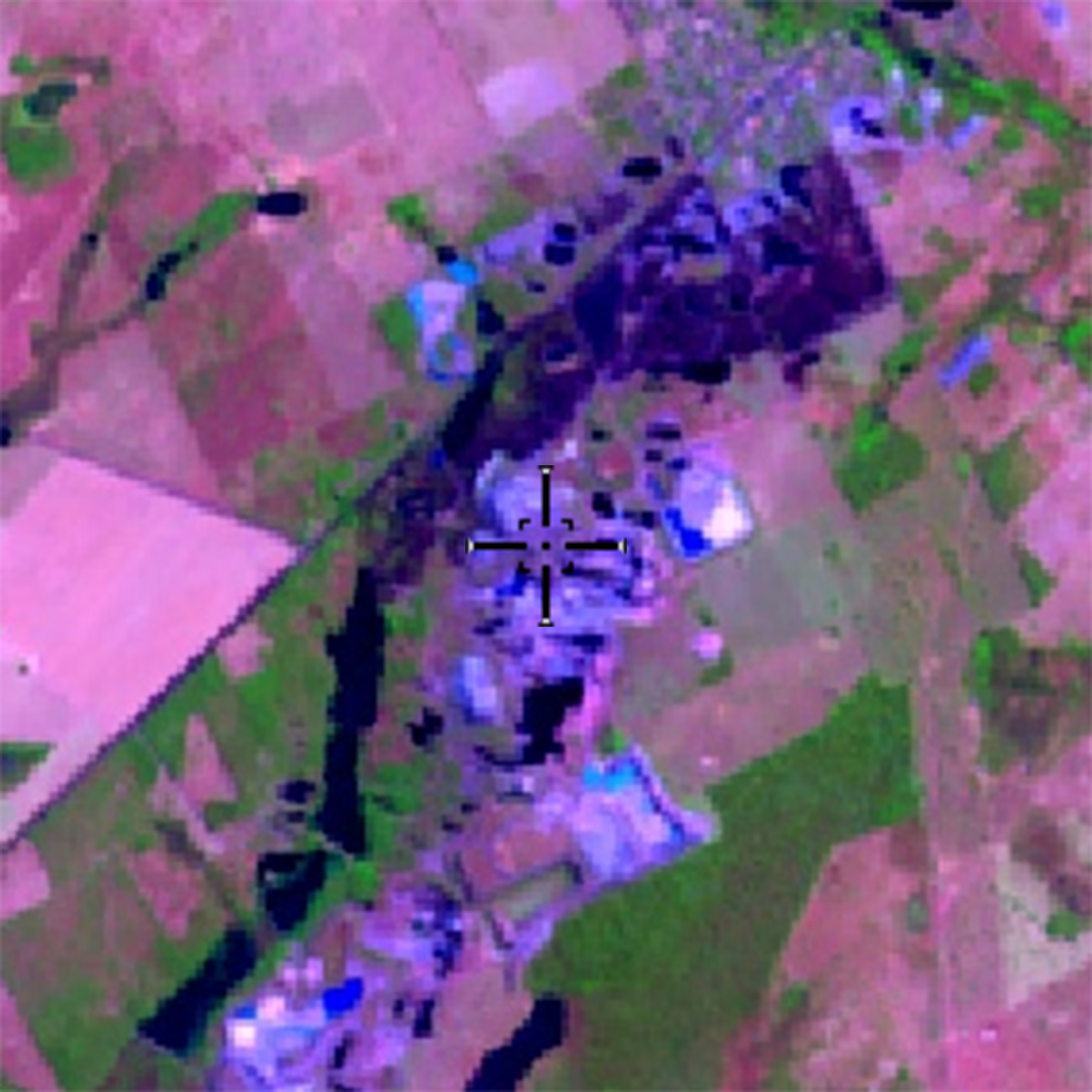
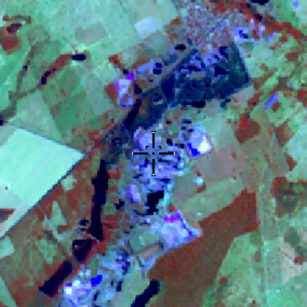
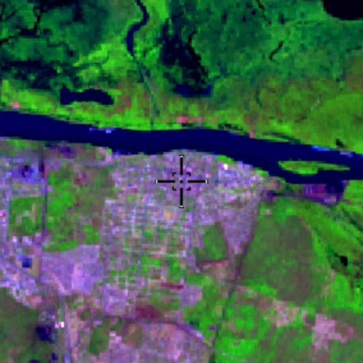
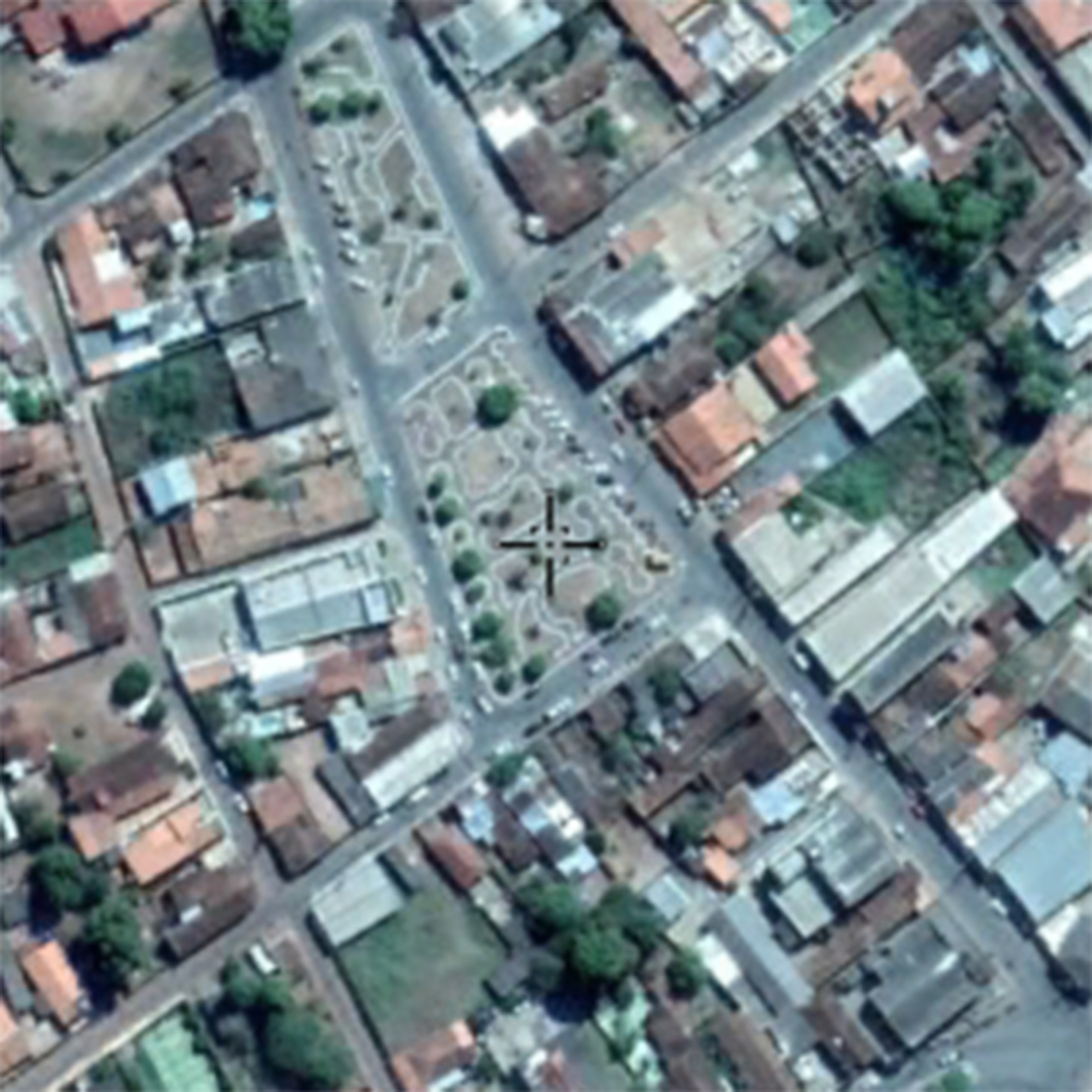
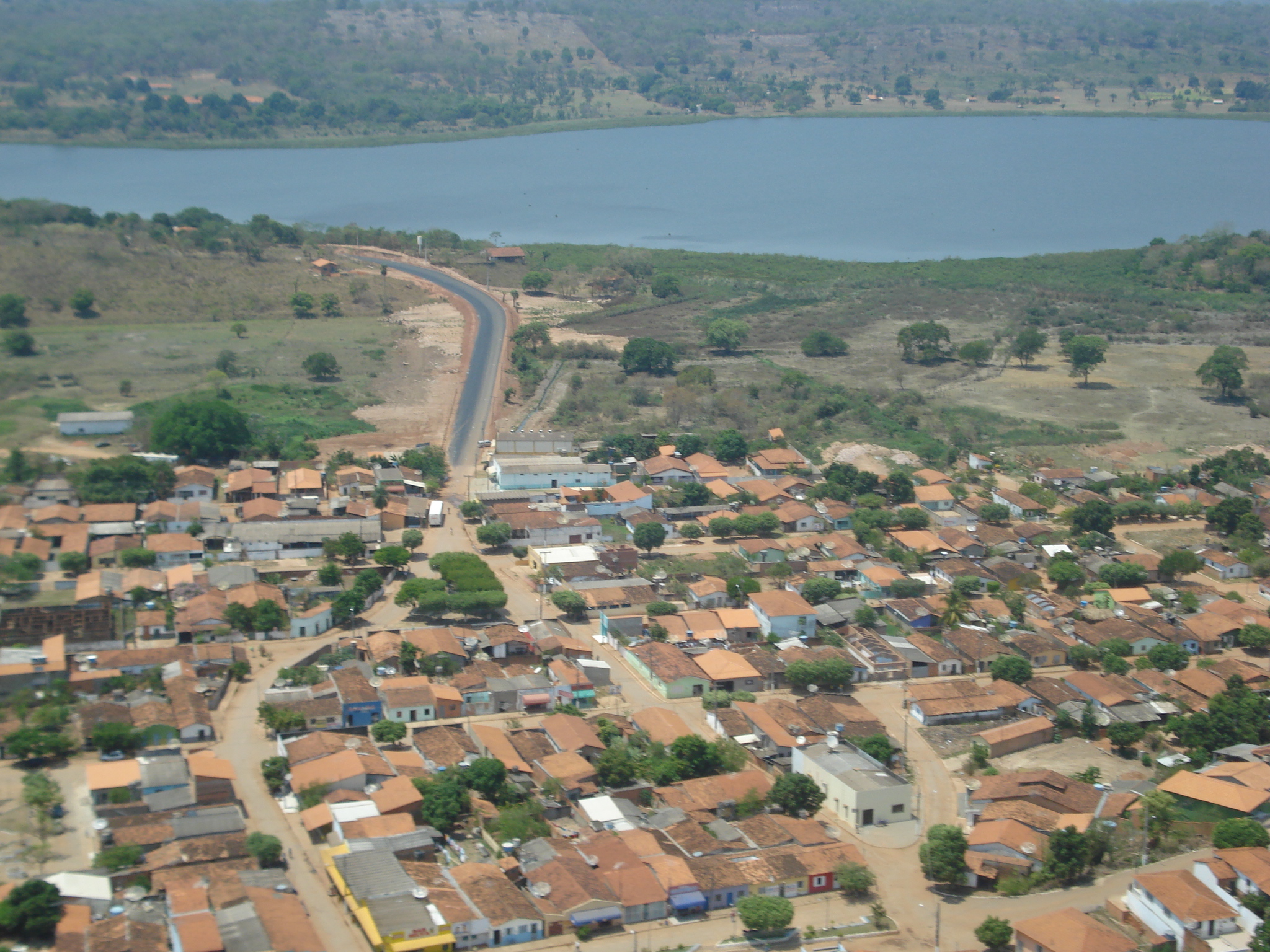
Urban areas with predominance of non-vegetated surfaces, including roads, highways and constructions.
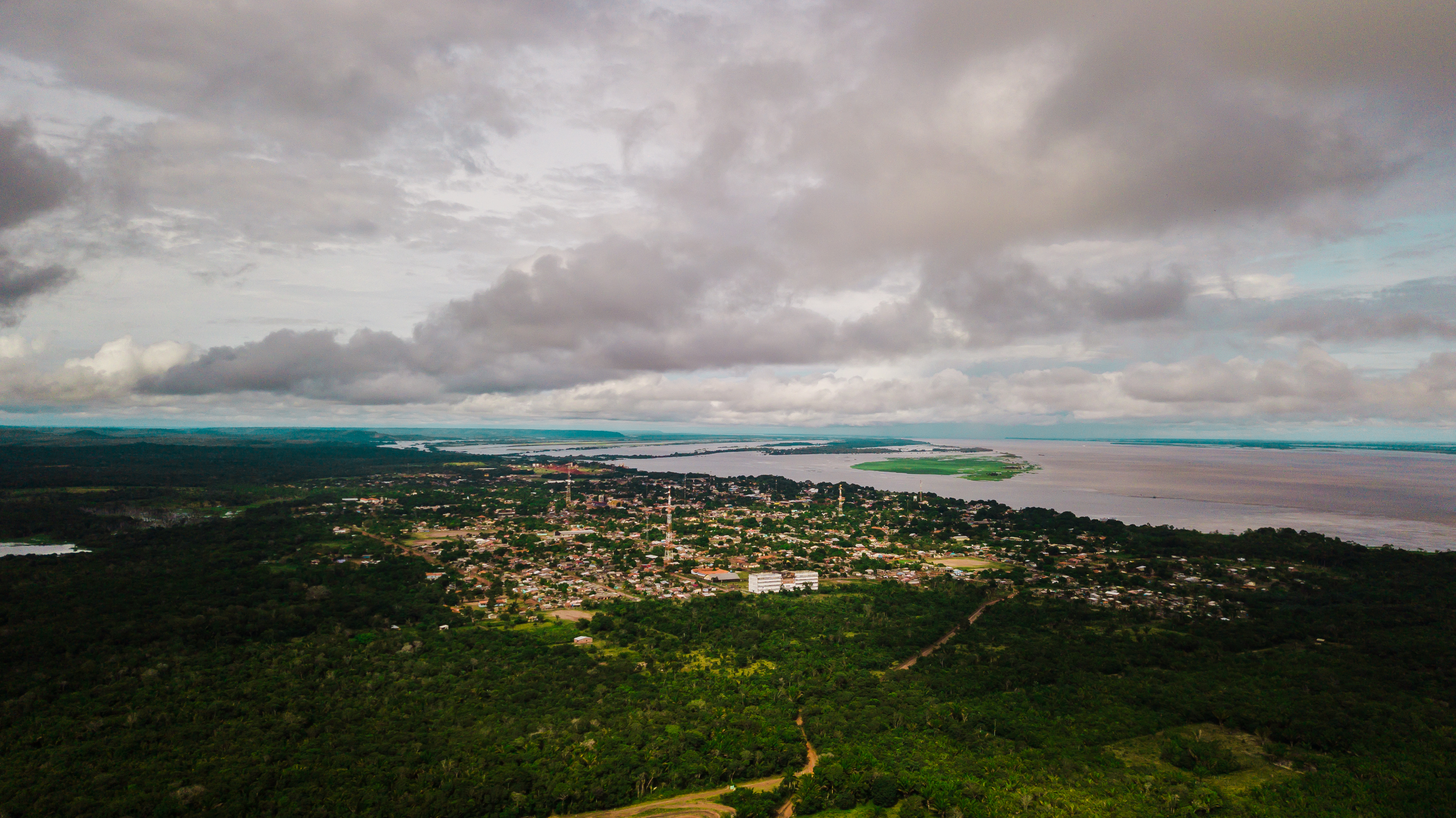
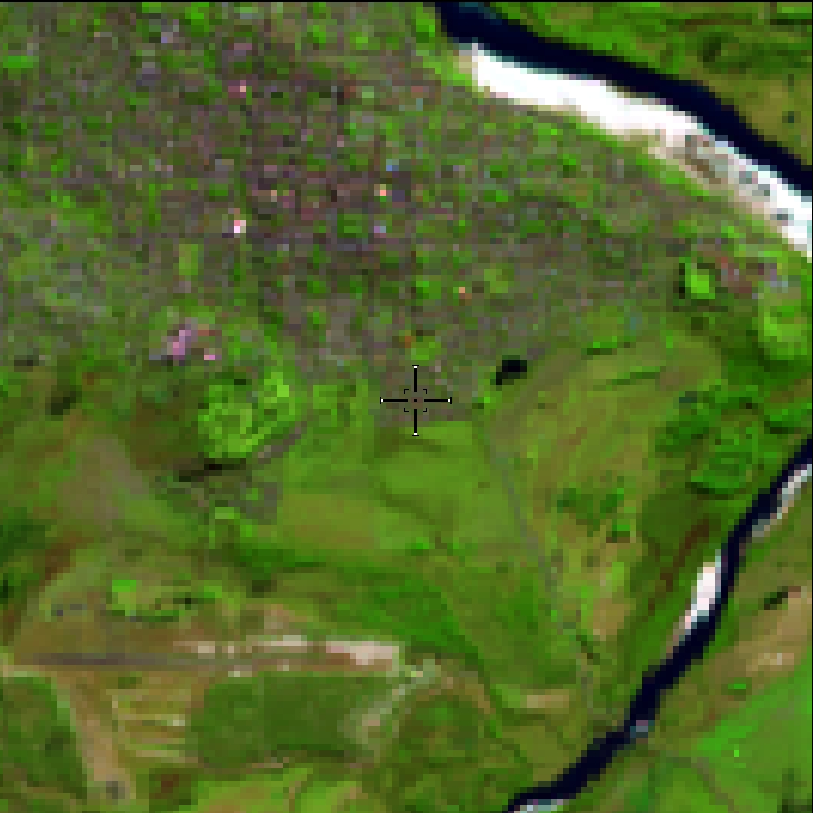
Urban areas (larger cities and towns)
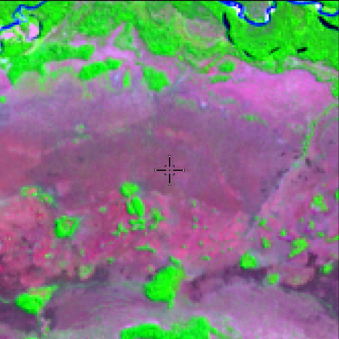
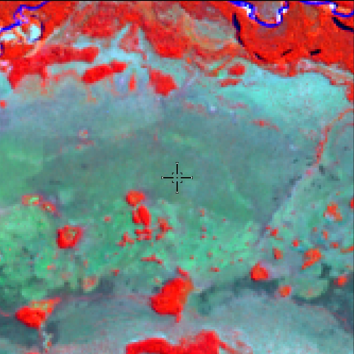
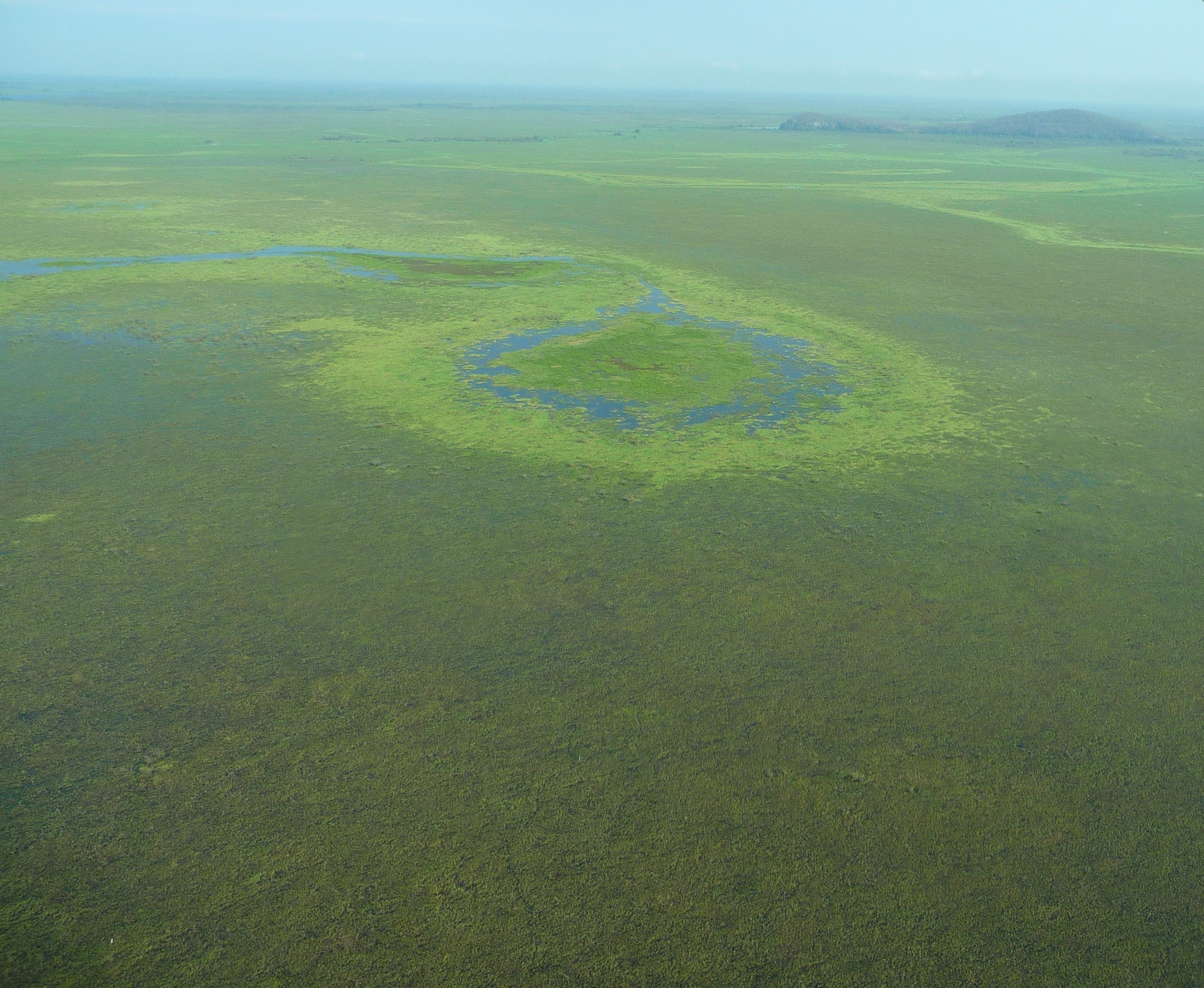
Dense and Evergreen Forest formations, often flooded by tide and associated with the mangrove coastal ecosystem.
Wetlands on the coast
Brighter red with some green areas in the
middle (RGB 564).
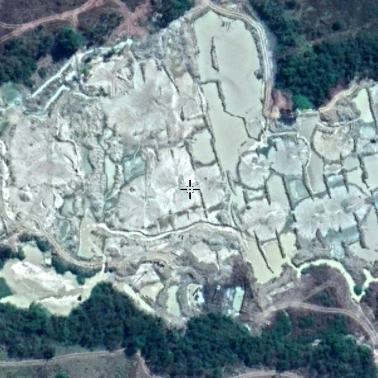
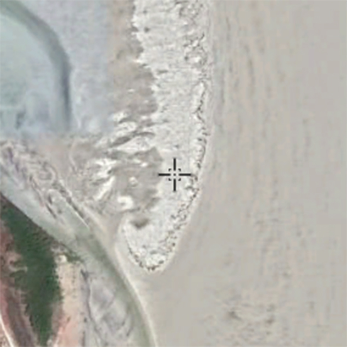
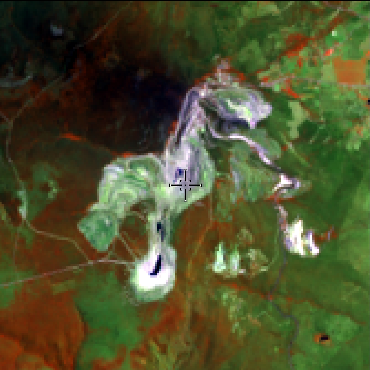
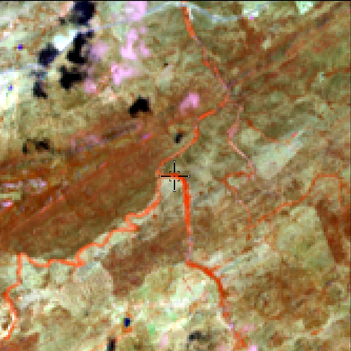
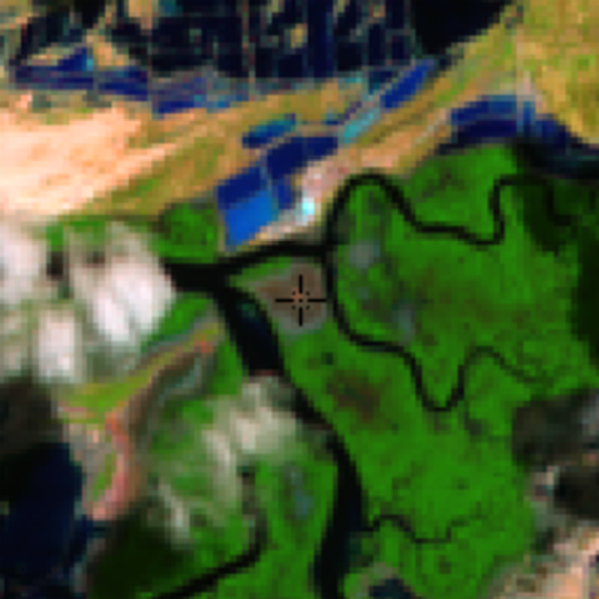
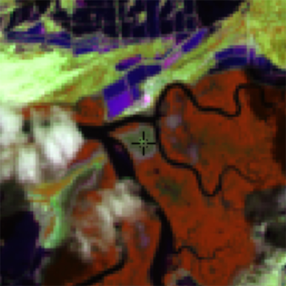
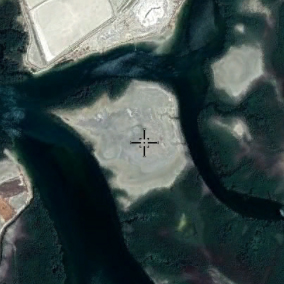
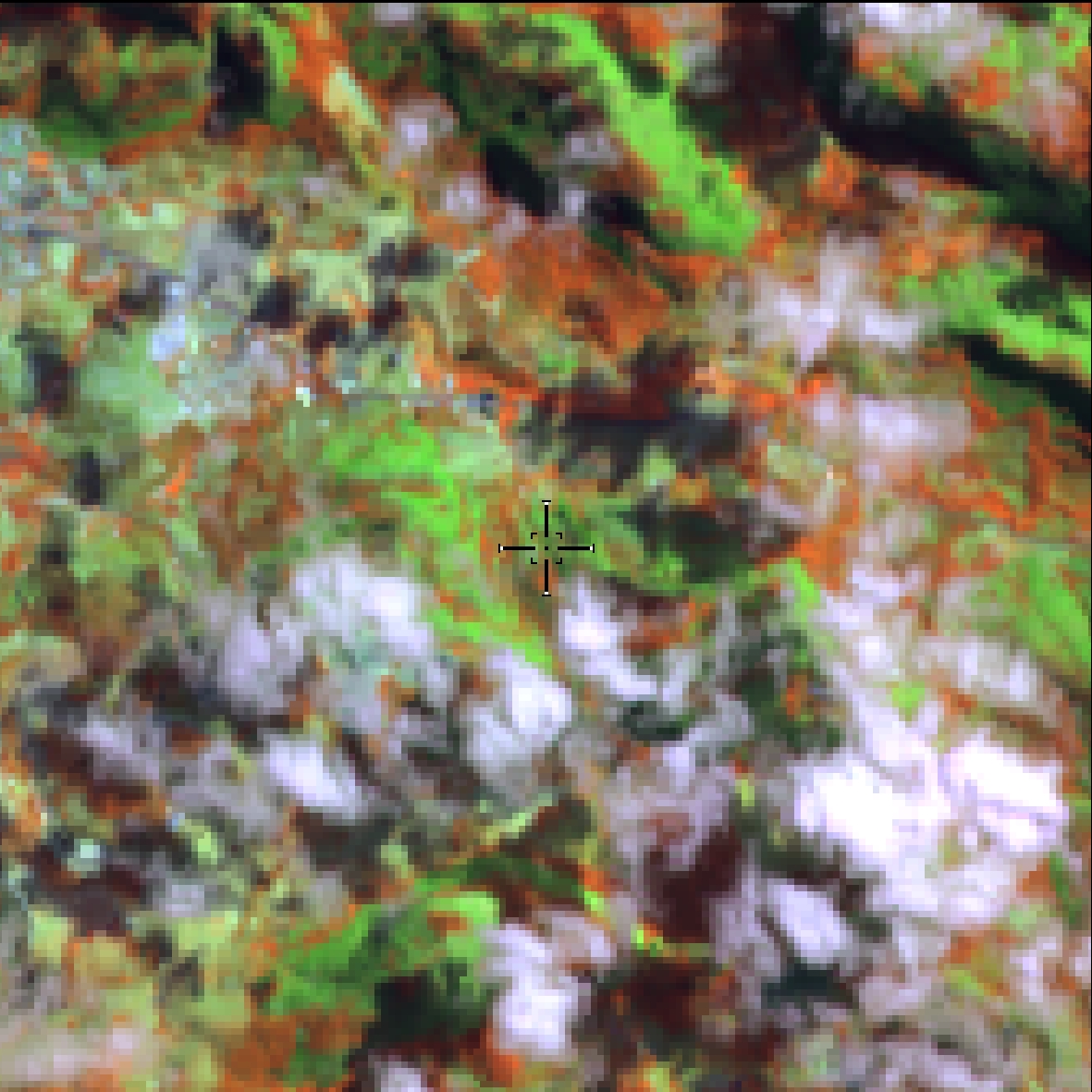
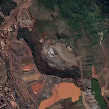
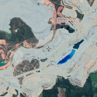
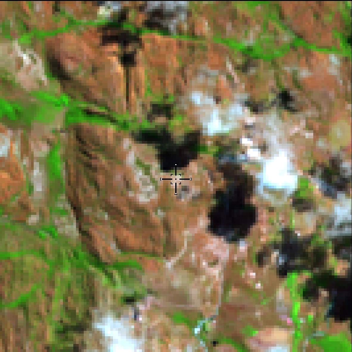
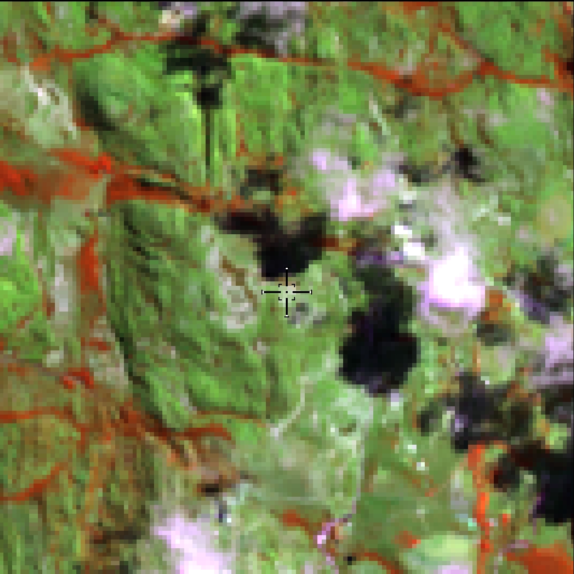
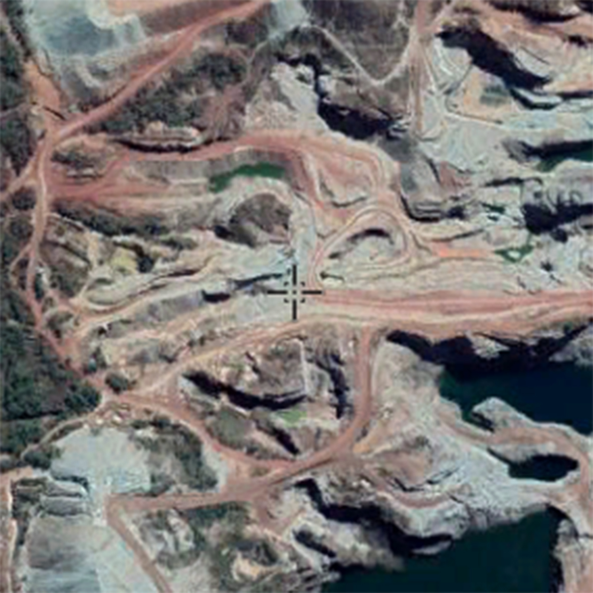
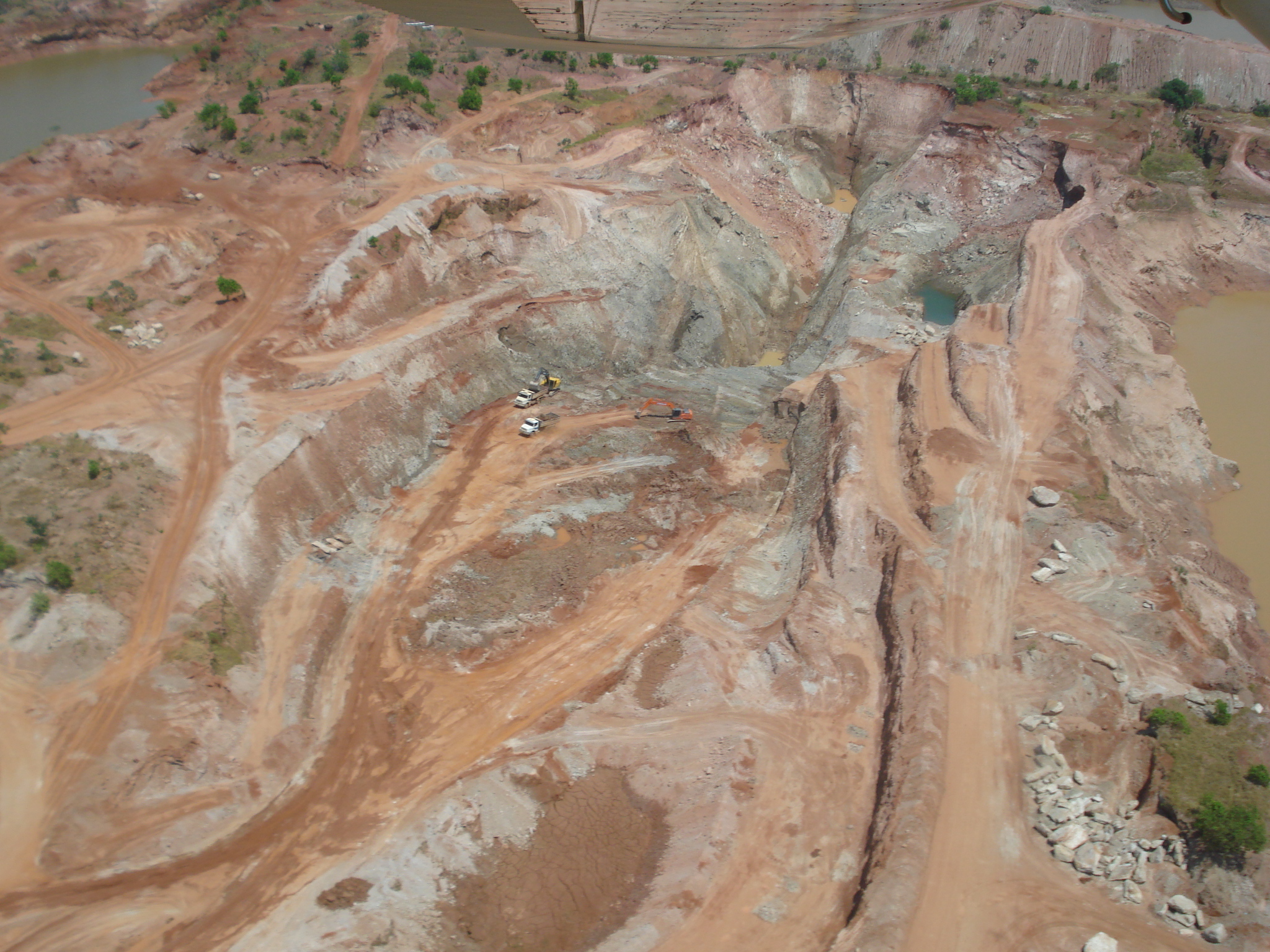
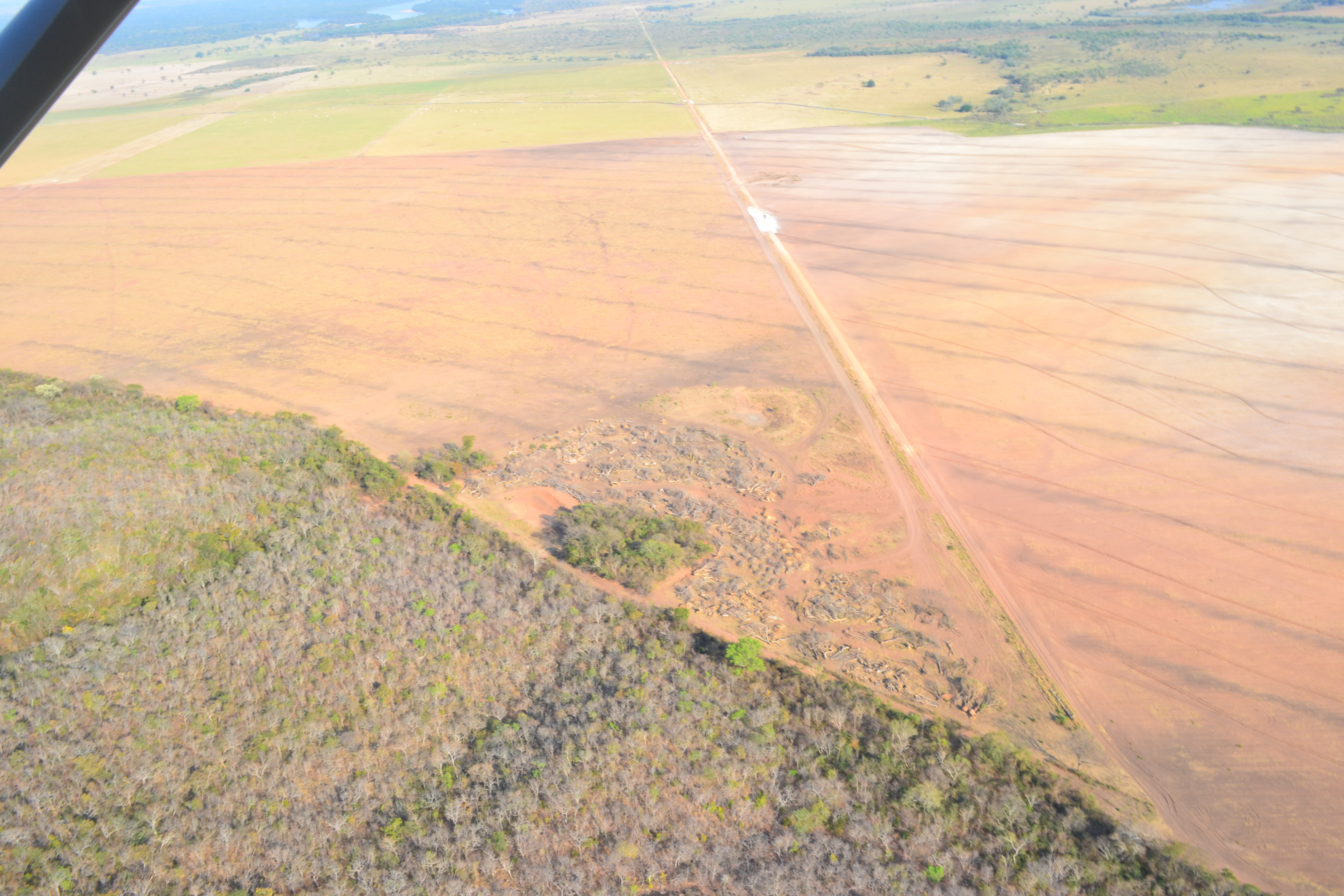
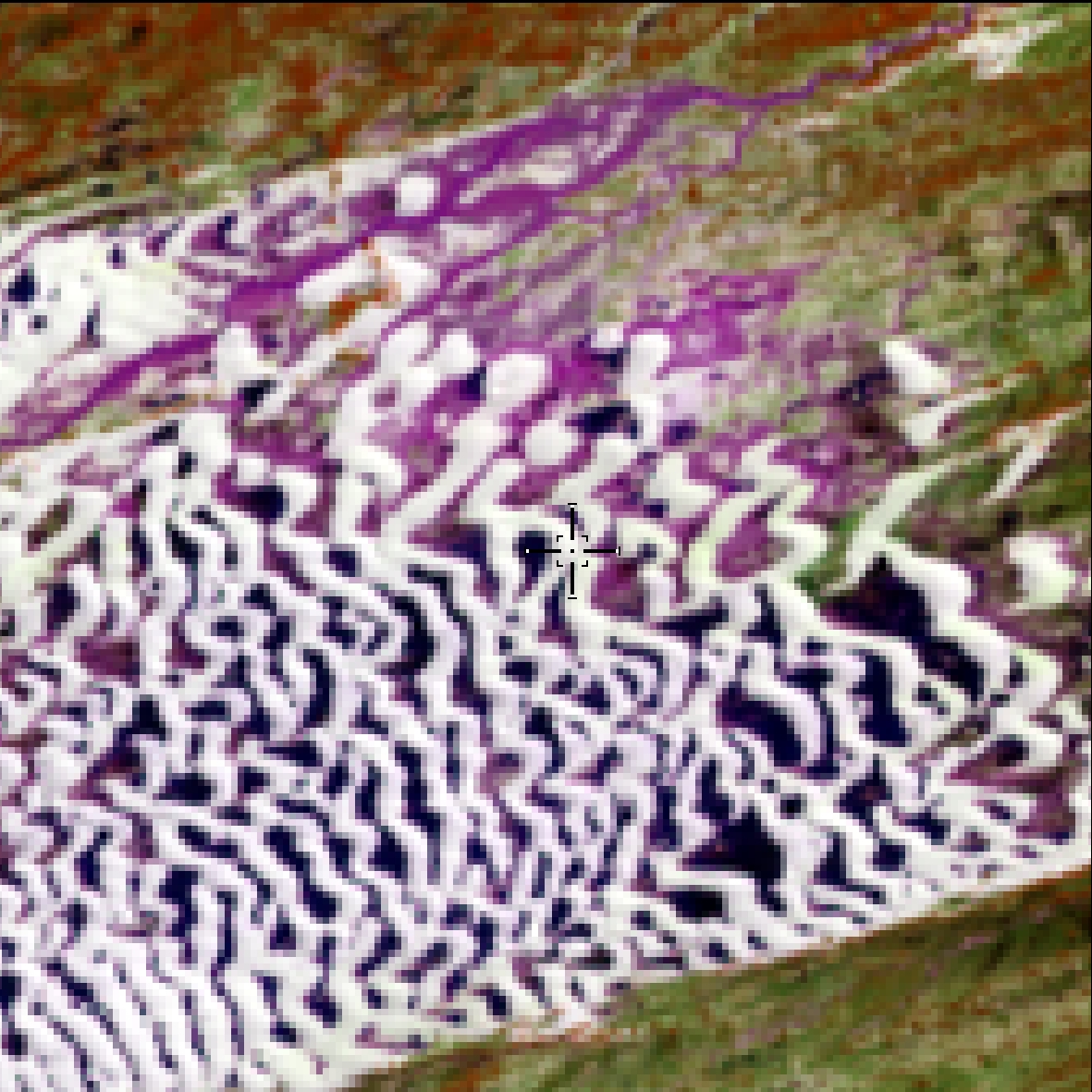
Areas where clear signs of extensive mineral extractions are present, show clear exposure of the soil by the action of heavy machinery. Only regions surrounding the AhkBrasilien (AHK) and the CPRM digital reference data were considered.
Mineral extraction area (does not include
tailings dams)
Areas with mining concentrations such as
Itaitiuba (PA) and Tapajós (PA)
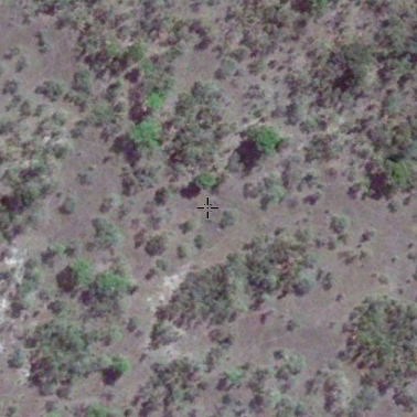
Savanna, Park Savana (Marajó), Steppe-Savana (Roraima), Grassland Savanna, Campinarana, for regions outside the Amazon/Cerrado Ecotone. And for regions within the Amazon/Cerrado Ecotone, predominance of herbaceous strata.
Savannah and countryside formations
(“campinaranas” and field vegetation)
Lowland and periodically flooded areas
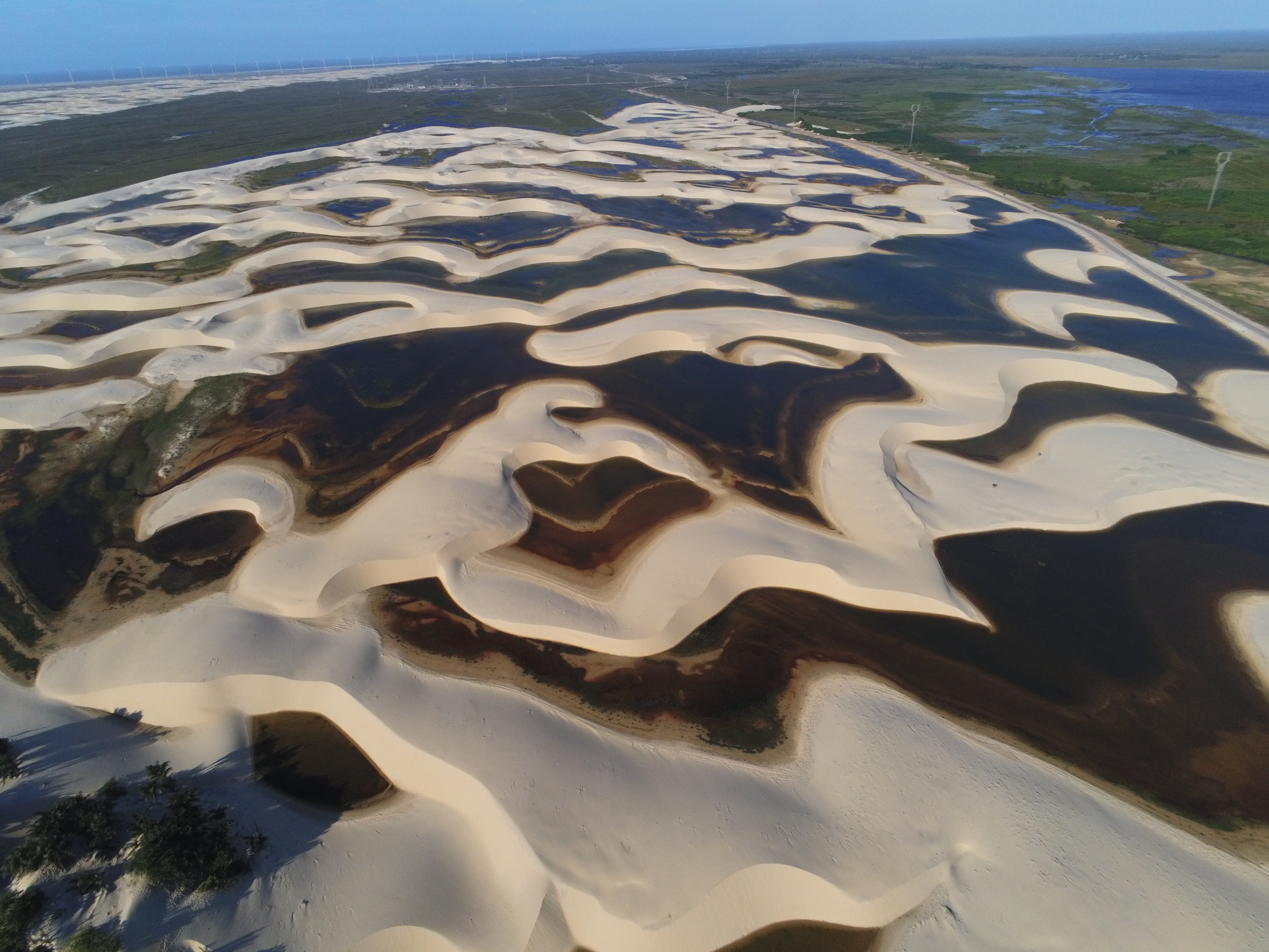
Vegetated dunes
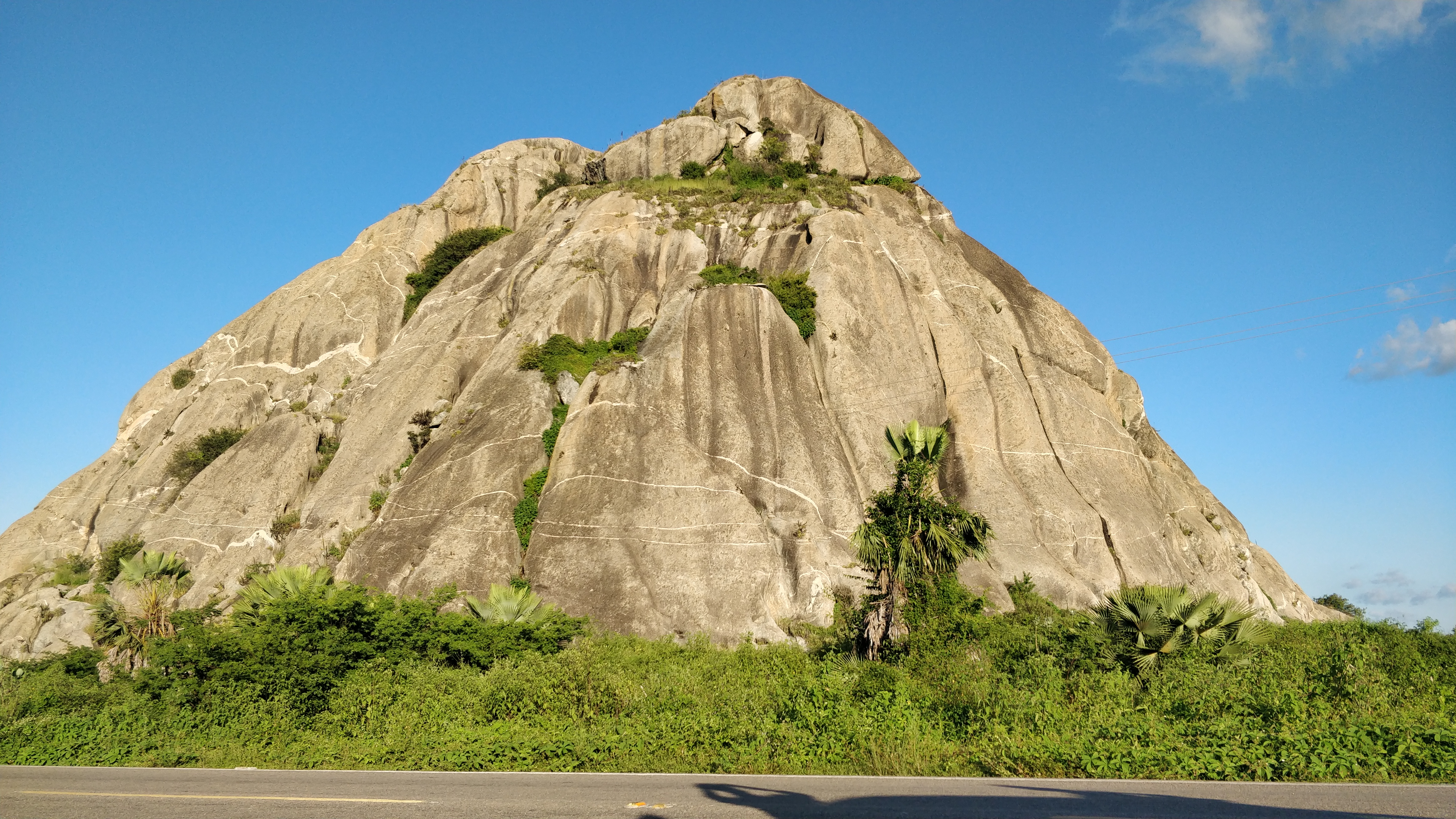
Outcrops
Non-permeable surface areas (infrastructure, urban expansion or mining) not mapped into their classes.
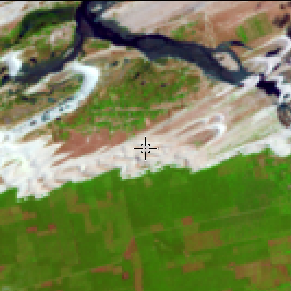
Sandbanks and river beaches.
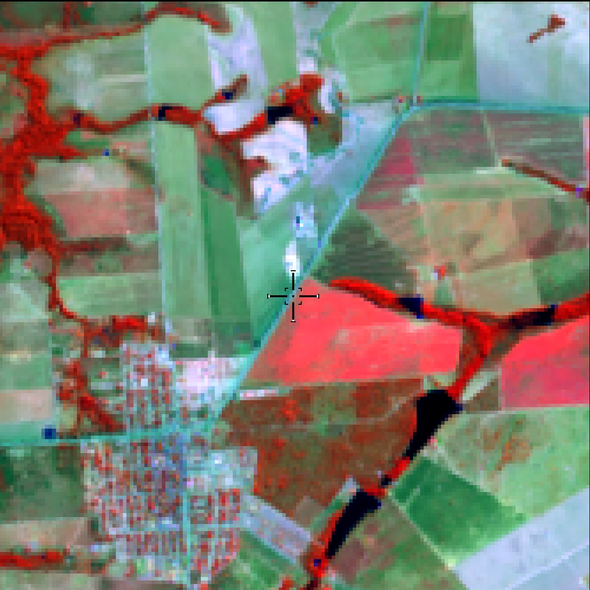
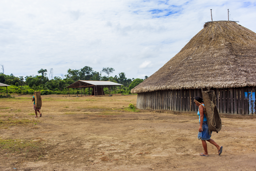
Settlement areas, farms, indigenous villages
and riverside communities.
Industrial complexes in isolated areas.
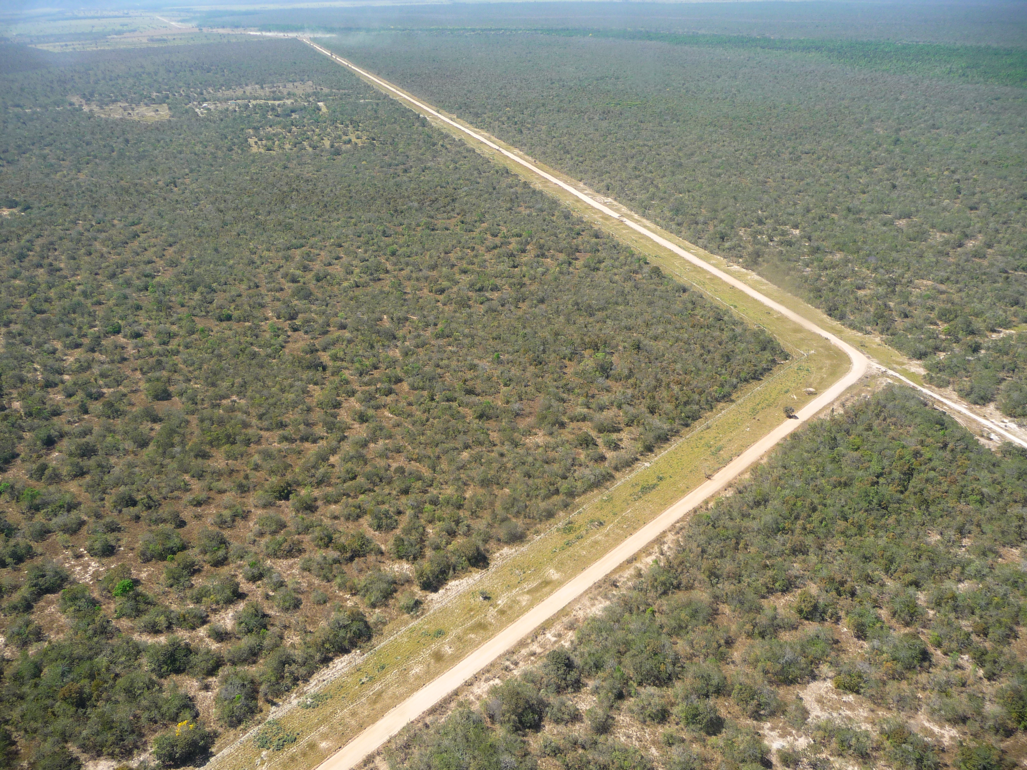
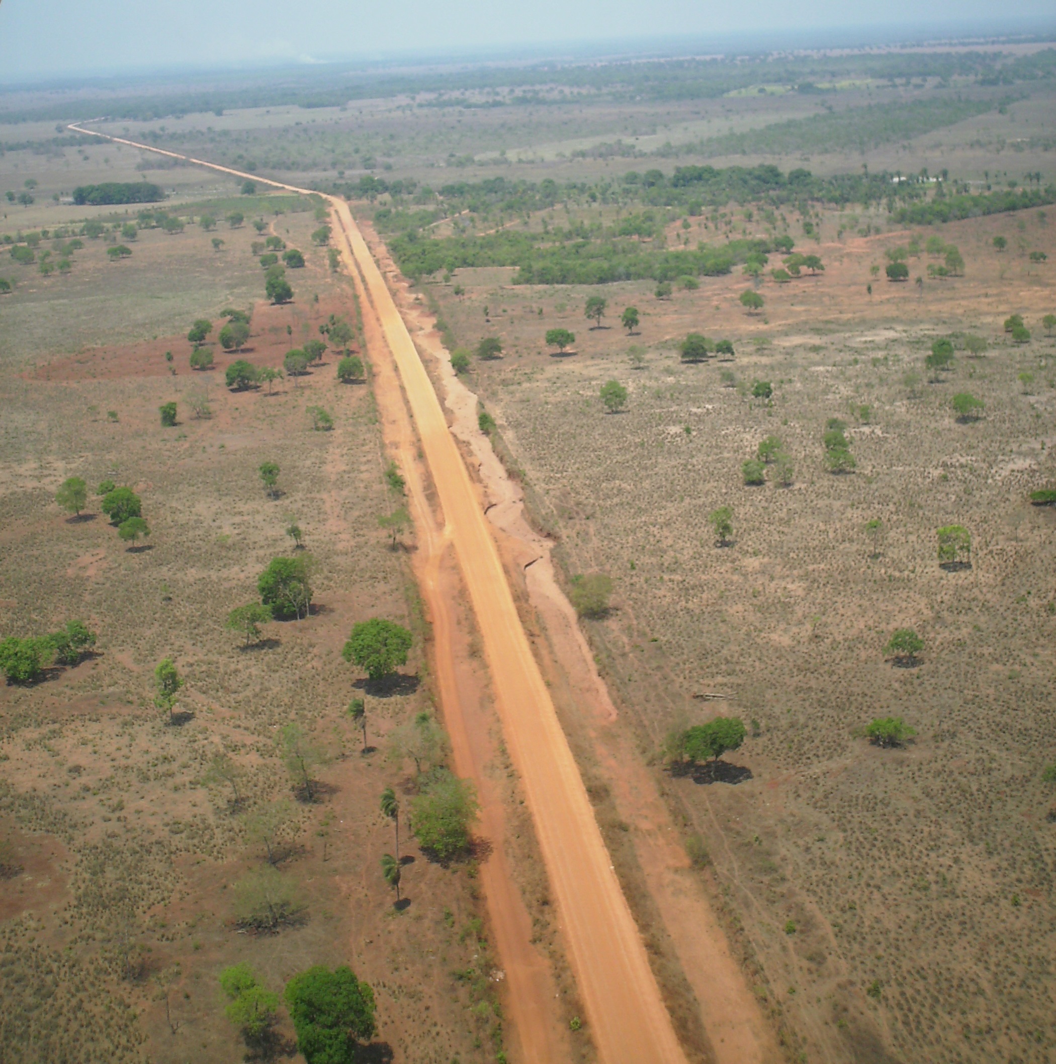
Paved highways.
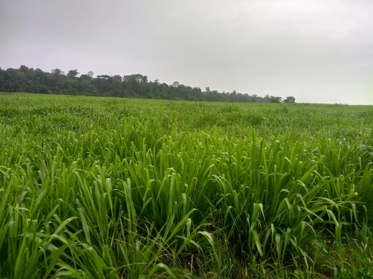
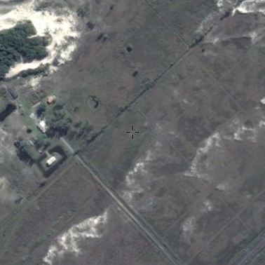
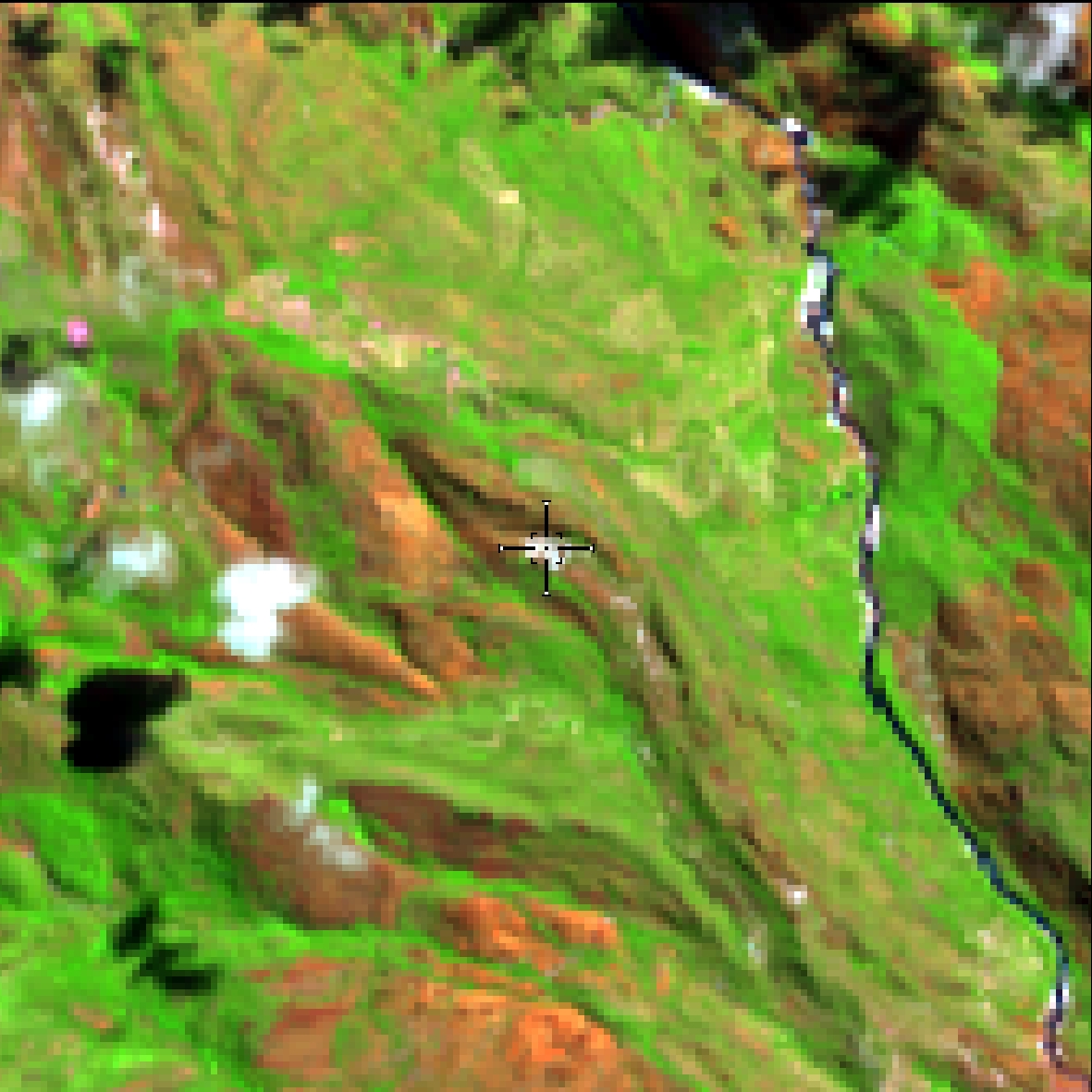
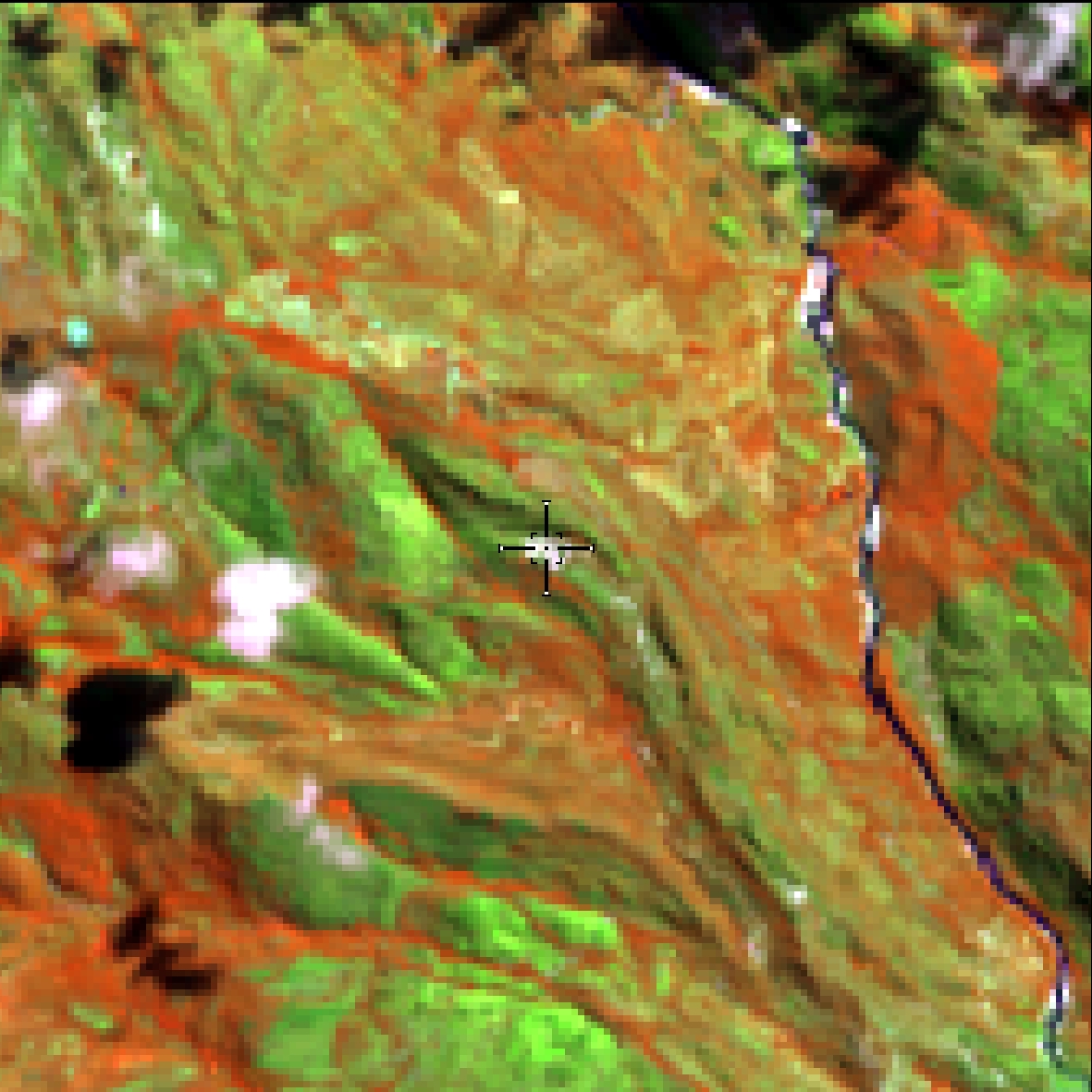
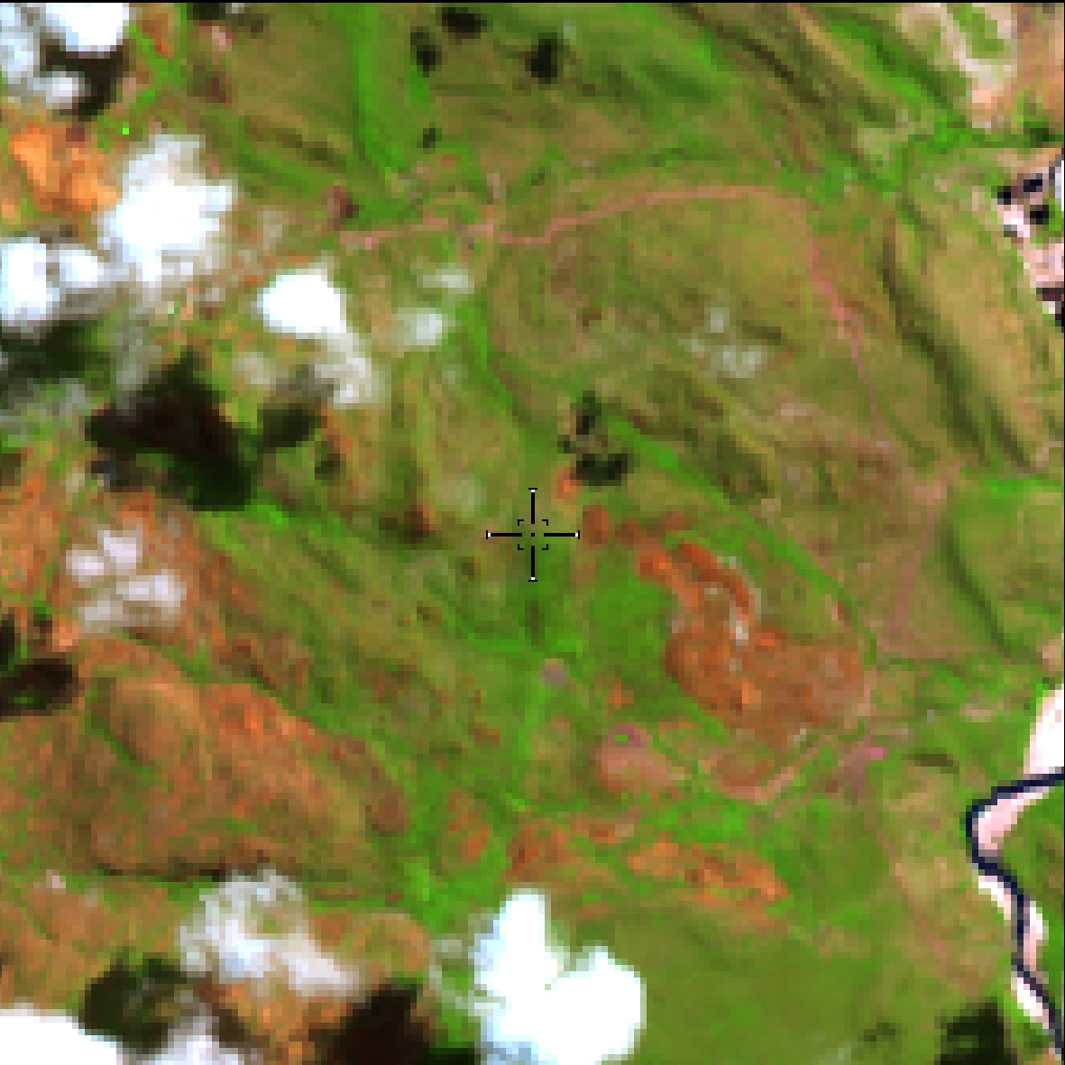
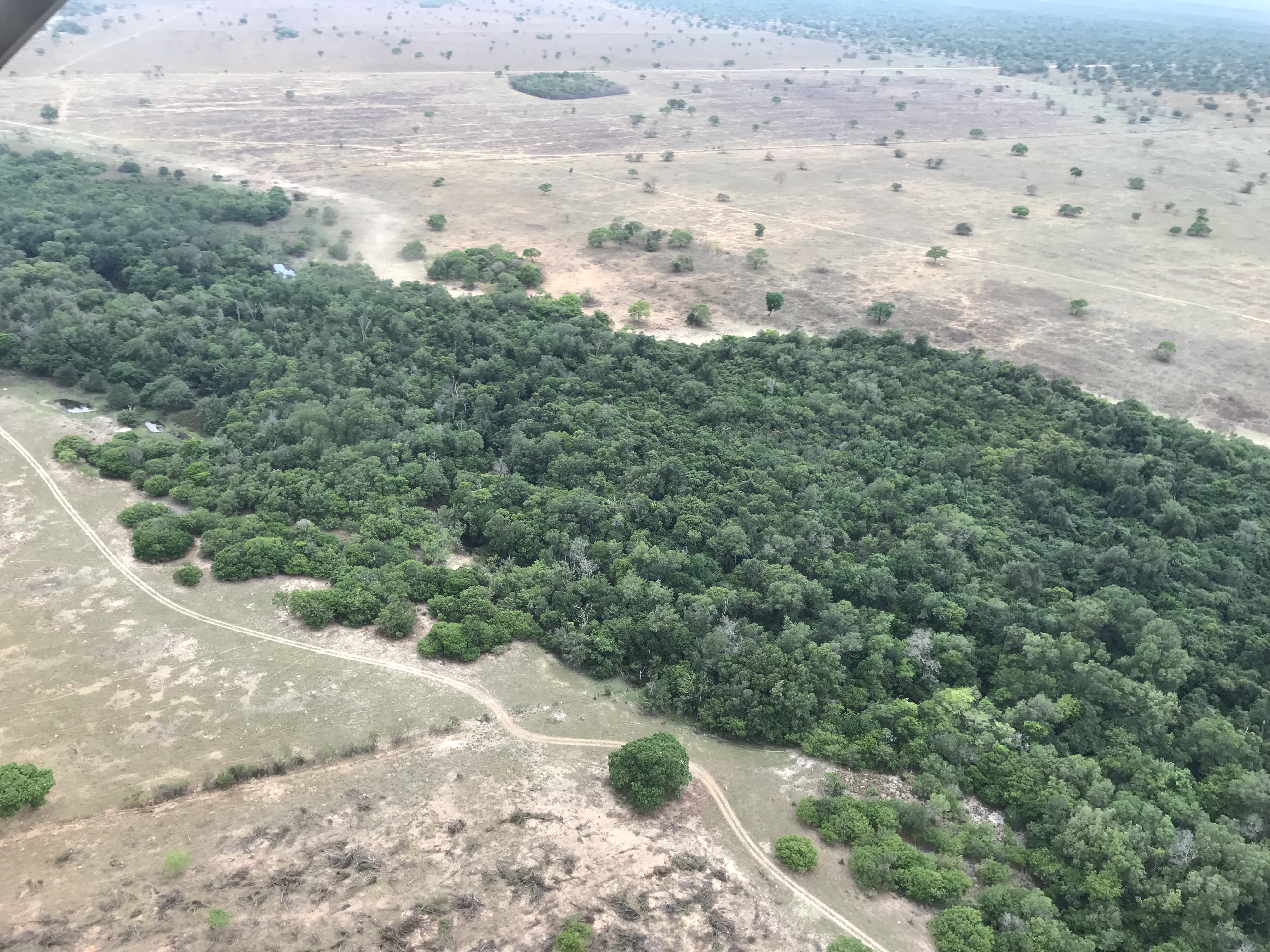
Pasture area, predominantly planted, used by livestock activity. Areas of natural pasture are predominantly classified as grassland formation that may or may not be grazed.
There are differences between degraded
pasture (red, medium and more homogeneous roughness - RGB 564) and secondary vegetation (red and
high roughness - RGB 564).
The color can vary from bluish and reddish
tones (predominantly in the rainy season).
Medium roughness
Occurs in Roraima state and on the island of
Marajó (PA).
Countryside areas (‘campinaranas’ and field
vegetation) with management (proximity to urban areas, highways, geometric shapes, anthropic
fires)
The period of reforms is longer in relation
to other biomes, in view of the high potential for agronomic degradation of these areas.
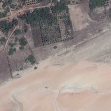
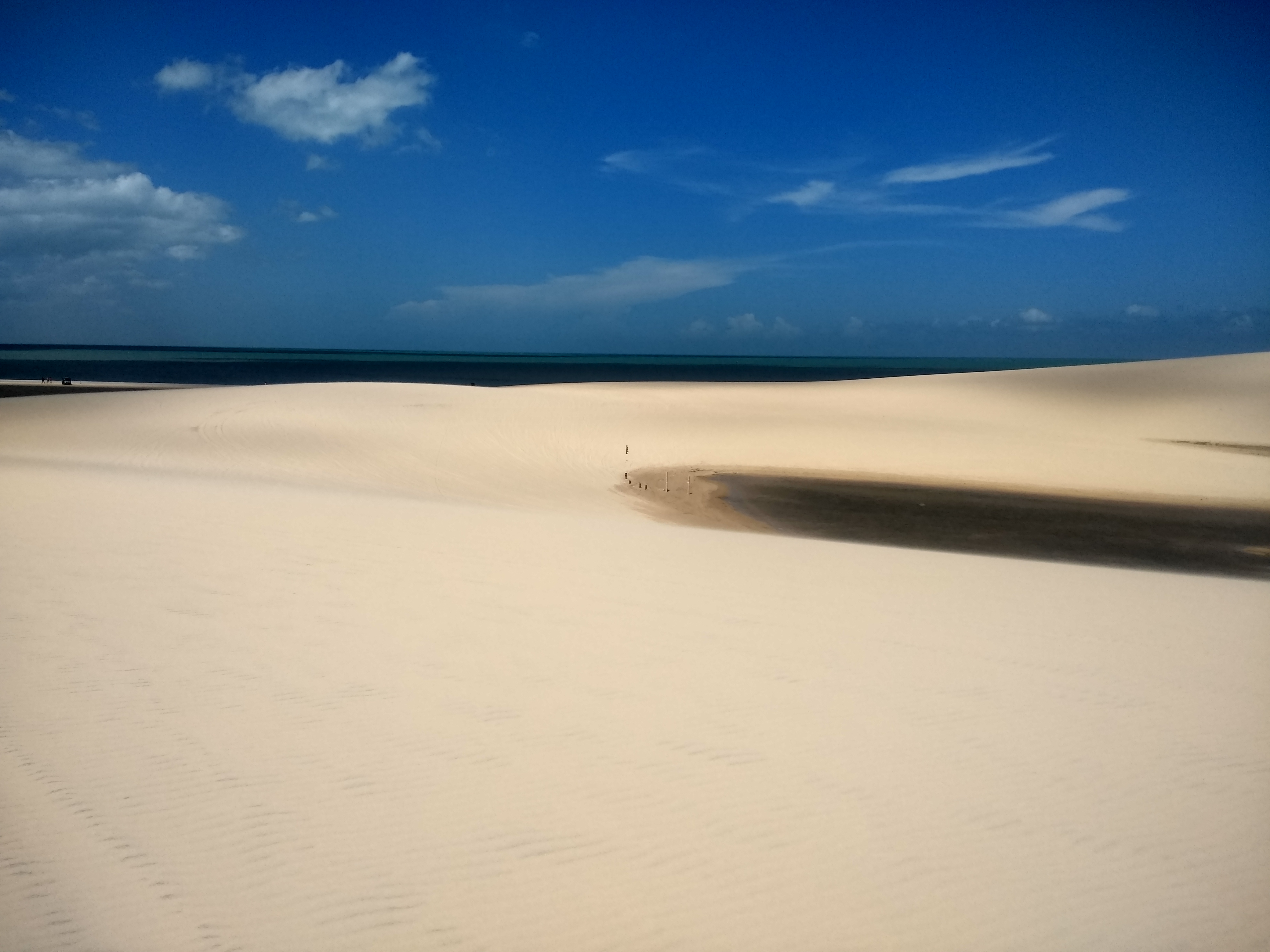
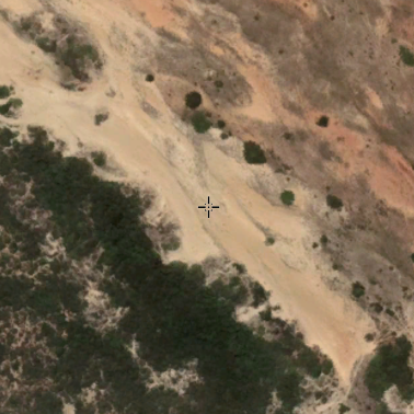
Sandy areas, with bright white color, where there is no vegetation predominance of any kind.
Sea beaches
Sea dunes
Areas predominantly occupied with temporary crops and, in some regions (mainly for the Northeast region) with the presence of perennial crops.
Yellow or orange color (rainy season) and green, blue or white (dry season / straw)
Low roughness (temporary crop)
Geometric shapes (rectangular or circular) )
Occurrence of peak cultivation in the rainy season (with the exception of pivots)
Consider agriculture for 2 years of interspersed pastures
Smaller than planted forest (perennial culture)
Greater spacing between cultivation lines (perennial culture)
Light red (low size) or dark (high size) / orange (coffee)
Homogeneous texture (relationship with low species diversity)
Sandy areas, with bright white color, where there is no vegetation predominance of any kind.
Sandy deposits on the coast
White color
Homogeneous texture
May appear with curved shapes (due to wind action) and associated with shadows
In the São Francisco River of this class
Native and arboreal vegetation with a predominance of continuous canopy - Savanna-Estépica Florestada, Seasonal Semi-Deciduous and Deciduous Forest.
Continuous canopy
Rough texture
Typically occur next to drainage (riparian forests) and on wet slopes south of hills and hillsides
Dark or light red color (in areas of busy terrain, due to the shading of the slopes, as it presents a color closer to dark green - RGB 564)
Valleys with dense vegetation
Vegetation type with predominance of herbaceous species (Park Steppe Savanna, Herbaceous-Woody Steppe Savanna, Park Savanna, Herbaceous-Woody Savanna) + (Flooded areas with an interconnected pond net, located along watercourses and in lowlands areas that accumulate water, vegetation predominantly herbaceous to shrub).
Low roughness
Predominance of grasses and shrubs
Green and not intense red/beige color (RGB 564)
Wet areas (floodplains)
“Restinga” areas
Dense and Evergreen Forest formations, often flooded by tide and associated with the mangrove coastal ecosystem.
Areas close to the sea, in these cases may be present around the river
Dense vegetation
Presence of trees with a smaller size
Flooded areas
Intense red color (influence of humidity on the spectral response) (RGB 564)
Medium roughness
Flat areas at low altitudes
Areas where clear signs of extensive mineral extractions are present, showing clear exposure of the soil by the action of heavy machinery. Only regions surrounding the AhkBrasilien (AHK) and the CPRM digital reference data were considered.
Can appear in white, purple or blue (RGB 564)
Presence oftailings ponds and ponds
Non-permeable surface areas (infrastructure, urban expansion or mining) not mapped into their classes
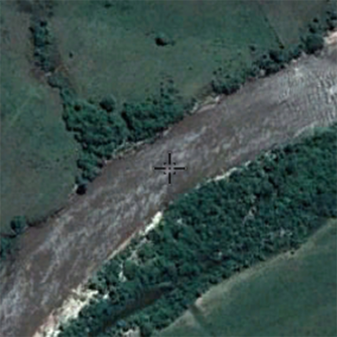
Exposed soil ⦁ Dry riverbed (no pasture)
Large buildings (industries, warehouses, etc.) in rural area
Low roughness ⦁ predominance of light green / white (RGB 564)
unpaved accesses and highways
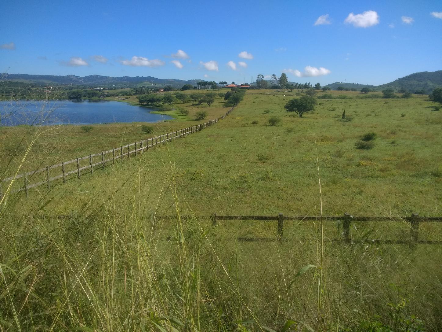
Pasture area, predominantly planted, used by livestock activity. Areas of natural pasture are predominantly classified as grassland formation that may or may not be grazed.
⦁ It is possible to perceive the boundaries between paddocks or properties (if there is a difference in the type of management)
Possible level curves
Intense light green or red color (RGB 564)
Color relationship to dry and rainy periods
May have exposed soil in overgrazing areas
Difference between native vegetation can be perceived through abrupt cuts / geometric shapes
Homogeneity can vary, depending on the presence of trees and variety (invasive) species
May occur in floodplain areas (drained)
Shade occurrence in moving reliefs
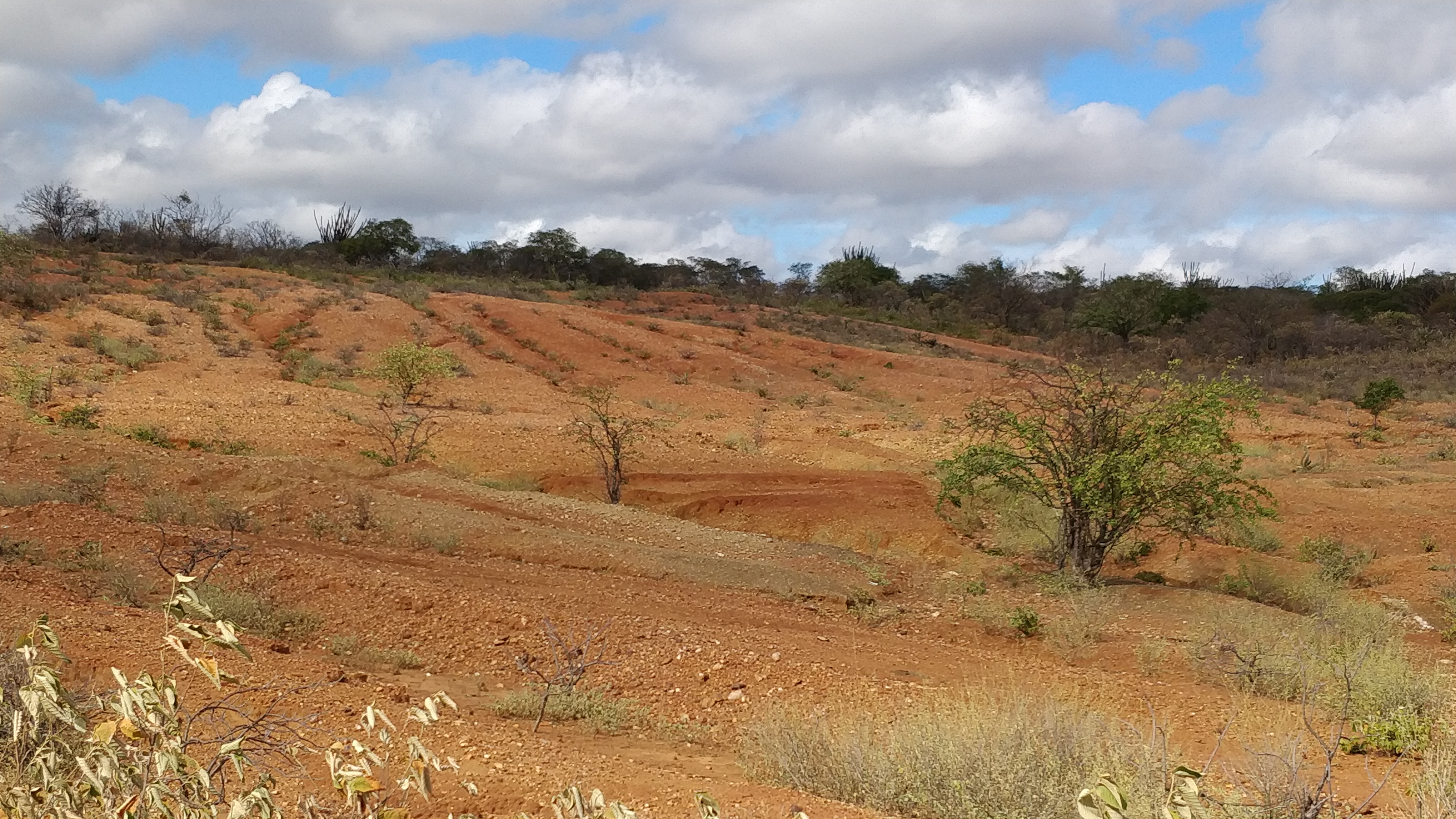
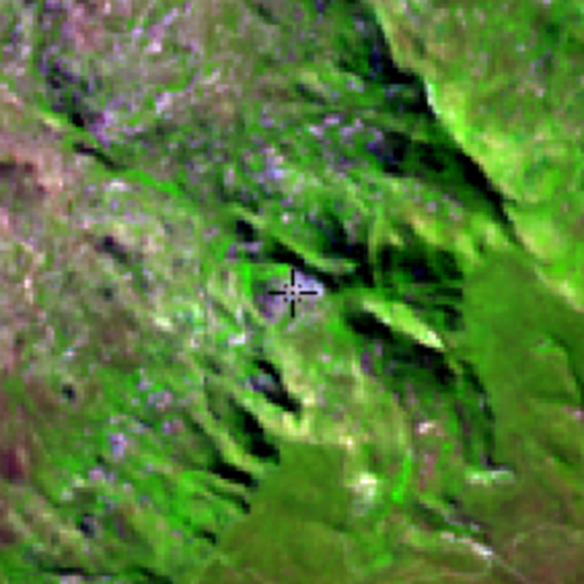
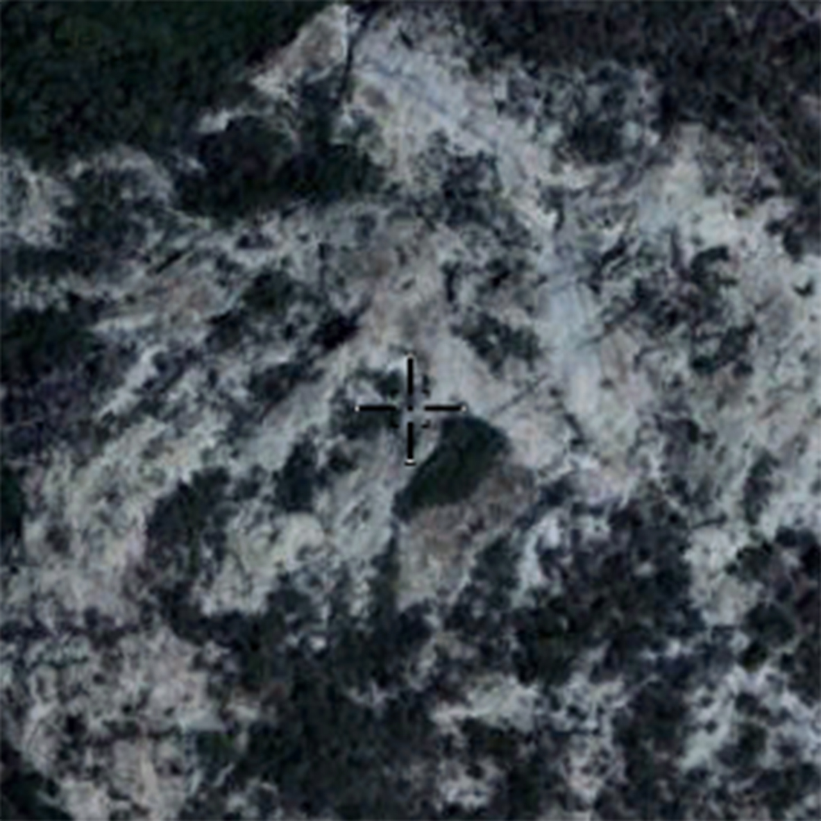
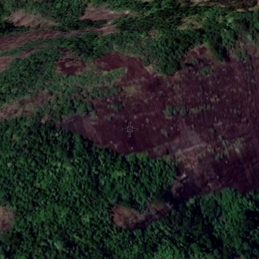
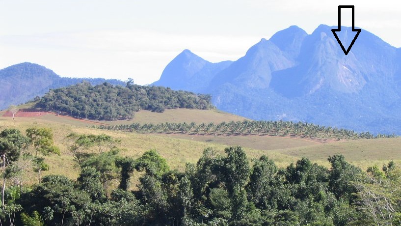
Naturally exposed rocks without soil cover, often with the partial presence of rupicolous vegetation and high slope.
Predominantly non-vegetated area
Grayish green or purple colors (RGB 564)
Occur in areas with high slopes and/or litolic soils
Medium roughness
In steep reliefs, it can occur in shaded areas
"Apicuns" or Salt flats are formations often without tree vegetation, associated to a higher, hypersaline and less flooded area in the mangrove, generally in the transition between this area and the continent.
Área salina sem vegetação
Saline area without vegetation
Near the coast
Occurrence associated with mangroves
Darker tones (due to the presence of mud)
Higher areas (plateaus) and not flooded
Vegetation types with predominance of semi-continuous canopy species - Wooded Steppe Savanna and Wooded Savanna.
Medium / medium-low roughness
Less intense red color (yellowish, dark green)
Color difference in dry and rainy periods
Less tree density
Presence of trees with a smaller size
It is possible to view the soil
Planted tree species for commercial use (e.g. Eucalyptus, Pinus and Araucaria)
Deep red (younger - RGB 564) or dark red (older - RGB 564)
Low roughness
Homogeneous texture (due to low diversity of tree species)
Consider up to 3 years of fallow
Urban areas with predominance of non-vegetated surfaces, including roads, highways and constructions.
Light blue or white color
Great heterogeneity of targets (buildings, trees, etc.)
High roughness
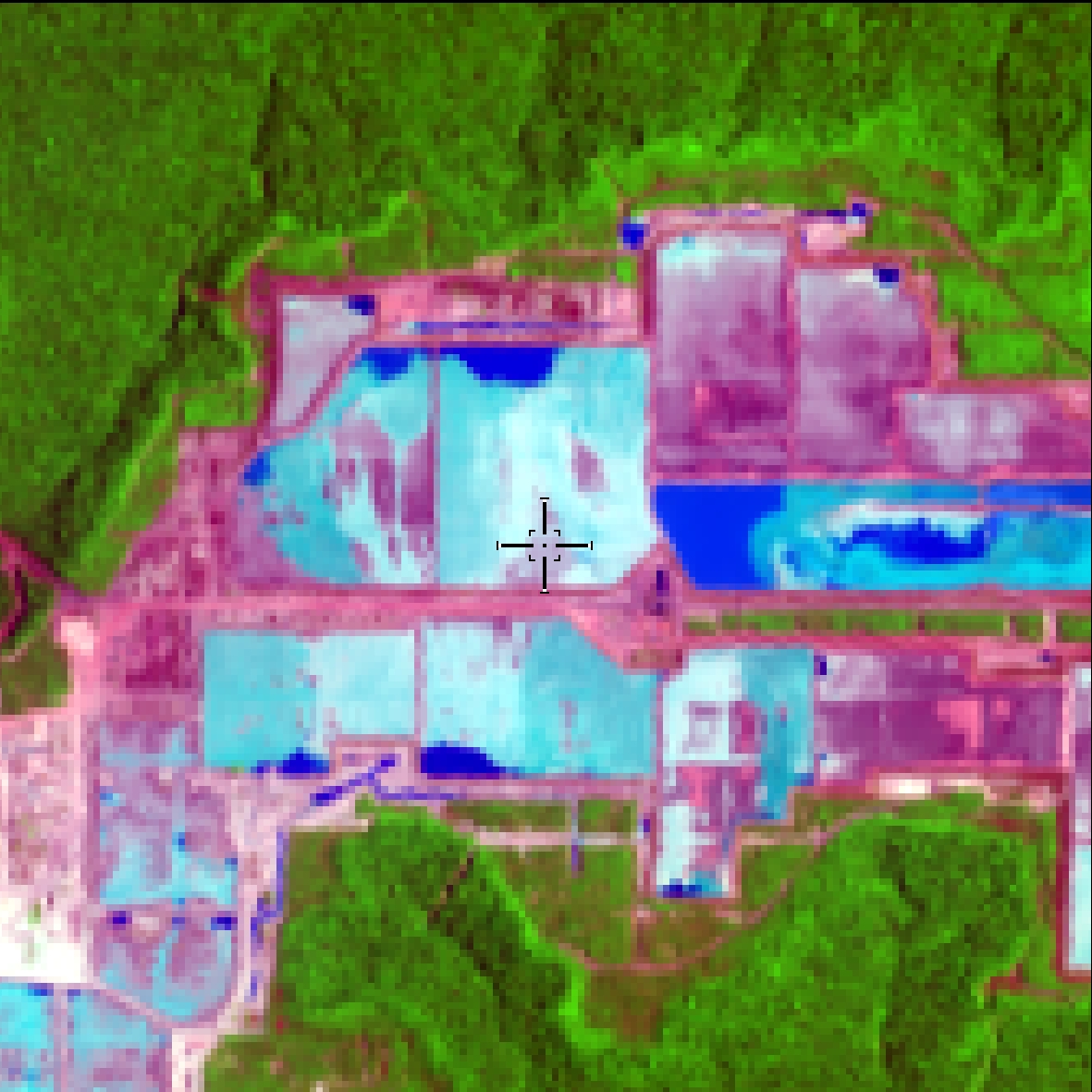
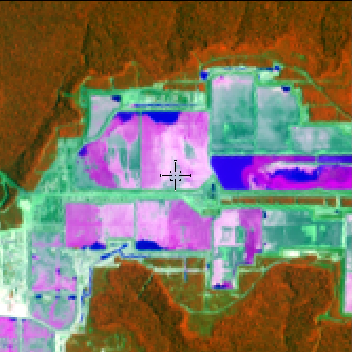
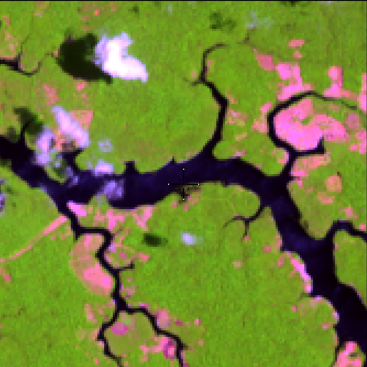
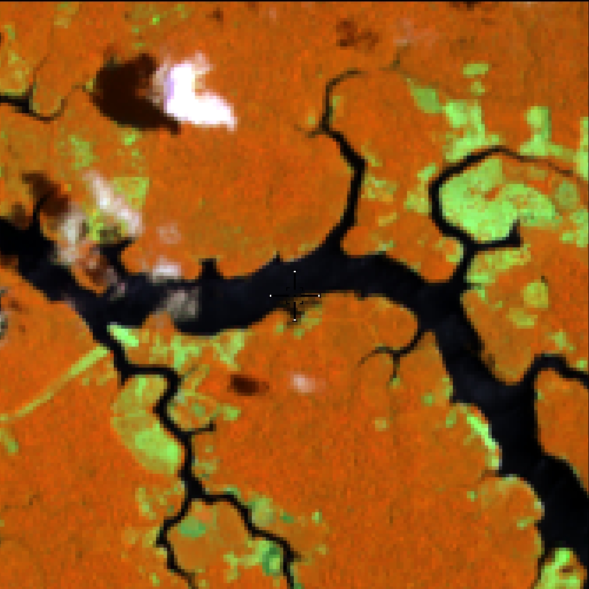
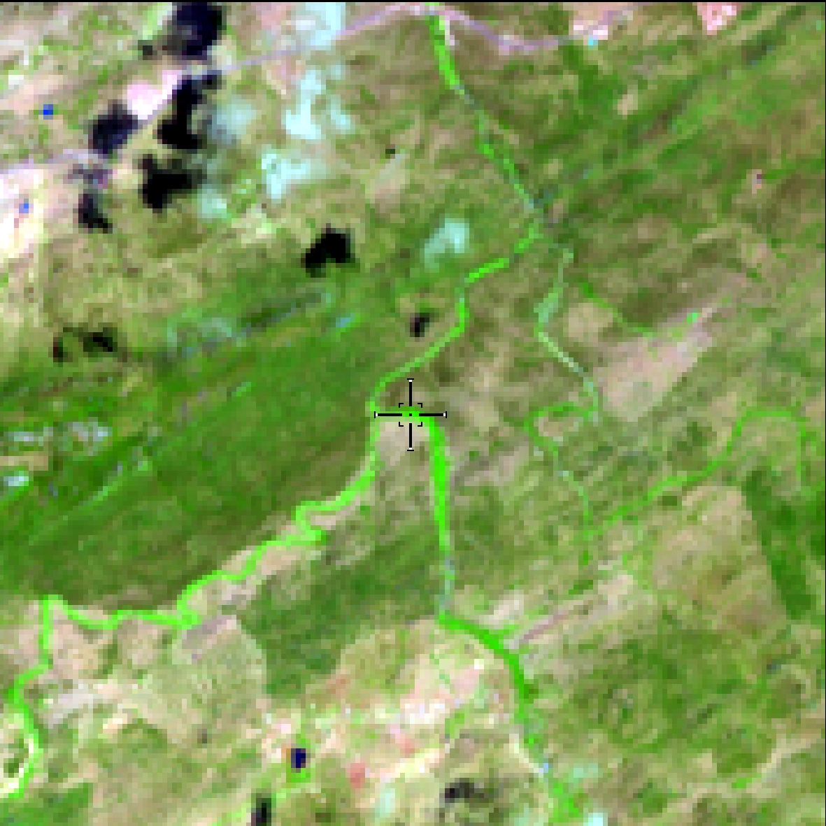
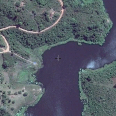
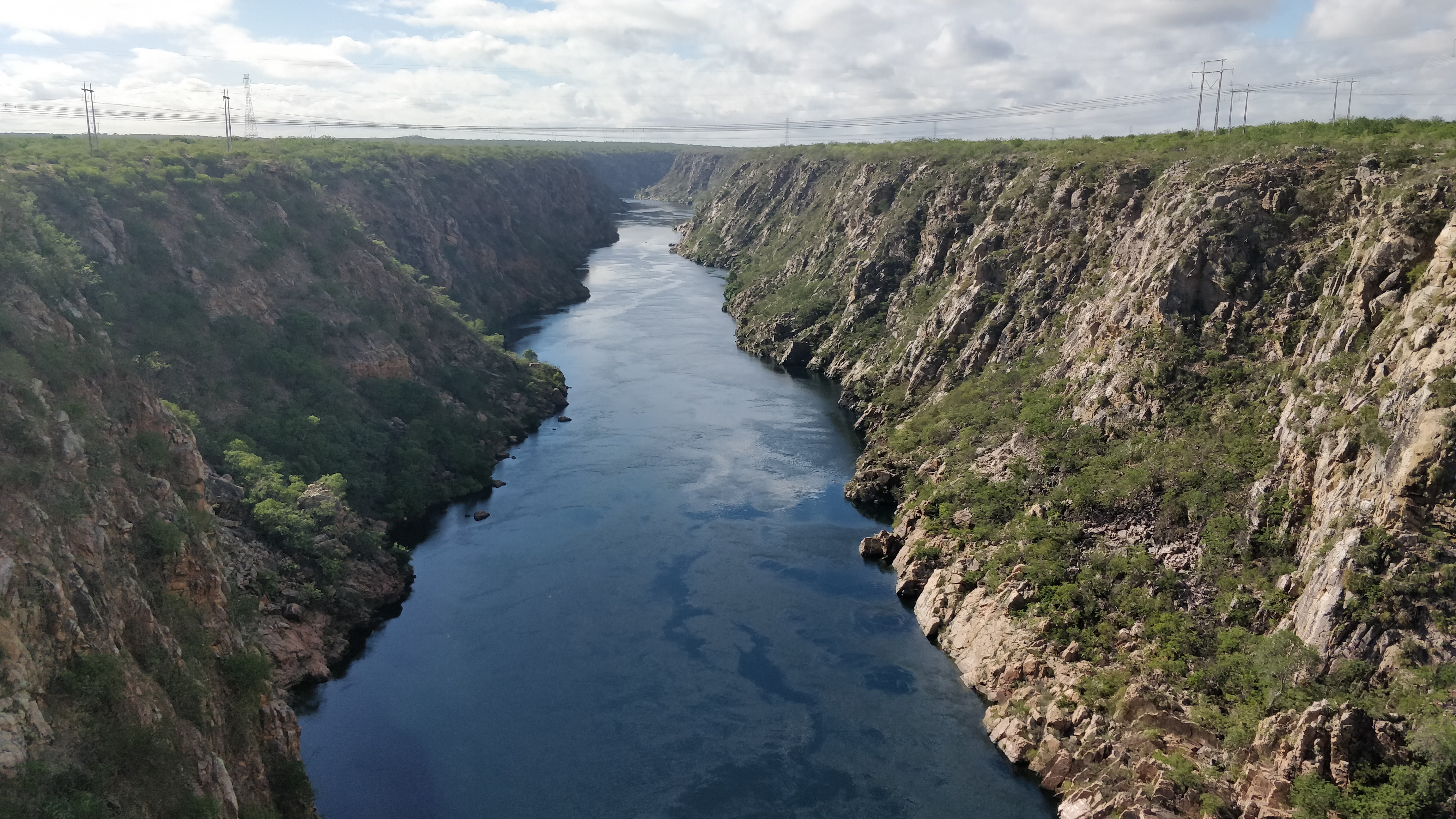
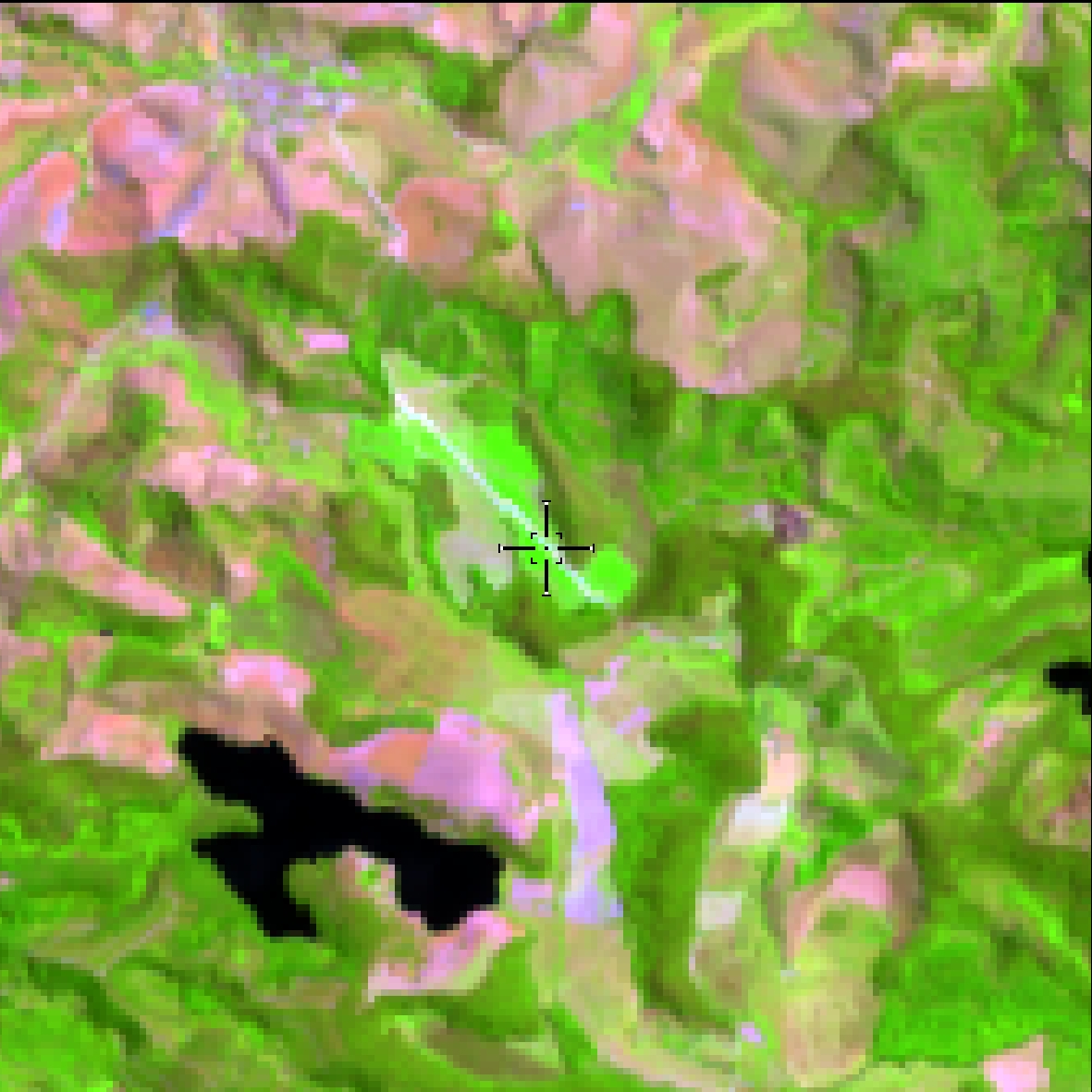
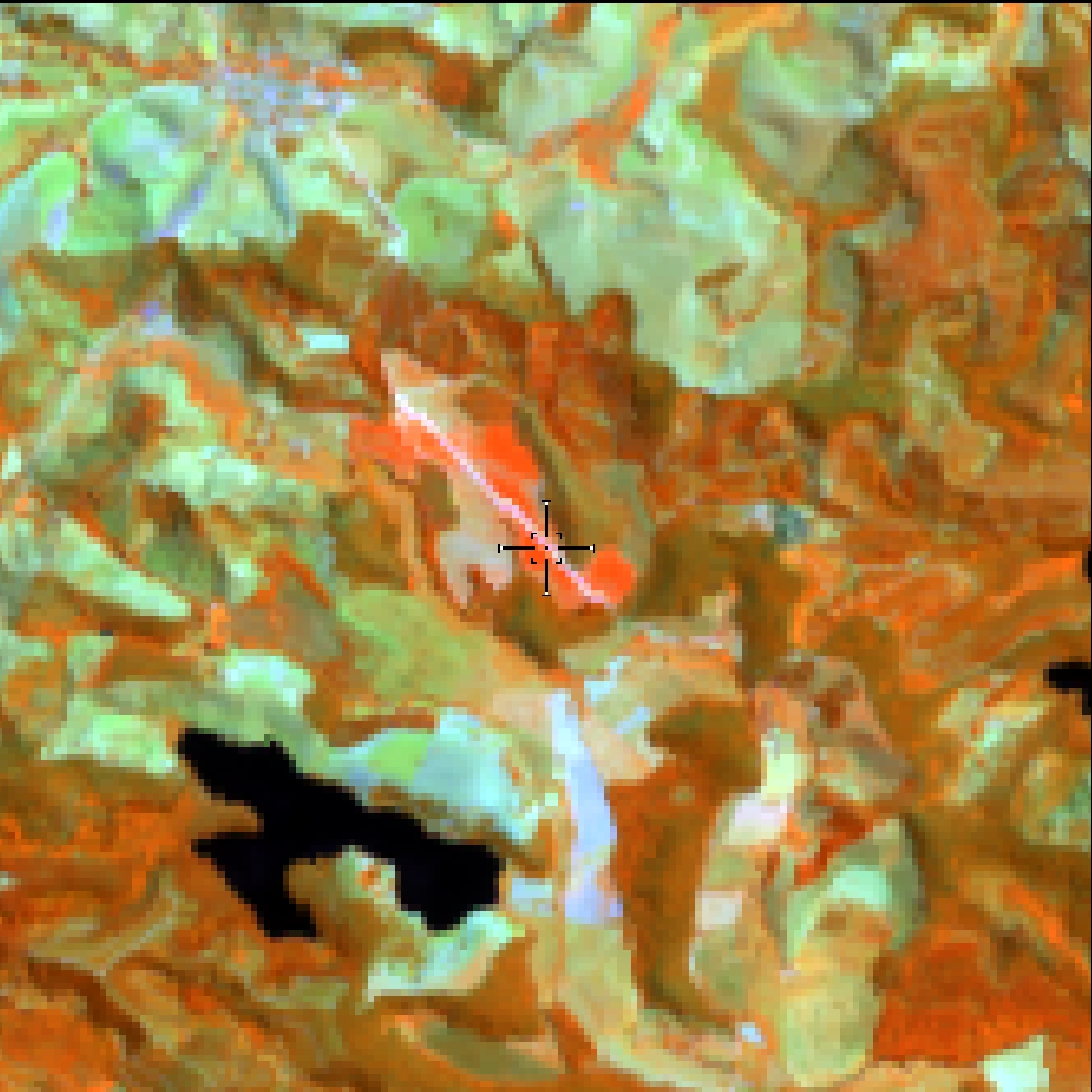
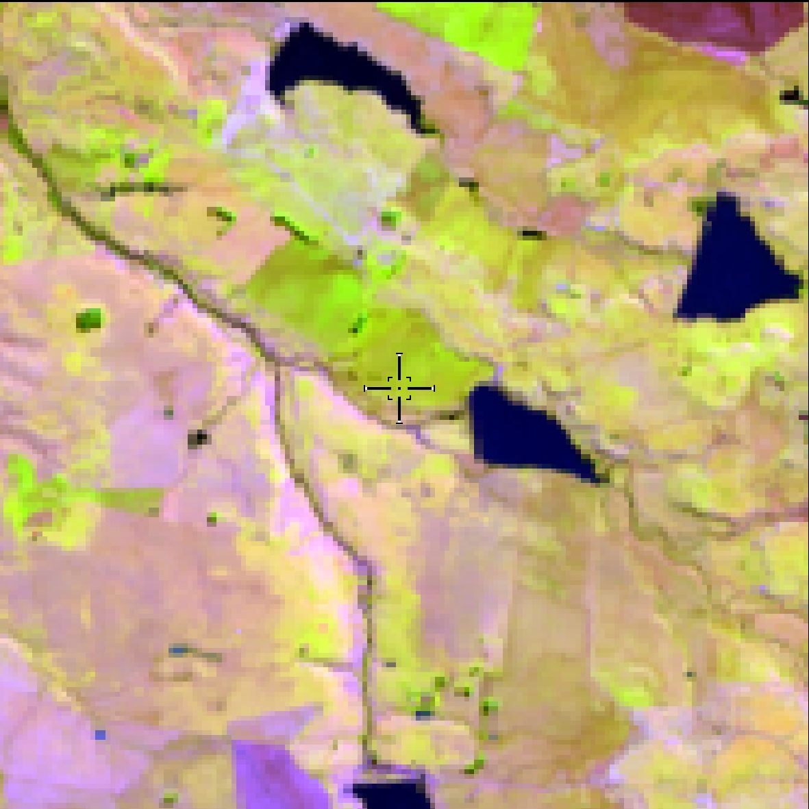
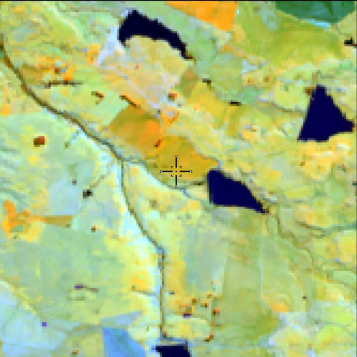
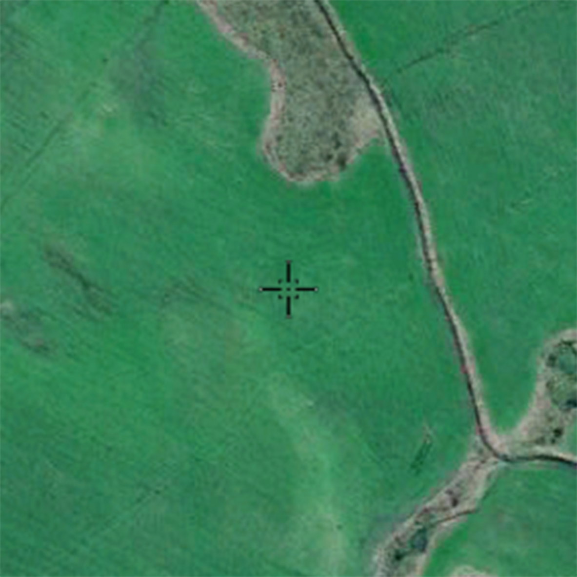
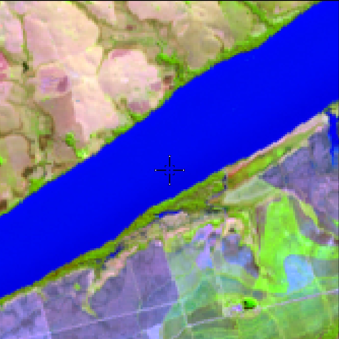
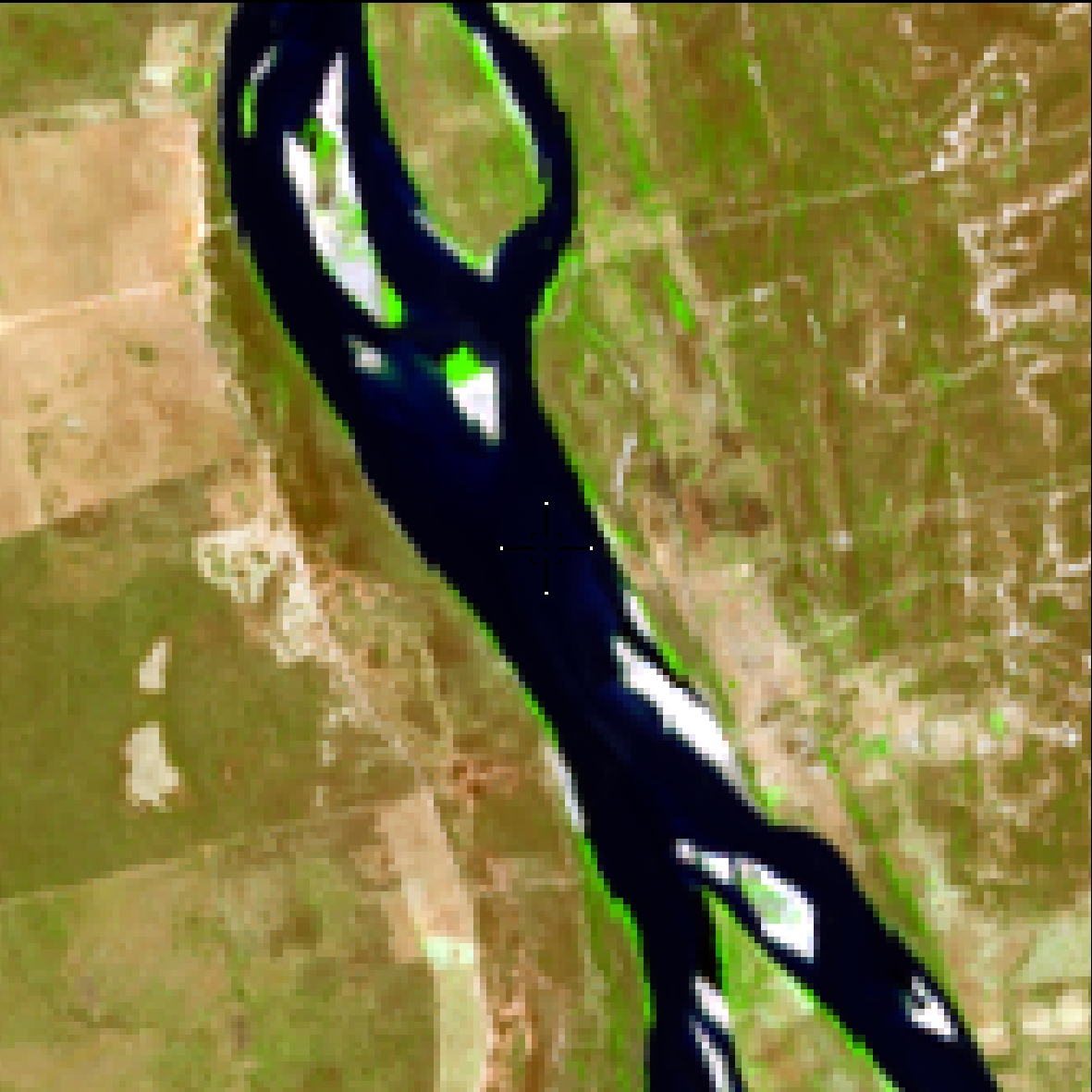
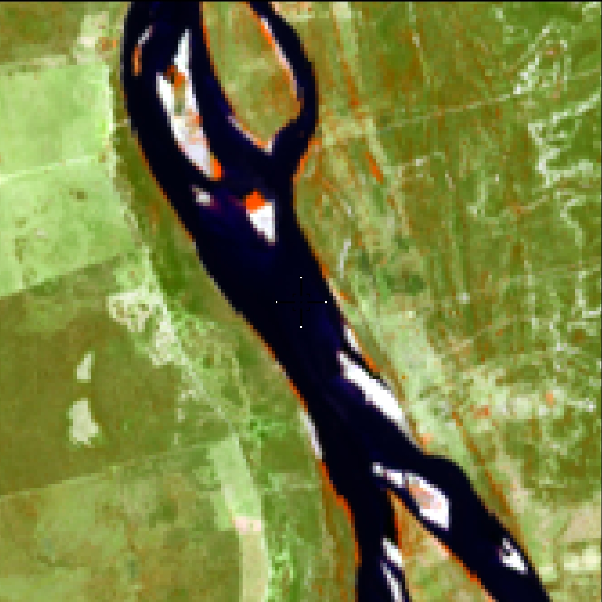
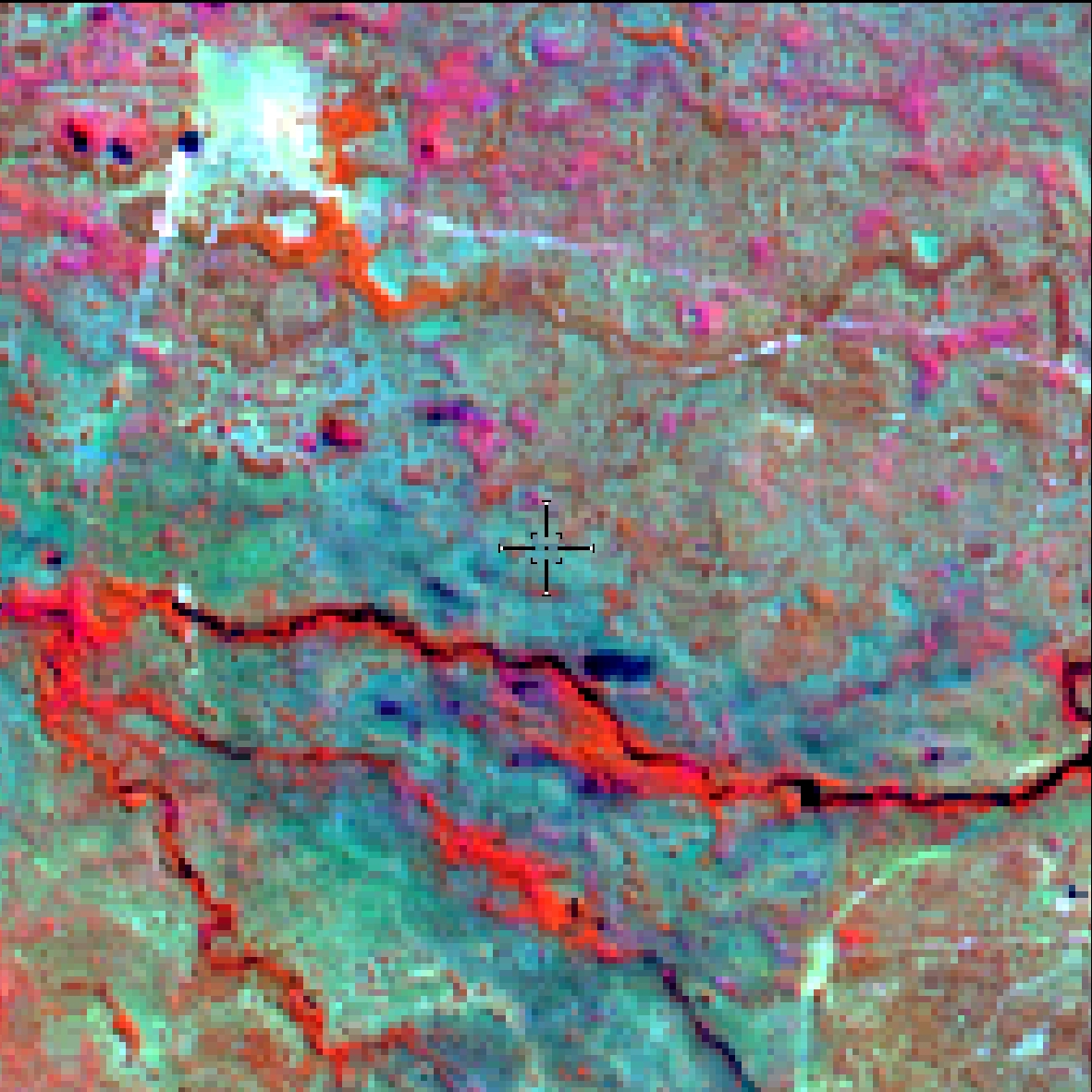
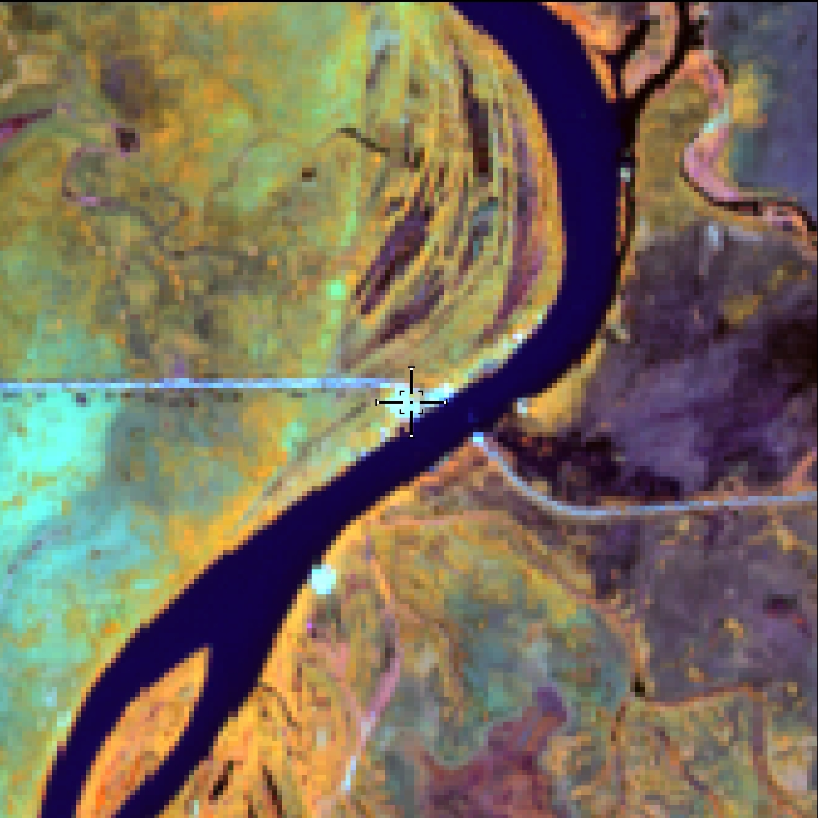
Rivers, lakes, dams, reservoirs and other water bodies
Low roughness
Color may vary between black and blue (the lighter, the greater the occurrence of sediment)
Little variation from dry to rainy period
Continuity of form
Consider hydroelectric reservoirs and dams
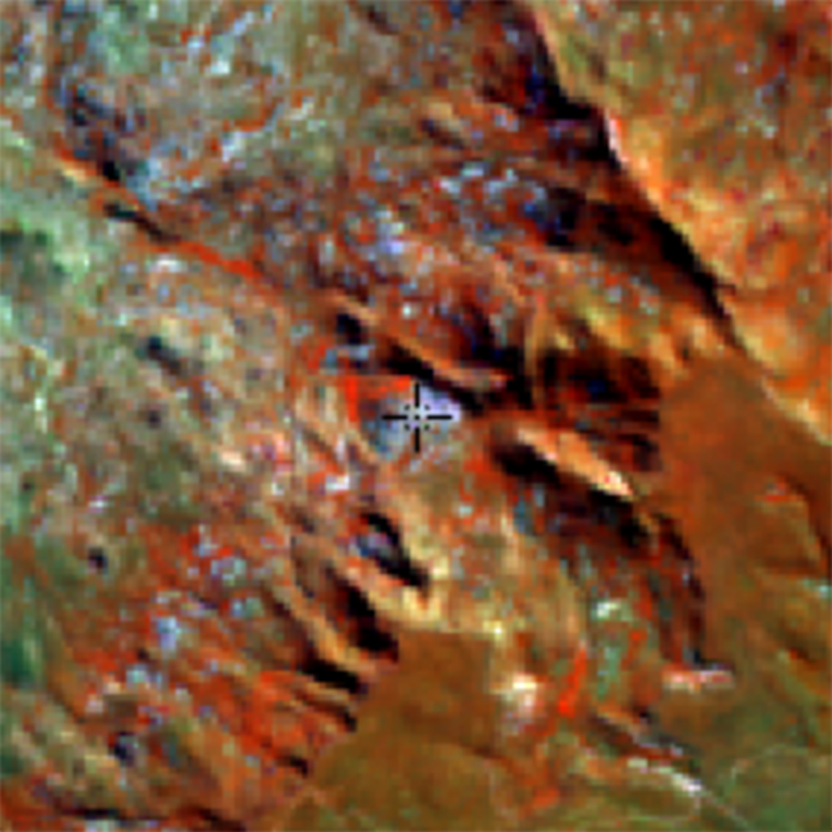
Naturally exposed rocks without soil cover, often with the partial presence of rupicolous vegetation and high slope.
Area predominantly non vegetated
Grayish green or Purple (RGB 564)
It can occur in areas with high slopes / litholic soils
Low or medium roughness
In steep reliefs, it can occur in shadow areas
Artificial lakes, where aquaculture and/or salt production activities predominate
Well-defined geometric shapes
Presence of water
Predominance on the coast (high number of dams)
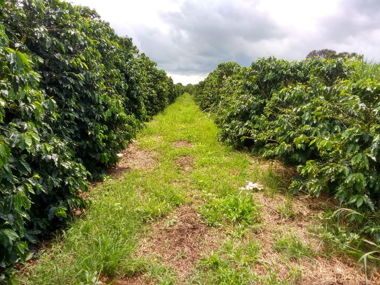
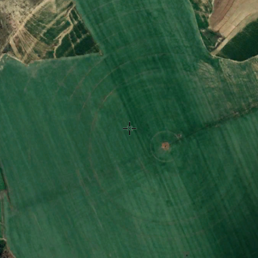
Areas predominantly occupied with temporary crops and, in some regions (mainly for the Northeast), with the presence of perennial crops.
Color yellow or orange (rainy season) and green, blue or white (dry season / straw)
Low roughness
Geometric shapes (rectangular or circular)
Occurrence of Peak of Cultivation in the rainy season (with the exception of pivots)
Tractor marks (high resolution)
In the case of rice, presence of drains and rotation with pasture.
Occurrence in areas close to rivers and lakes.
Consider agriculture to two years of intercalated pastures
Maior espaçamento entre as linhas de cultivo
Porte lower than planted forest
Increased spacing between the lines of cultivation
Light red (stature) or dark (porte high) / orange (coffee) (RGB 564)
High Uniformity (only one species )
Coffee planting in areas with high slope
Coconut planting on the coast
May occur close to forests
Savannas, Park and Grassland Steppe Savannas, Steppe and Shrub and Herbaceous Pioneers.
Low roughness
Predominance of grasses and shrubs
Species diversity
Green and not intense red (RGB 564)
Higher areas (plateaus) and not flooded
Predominance in the states of Rio Grande do Sul and Santa Catarina
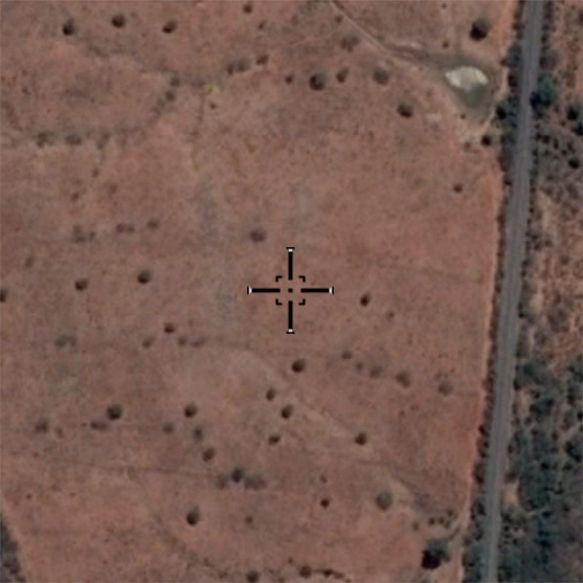
Planted tree species for commercial use (e.g. Eucalyptus, Pinus and Araucaria).
Deep red (younger) or dark (older)
Low roughness
Only 1 species (high homogeneity)
High density
Consider up to 3 years of fallow
Predominance of eucalyptus and pine (south)
Occurrence in flat and hilly areas
May occur in the woods
Dense, Open and Mixed Ombrophilous Forest, Semi-deciduous and Deciduous Seasonal Forest, and Pioneer Formation.
High roughness
High density of trees
Soil and grassy-shrub stratum not visible
Species diversity
Deep red / dark green color (dry period)
Dry forest occurs in flatter areas
Steppe, Forested and Wooded Savannas.
Medium / medium-low roughness
Less intense red color (yellowish, dark green - RGB 564)
Lower density of trees
Lower size
Higher spectral response of the soil
Occurrence in the south of Bahia and north of Minas Gerais (border with Cerrado and Caatinga)
Urban areas with predominance of non-vegetated surfaces, including roads, highways and constructions.
Light blue or white color
;
Great heterogeneity of targets (buildings, trees, etc.)
High roughness
Dense and Evergreen Forest formations, often flooded by tide and associated with the mangrove coastal ecosystem.
Near the sea associated with the river
Dense vegetation
Wetlands
Deep red color (influence of humidity on the spectral response)
Medium roughness
Homogeneous / uniform area
Flat areas at low altitudes
Areas where clear signs of extensive mineral extractions are present, showing clear exposure of the soil by the action of heavy machinery. Only regions surrounding the AhkBrasilien (AHK) and the CPRM digital reference data were considered.
White color, purple or blue
Presence of pits and tailings ponds
Geometric shapes
Presence of water
Herbaceous sandbanks.
Lowland areas and herbaceous sandbank
Proximity to dunes
Color green, light green
Low roughness
Herbaceous remains
Vegetated dunes (non-forest)
Occurrence restricted to the coast
Várzeas
Non-permeable surface areas (infrastructure, urban expansion or mining) not mapped into their classes and regions of exposed soil in natural or crop areas.
Exposed soil
Large isolated buildings (industries, warehouses, etc.)
Low roughness
Predominance of light green/white
Unpaved roads
River beaches
Pasture area, predominantly planted, linked livestock production activities. Areas of natural pasture are predominantly classified as grassland formation that may or may not be grazed.
Visible boundaries of the property (to differentiate from rural formation)
Presence of pasture reforms
Possible occurrence of contours
Intense light green or red color (RGB 564)
May have exposed soil in overgrazing areas
Difference between native vegetation can be seen in abrupt cuts/geometric shapes
Without great diversity of arboreal species
Low or medium roughness (in areas with many trees)
It can occur in drained floodplains
Beware of shadows in regions with more busy terrain
Sandy areas, with bright white color, where there is no vegetation predominance of any kind.
Sandy deposits on the coast
White color
Consider beaches with a small strip of sand
Rivers, lakes, dams, reservoirs and other water bodies.
Low roughness
Cor azul
Color may vary between black and blue (the lighter, the greater the occurrence of sediment)
Little variation from dry to rainy period
Continuity of form
Consider hydroelectric reservoirs anddams
Continuous canopy
Rough texture
Typically occurring next to drainage (riparian forests) and on the humid slopes to the south of hills and hills
In the region called Serra do Sudeste they assume a peculiar characteristic of savanoid formations.
Dark or light red color (in areas of raised relief, due to the shading of the slopes, as it presents a color closer to dark green - RGB 564)
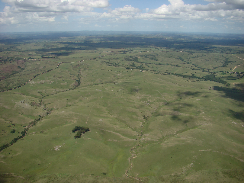
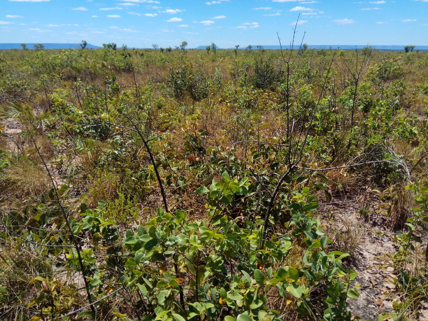
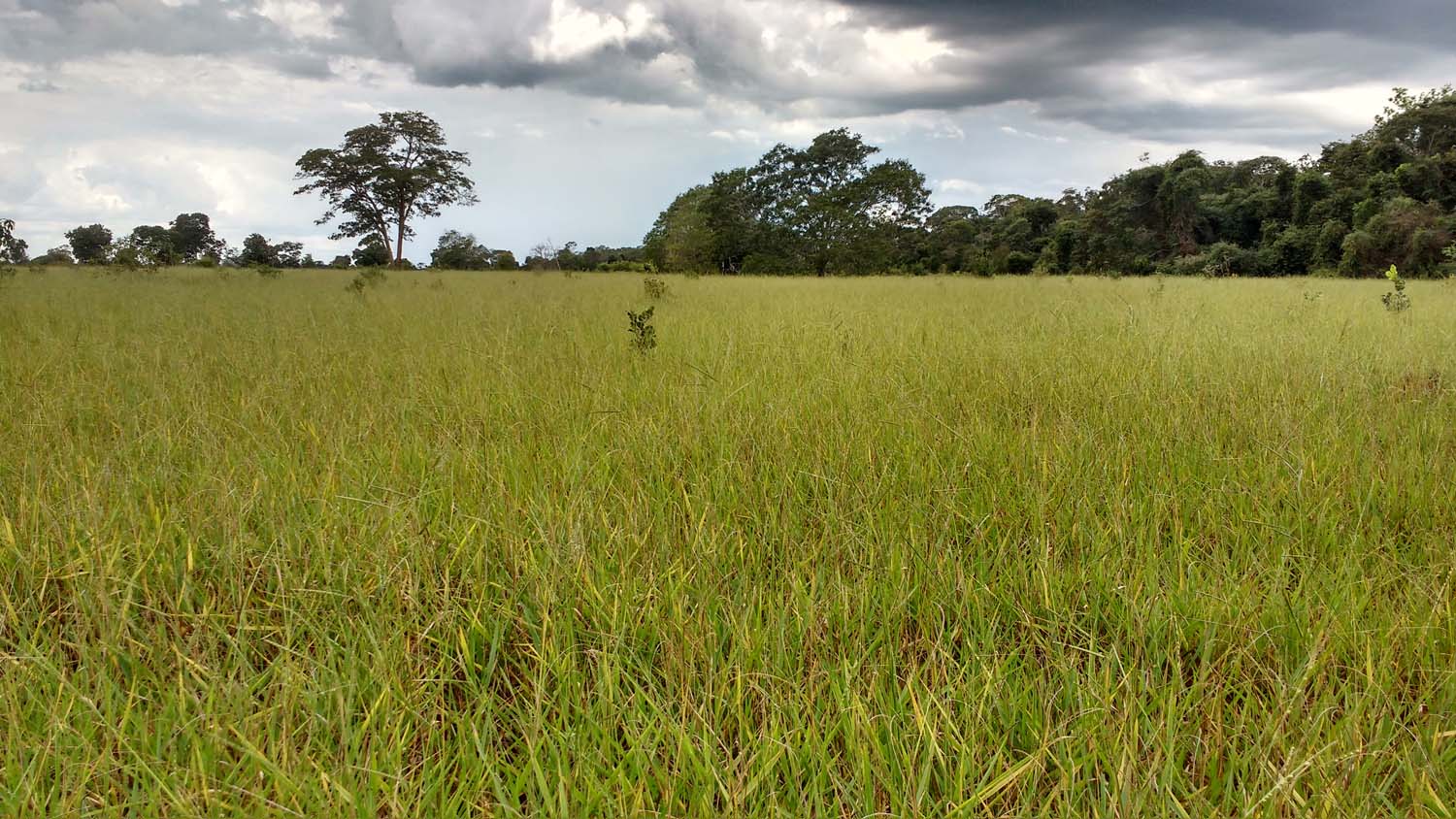
Vegetation with a predominance of grassy strata, with the presence of herbaceous and sub-shrub dicots. The botanical composition is influenced by edaphic and topographic gradients and by pasture management (livestock). They occur in deep to shallow soils, including rocky (rupestrian fields) and sandy (sandy or psamophilic fields). Occupy well-drained soil (mesic fields) to soils with higher moisture content (wet fields - with a strong presence of sedges). In most cases, it corresponds to native vegetation, but patches of exotic invasive vegetation or exotic forage use (planted pasture) may be present.
Wet field (associated with streams)
Sandy field (near beaches and dunes / sandbanks)
Shrub field (formations savanna more open)
Native pastures
Fallow areas with rice planting
Yellowish red color in the composition RGB 564
Planted tree species for commercial use (e.g. Eucalyptus, Pinus and Araucaria).
Deep red (RGB 564)
Tall trees
Texture homogeneous
Great territorial expansion in recent years
Areas predominantly occupied with temporary crops and, in some regions (mainly for the Northeast), with the presence of perennial crops.
Present with great expression both in smallholdings and in properties of medium and large territorial extension.
Peak cultivation in summer
Rice: present in areas of varzea and with irrigation channels / may have water
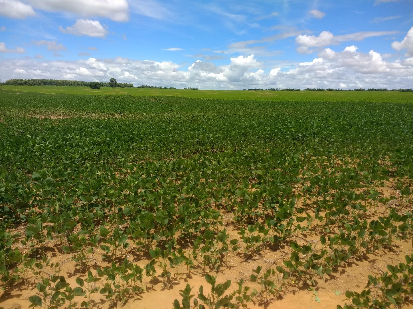
Soy: greater concentration in the northern portion of the biome
Reddish color and smooth / homogeneous texture during peak vegetative growth
Perennial agriculture is present insmall
Urban areas with predominance of non-vegetated surfaces, including roads, highways and constructions.
Paved roads near cities
Built areas
In the Pampa, this class corresponds to swampy areas, regionally called wetlands or salt marshes (saline influence). They are characterized by the occurrence of emergent, submerged or floating aquatic plants. They occupy plains and depressions of the land with soaked soil and also the shallow banks of ponds or water reservoirs.
Faded red
In the eastern portion of the biome are located close to the ponds
Flooded periods were considered to be water over 3 years old
Green and red not intense (RGB 564)
Areas highest and non-floodable
Rivers, lakes, dams, reservoirs and other water bodies
Low roughness
May appear varying in color between black and blue (the lighter, the greater the occurrence of sediments)
Continuity of form
Consider hydroelectric reservoirs and dams
Types of vegetation with a predominance of tree species, with continuous canopy (Mata Ciliar, Mata de Galeria, Mata Seca and Cerradão) (Ribeiro & Walter, 2008), in addition to semi-deciduous seasonal forests.
Continuous canopy
Rough texture
Typically occur next to drainage (riparian forests) and on wet slopes south of hills and hillsides
Dark or light red color (in areas of busy terrain, due to the shading of the slopes, as it presents a color closer to dark green)
Areas where clear signs of extensive mineral extractions are present, showing clear exposure of the soil by the action of heavy machinery. Only regions surrounding the AhkBrasilien (AHK) and the CPRM digital reference data were considered.
May appear in white, purple or blue (RGB 564)
;
Presence of pits and ponds of tailings
Dense and Evergreen Forest formations, often flooded by tide and associated with the mangrove coastal ecosystem.
Areas close to the sea, in these cases may be present around the river
Dense vegetation
Presence of trees with a smaller size
Flooded areas
Intense red color (influence of humidity on the spectral response) (RGB 564)
Medium roughness
Flat areas at low altitudes
Savanna formations with defined tree and shrub-herbaceous stratum (Cerrado Stricto Sensu: Dense, Typical, Sparse and Rupestrian Savanna).
Medium/medium-low roughness
Less intense red color (yellowish, dark green - RGB 564)
Color difference in dry and rainy periods
Less tree density
Presence of trees with a smaller size
It is possible to view the soil
Grassland formations with predominance of herbaceous stratum (dirty, clean and rupestrian fields).
Média Medium roughness
Predominance of grasses and shrubs
Green and red color not intense (RGB 564)
Planted tree species for commercial use (e.g. Eucalyptus, Pinus and Araucaria)
Deep red (newer) or dark (older)
Low roughness
Homogeneous texture (due to low species diversity)
Consider up to 3 years of fallow
Occurrence in flat and sloping areas
May occur in the middle of the forest
Predominantly occupied areas with temporary crops and, in some regions (mainly for the Northeast region) with the presence of perennial crops.
Yellow or orange color (rainy season) and green, blue or white (dry season / straw)
Low roughness (temporary crop)
Geometric shapes (rectangular or circular) )
Occurrence of peak cultivation in the rainy season (except for pivots)
Tractor brands (high resolution)
Consider agriculture for 2 years of interspersed pastures
Porte mais baixo do que floresta plantada (cultura perene)
Smaller than planted forest (perennial culture)
Greater spacing between cultivation lines (perennial culture)
Light red (low size) or dark (high size) / orange (coffee) (RGB 564)
Homogeneous texture (relationship with low species diversity)
Urban areas with predominance of non-vegetated surfaces, including roads, highways and constructions.
Light blue color or white
Grand heterogeneity (buildings, trees, etc.)
High roughness
Pasture area, predominantly planted, linked livestock production activities. Areas of natural pasture are predominantly classified as grassland formation that may or may not be grazed.
It is possible to perceive the boundaries between paddocks or properties (if there is a difference in the type of management)
Possible level curves
Intense light green or red color (RGB 564)
Color relation to dry and rainy periods
May have exposed soil in overgrazing areas
Difference between native vegetation can be perceived through abrupt cuts / geometric shapes
Homogeneity can vary, depending on the presence of trees and variety species (invasive)
May occur in areas of varzeas (drained)
Areas close to the sea, in these cases may be present around the river
Dense vegetation
Presence of trees with a smaller size
Flat areas in low altitudes
Deep red color (influence of moisture) (RGB 564)
Areas flooded
Average roughness
"Apicuns" or Salt flats are formations often without tree vegetation, associated to a higher, hypersaline and less flooded area in the mangrove, generally in the transition between this area and the continent.
Saline area without vegetation Near the coast Occurrence associated with mangroves Darker tones (due to the presence of mud)
Higher areas and not flooded
Rocks naturally exposed on the land surface without soil cover, often with partial presence of rupicolous vegetation
Unvegetated Predominantly area
Grayish green or Purple (RGB 564)
It can occur in areas with high slopes / litholic soils
Low or medium roughness
In steep reliefs, it can occur in areas of shade
Sandy areas, with bright white color, where there is no vegetation predominance of any kind.
Sandy deposits on the coast
White color
Homogeneous texture
May appear with curved shapes (due to the action of the wind) and associated with shadows
Rivers, lakes, dams, reservoirs and other water bodies.
Low roughness
Color may vary between black and blue (the lighter, the greater the occurrence of sediment)
Little variation from dry to rainy period
Continuity geometry
Consider hydroelectric dams and reservoirs
Tall trees and shrubs in the lower stratum: Deciduous and Semi-deciduous Seasonal Forest, Wooded Savanna, Wooded Steppe Savanna, and Fluvial and/or Lacustre Influenced Pioneer Formations.
Continuous canopy
High roughness (due to the formation of tree crowns, without visualization of the shrub layer)
Dark red color, light (depending on the relief) or yellowish (wetter areas) (RGB 564)
Higher density of trees
Presence in dry areas (mountain ranges) and wet areas (surrounding rivers)
Areas where clear signs of extensive mineral extractions are present, showing clear exposure of the soil by the action of heavy machinery. Only regions surrounding the AhkBrasilien (AHK) and the CPRM digital reference data were considered.
It may appear in white, purple or blue (RGB 564)
Presence of pits and tailings ponds
Predominance in the northern region of the biome, and in the municipalities of Cuiabá and Corumbá
Small tree species, sparsely arranged in the shrub and herbaceous continuous vegetation. The herbaceous vegetation mixes with erect and decumbent shrubs.
Medium-high roughness
Less intense red color (yellowish, dark green)
Presence of smaller trees
Recurring in areas with less influence of the flood pulse
 "
+
"
+
Vegetation with a predominance of grassy stratum, with the presence of isolated and stunted woody shrubs. The botanical composition is influenced by the edaphic and topographic gradients and pasture management (livestock). Patches of invasive exotic vegetation or forage use (planted pasture) may be present forming mosaics with native vegetation.
Low roughness
Predominance of grassland in the time series (in relation to wetland)
Lighter green color or less intense red (RGB 564)
Dry period does not show moisture
Transition from grassland to wetland after a period of 10 years
Predominance of grasses and spaced shrub vegetation (few trees)
Planted tree species for commercial use (e.g. Eucalyptus, Pinus and Araucaria).
Deep red (younger) or dark (older) (RGB 564)
Predominance of teak
Little seasonal variation
Shades of red (dark when older - RGB 564)
Medium/high roughness
Predominantly occupied areas with temporary crops and, in some regions with the presence of perennial crops.
Yellow or orange color (rainy period) and green, blue or white (dry period/with straw) (RGB 564)
Geometric shapes (rectangular or circular)
Occurrence of crop peak in the rainy period (except pivots)
Tractor marks (high resolution)
Greater spacing between crop lines (perennial crop)
Presence on drier edges (higher areas near the Cerrado, north and south of the Pantanal)
Homogeneous texture (related to the low diversity of species)
Urban areas with predominance of non-vegetated surfaces, including roads, highways and constructions.
Light blue or white color
Spectral heterogeneity of targets (buildings, trees, etc.)
High roughness
Pasture area, predominantly planted, used by livestock activity. Areas of natural pasture are predominantly classified as grassland formation that may or may not be grazed.
It is possible to see the boundaries between paddocks or properties (in case there is a difference in the type of management)
Predominance in areas with less influence of the flood pulse
Intense light green color or expensive red (RGB 564)
Mountain range scars
Lighter green , variation for lighter colors where there is exposed soil (proximity to the drinking fountain, sandy soils…)
Difference between native vegetation can be perceived through abrupt cuts/geometric shapes
Homogeneity may vary, depending on the presence of trees and variety of species (invading)
Exposed soil areas (mainly sandy soil) not classified as Grassland Formation or Pasture.
Exposed soil
Low roughness
Predominance of light green/white (RGB 564)
Unpaved roads
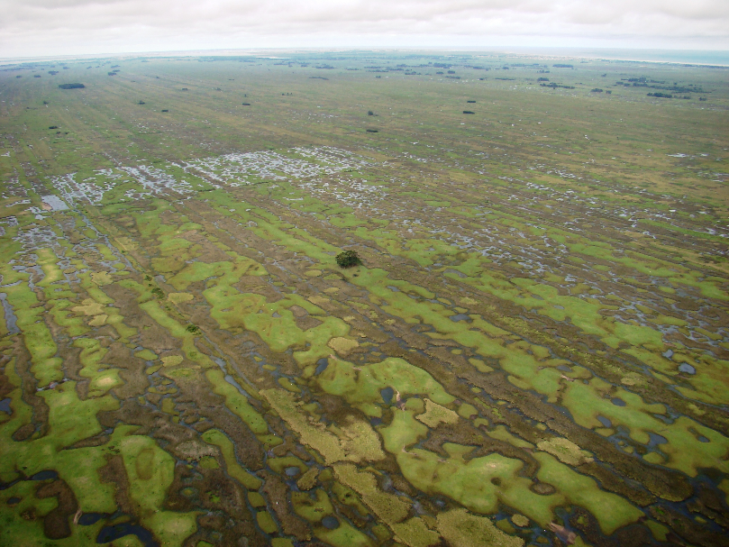
Herbaceous vegetation with a predominance of grasses subject to permanent or temporary flooding (at least once a year) according to the natural flood pulses. The woody element can be present on the country matrix forming a mosaic with shrub or tree plants (e.g.: cambarazal, paratudal and carandazal). Swampy areas generally occur on the banks of temporary or permanent lagoons occupied by emergent, submerged or floating aquatic plants (e.g. swamps and barns). Areas with a water surface, but difficult to classify due to the amount of macrophytes, eutrophication or sediments, were also included in this category.
Natural ponds (seasonal) with variations in edge and color (presence of sediments and macrophytes)
Color variation (light red, blue, green)
Low roughness
Predominance around watercourses
Rivers, lakes, dams, reservoirs and other water bodies.
Low roughness
May appear varying in color between black and blue (presence of sediments)
Little variation from the dry to the rainy period
Continuous forms
Consider hydroelectric reservoirs and dams


